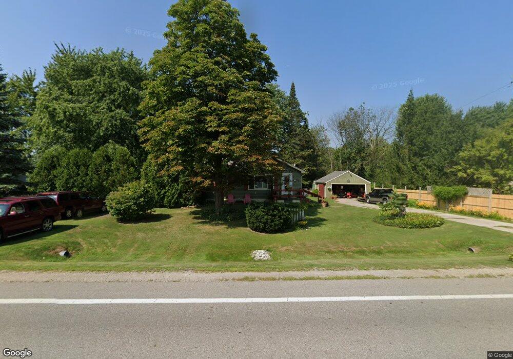
1941 Range Rd Kimball, MI 48074
Estimated Value: $142,000 - $156,000
3
Beds
1
Bath
1,009
Sq Ft
$150/Sq Ft
Est. Value
About This Home
This home is located at 1941 Range Rd, Kimball, MI 48074 and is currently estimated at $151,030, approximately $149 per square foot. 1941 Range Rd is a home located in St. Clair County with nearby schools including Kimball Elementary School, Central Middle School, and Port Huron High School.
Ownership History
Date
Name
Owned For
Owner Type
Purchase Details
Closed on
Aug 12, 2024
Sold by
Hebert Joseph R
Bought by
Joseph R Hebert And Vicky R Hebert Revocable and Hebert
Current Estimated Value
Create a Home Valuation Report for This Property
The Home Valuation Report is an in-depth analysis detailing your home's value as well as a comparison with similar homes in the area
Home Values in the Area
Average Home Value in this Area
Purchase History
| Date | Buyer | Sale Price | Title Company |
|---|---|---|---|
| Joseph R Hebert And Vicky R Hebert Revocable | -- | None Listed On Document | |
| Joseph R Hebert And Vicky R Hebert Revocable | -- | None Listed On Document |
Source: Public Records
Tax History
| Year | Tax Paid | Tax Assessment Tax Assessment Total Assessment is a certain percentage of the fair market value that is determined by local assessors to be the total taxable value of land and additions on the property. | Land | Improvement |
|---|---|---|---|---|
| 2025 | $688 | $73,500 | $0 | $0 |
| 2024 | $668 | $70,300 | $0 | $0 |
| 2023 | $612 | $67,600 | $0 | $0 |
| 2022 | $1,169 | $62,300 | $0 | $0 |
| 2020 | $1,116 | $56,300 | $0 | $56,300 |
| 2019 | $1,101 | $49,800 | $0 | $0 |
| 2018 | $1,032 | $44,100 | $0 | $0 |
| 2017 | $1,015 | $45,600 | $0 | $0 |
| 2016 | $504 | $45,600 | $0 | $0 |
| 2015 | -- | $43,800 | $0 | $43,800 |
| 2014 | -- | $35,400 | $0 | $35,400 |
| 2013 | -- | $48,900 | $0 | $0 |
Source: Public Records
Map
Nearby Homes
- 0000 Range Rd
- 1405 Range Rd
- 1814 Leland Rd
- 0 Wall Rd Unit 50185999
- 00 Range Rd
- 00 Howard Rd
- V/L Allen
- 0 Allen Rd Unit 20250008597
- 0 Allen Rd Unit 20250008612
- 4380 Lapeer Rd
- 0 Lapeer Rd Unit 50137357
- 269 Westbrook Ct
- 284 Rosebud Ct
- 2668 Range Rd
- 0 Range Vl Rd
- 209 Oldbrook Ln
- 174 Meadow Ln
- 104 Oldbrook Ln
- 153 Meadow Ln
- 0000 Wisconsin Wisconsin Ave
Your Personal Tour Guide
Ask me questions while you tour the home.