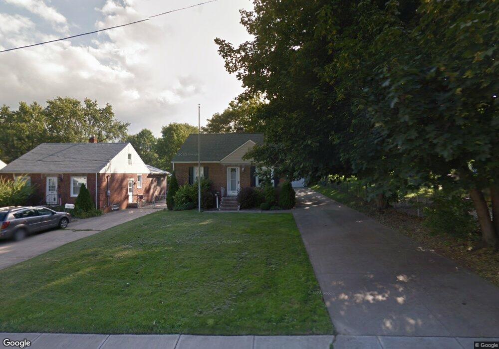
1941 Rockefeller Rd Wickliffe, OH 44092
Wickliffe AreaEstimated Value: $187,000 - $219,000
About This Home
This home is located at 1941 Rockefeller Rd, Wickliffe, OH 44092 and is currently estimated at $204,704, approximately $171 per square foot. 1941 Rockefeller Rd is a home located in Lake County with nearby schools including Wickliffe Elementary School, Wickliffe Middle School, and Wickliffe High School.
Ownership History
We collect this data history from publicly available records. To have your information removed, we recommend requesting removal directly through your county’s website.
Purchase Details
Home Financials for this Owner
Home Financials are based on the most recent Mortgage that was taken out on this home.Home Values in the Area
Average Home Value in this Area
Purchase History
We collect this data history from publicly available records. To have your information removed, we recommend requesting removal directly through your county’s website.
| Date | Buyer | Sale Price | Title Company |
|---|---|---|---|
| $114,500 | Real Estate Title |
Mortgage History
We collect this data history from publicly available records. To have your information removed, we recommend requesting removal directly through your county’s website.
| Date | Status | Borrower | Loan Amount |
|---|---|---|---|
| Open | $65,600 | ||
| Closed | $73,500 | ||
| Closed | $19,000 | ||
| Closed | $94,500 |
Tax History
We collect this data history from publicly available records. To have your information removed, we recommend requesting removal directly through your county’s website.
| Year | Tax Paid | Tax Assessment Tax Assessment Total Assessment is a certain percentage of the fair market value that is determined by local assessors to be the total taxable value of land and additions on the property. | Land | Improvement |
|---|---|---|---|---|
| 2025 | -- | $58,730 | $16,420 | $42,310 |
| 2024 | -- | $58,730 | $16,420 | $42,310 |
| 2023 | $5,500 | $44,720 | $13,870 | $30,850 |
| 2022 | $3,208 | $44,720 | $13,870 | $30,850 |
| 2021 | $3,222 | $44,720 | $13,870 | $30,850 |
| 2020 | $3,108 | $36,660 | $11,370 | $25,290 |
| 2019 | $3,106 | $36,660 | $11,370 | $25,290 |
| 2018 | $2,680 | $34,260 | $12,460 | $21,800 |
| 2017 | $2,413 | $34,260 | $12,460 | $21,800 |
| 2016 | $2,401 | $34,260 | $12,460 | $21,800 |
| 2015 | $2,359 | $34,260 | $12,460 | $21,800 |
| 2014 | $2,078 | $34,260 | $12,460 | $21,800 |
| 2013 | $2,077 | $34,260 | $12,460 | $21,800 |
Map
- 2174 Rockefeller Rd
- 1925 Robindale St
- 2182 Buena Vista Dr
- 1548 E 296th St
- 2200 Buena Vista Dr
- 1802 Lincoln Rd
- 2245 Sunset Dr
- 0 Green Ridge Dr
- 1440 Rockefeller Rd
- 29734 Euclid Ave
- 1806 Kennedy Dr
- 1828 E 291st St
- 29315 Nehls Park Dr
- 30111 Bonnie View Dr
- 1725 E 290th St
- 1926 E 290th St
- 2212 Larchmont Dr
- 1719 E 300th St
- 30190 Bonnie View Dr
- 1860 Ridgewick Dr
- 1915 Rockefeller Rd
- 1911 Rockefeller Rd
- 1925 Rockefeller Rd
- 1905 Rockefeller Rd
- 1901 Rockefeller Rd
- 1931 Rockefeller Rd
- 29353 Laurel Ln
- 1906 Rockefeller Rd
- 1935 Rockefeller Rd
- 1855 Rockefeller Rd
- 29343 Laurel Ln
- 1851 Rockefeller Rd
- 29354 Laurel Ln
- 1860 Rockefeller Rd
- 1900 Rockefeller Rd
- 1845 Rockefeller Rd
- 29344 Laurel Ln
- 29333 Laurel Ln
- 29423 Ridge Rd
- 29427 Ridge Rd
Ask me questions while you tour the home.