1941 Whitewood Dr Madison, OH 44057
Estimated Value: $223,000 - $256,000
3
Beds
3
Baths
1,294
Sq Ft
$183/Sq Ft
Est. Value
About This Home
This home is located at 1941 Whitewood Dr, Madison, OH 44057 and is currently estimated at $236,787, approximately $182 per square foot. 1941 Whitewood Dr is a home located in Lake County with nearby schools including North Elementary School, Madison Middle School, and Madison High School.
Ownership History
Date
Name
Owned For
Owner Type
Purchase Details
Closed on
May 20, 2014
Sold by
Fortney James C and Fortney Amy L
Bought by
Charlton Matthew
Current Estimated Value
Home Financials for this Owner
Home Financials are based on the most recent Mortgage that was taken out on this home.
Original Mortgage
$117,727
Outstanding Balance
$93,239
Interest Rate
5.5%
Mortgage Type
FHA
Estimated Equity
$143,548
Purchase Details
Closed on
Nov 28, 1999
Sold by
Porter Wayne L and Porter Elizabeth
Bought by
Fortney James C and Fortney Amy L
Home Financials for this Owner
Home Financials are based on the most recent Mortgage that was taken out on this home.
Original Mortgage
$117,943
Interest Rate
8.02%
Mortgage Type
FHA
Purchase Details
Closed on
Jan 1, 1990
Bought by
Porter Wayne L
Create a Home Valuation Report for This Property
The Home Valuation Report is an in-depth analysis detailing your home's value as well as a comparison with similar homes in the area
Home Values in the Area
Average Home Value in this Area
Purchase History
| Date | Buyer | Sale Price | Title Company |
|---|---|---|---|
| Charlton Matthew | $119,900 | First Amer Title Ins Co | |
| Fortney James C | $119,500 | Real Estate Title | |
| Porter Wayne L | -- | -- |
Source: Public Records
Mortgage History
| Date | Status | Borrower | Loan Amount |
|---|---|---|---|
| Open | Charlton Matthew | $117,727 | |
| Previous Owner | Fortney James C | $117,943 |
Source: Public Records
Tax History
| Year | Tax Paid | Tax Assessment Tax Assessment Total Assessment is a certain percentage of the fair market value that is determined by local assessors to be the total taxable value of land and additions on the property. | Land | Improvement |
|---|---|---|---|---|
| 2025 | -- | $68,090 | $23,910 | $44,180 |
| 2024 | -- | $68,090 | $23,910 | $44,180 |
| 2023 | $5,877 | $52,870 | $19,320 | $33,550 |
| 2022 | $3,246 | $52,870 | $19,320 | $33,550 |
| 2021 | $3,252 | $52,870 | $19,320 | $33,550 |
| 2020 | $3,176 | $45,570 | $16,650 | $28,920 |
| 2019 | $3,178 | $45,570 | $16,650 | $28,920 |
| 2018 | $3,052 | $43,680 | $16,650 | $27,030 |
| 2017 | $3,032 | $43,680 | $16,650 | $27,030 |
| 2016 | $2,751 | $43,680 | $16,650 | $27,030 |
| 2015 | $2,614 | $43,680 | $16,650 | $27,030 |
| 2014 | $2,674 | $43,680 | $16,650 | $27,030 |
| 2013 | $2,679 | $43,680 | $16,650 | $27,030 |
Source: Public Records
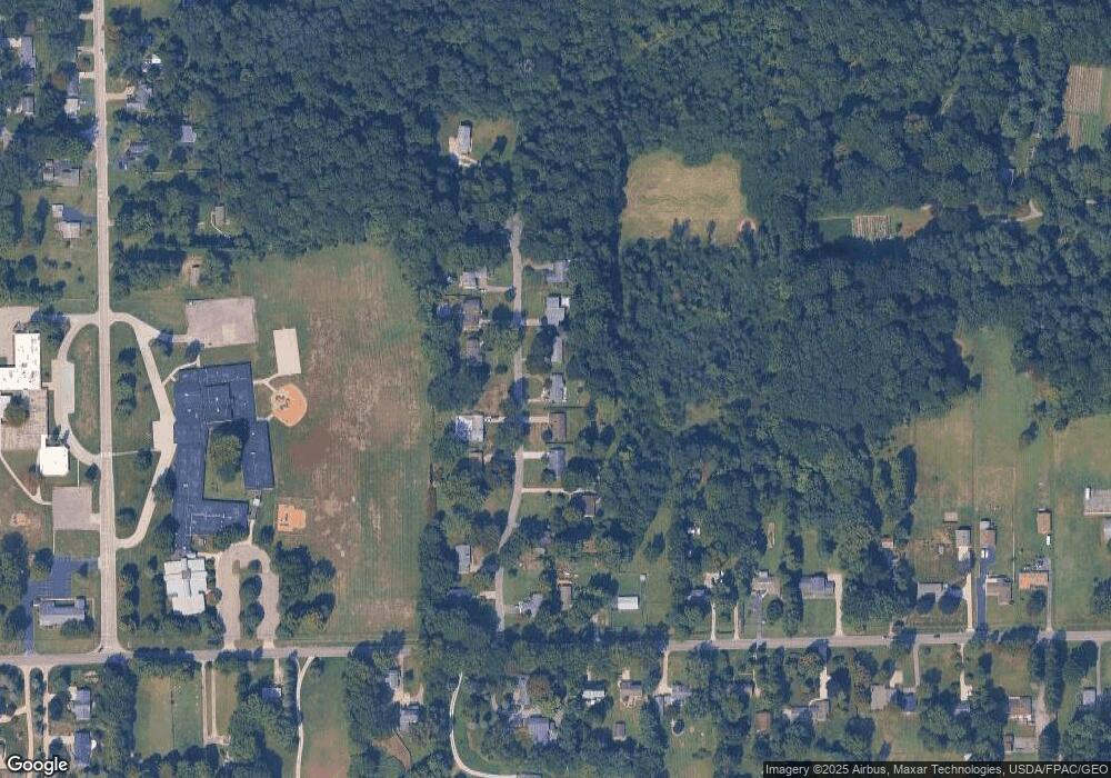
Map
Nearby Homes
- 1826 Hubbard Rd
- VL Courtyard Dr
- V/L Magnolia #13 Dr
- V/L Magnolia #12 Dr
- V/L Magnolia #14 Dr
- V/L Magnolia #15 Dr
- V/L Magnolia #19 Dr
- V/L Magnolia #16 Dr
- V/L Magnolia #17 Dr
- V/L Magnolia #18 Dr
- 6303 N Watling Way
- V/L Magnolia #20 Dr
- 1720 Red Bird Rd
- V/L Magnolia #21 Dr
- V/L Magnolia #23 Dr
- 2192 Chimney Ridge Dr
- V/L Magnolia #11 Dr
- 0 Indianola
- 0 Magnolia Dr Unit 4
- 0 Magnolia Dr Unit 3
- 1955 Whitewood Dr
- 1933 Whitewood Dr
- 1963 Whitewood Dr
- 1923 Whitewood Dr
- 1954 Whitewood Dr
- 1977 Whitewood Dr
- 1913 Whitewood Dr
- 1924 Whitewood Dr
- 1964 Whitewood Dr
- 1914 Whitewood Dr
- 1983 Whitewood Dr
- 1904 Whitewood Dr
- 1984 Whitewood Dr
- 6467 Chapel Rd
- 6455 Chapel Rd
- 6493 Chapel Rd
- 1998 Whitewood Dr
- 1896 Whitewood Dr
- 6511 Chapel Rd
- 0 Chapel Rd
Your Personal Tour Guide
Ask me questions while you tour the home.