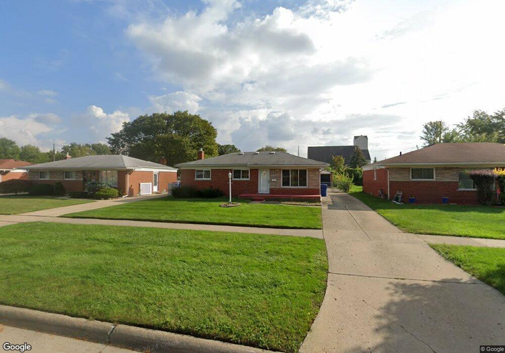
1944 Common Rd Warren, MI 48092
Northwest Warren NeighborhoodEstimated Value: $89,000 - $252,000
About This Home
This home is located at 1944 Common Rd, Warren, MI 48092 and is currently estimated at $202,006, approximately $173 per square foot. 1944 Common Rd is a home located in Macomb County with nearby schools including Lean Elementary School, Beer Middle School, and Warren Mott High School.
Ownership History
We collect this data history from publicly available records. To have your information removed, we recommend requesting removal directly through your county’s website.
Purchase Details
Purchase Details
Purchase Details
Purchase Details
Purchase Details
Home Values in the Area
Average Home Value in this Area
Purchase History
We collect this data history from publicly available records. To have your information removed, we recommend requesting removal directly through your county’s website.
| Date | Buyer | Sale Price | Title Company |
|---|---|---|---|
| $90,000 | Michigan Title Insurance Agenc | ||
| -- | Michigan Title Insurance Agenc | ||
| -- | Michigan Title Insurance Agenc | ||
| -- | Michigan Title Insurance Agenc | ||
| -- | None Listed On Document | ||
| -- | None Available |
Mortgage History
We collect this data history from publicly available records. To have your information removed, we recommend requesting removal directly through your county’s website.
| Date | Status | Borrower | Loan Amount |
|---|---|---|---|
| Previous Owner | $1,701 |
Tax History
We collect this data history from publicly available records. To have your information removed, we recommend requesting removal directly through your county’s website.
| Year | Tax Paid | Tax Assessment Tax Assessment Total Assessment is a certain percentage of the fair market value that is determined by local assessors to be the total taxable value of land and additions on the property. | Land | Improvement |
|---|---|---|---|---|
| 2026 | $3,064 | $109,640 | $0 | $0 |
| 2025 | $2,977 | $104,230 | $0 | $0 |
| 2024 | $29 | $99,570 | $0 | $0 |
| 2023 | $2,761 | $88,070 | $0 | $0 |
| 2022 | $2,668 | $76,630 | $0 | $0 |
| 2021 | $2,714 | $72,570 | $0 | $0 |
| 2020 | $2,617 | $68,850 | $0 | $0 |
| 2019 | $2,523 | $62,550 | $0 | $0 |
| 2018 | $2,563 | $64,110 | $0 | $0 |
| 2017 | $2,530 | $58,770 | $10,090 | $48,680 |
| 2016 | $2,528 | $58,770 | $0 | $0 |
| 2015 | -- | $52,370 | $0 | $0 |
| 2012 | -- | $44,020 | $0 | $0 |
Map
- 1765 Dulong Ave
- 29720 Merrick Ave
- 1925 Nicholas Ct Unit 2
- 2036 Roman Ct Unit 34
- 1579 Dulong Ave
- 2338 Marlow Dr
- 1659 Cynthia Ave
- 1405 Dulong Ave
- 29355 Westbrook Ave
- 1545 Cynthia Ave
- 30507 Austin Dr
- 1812 E Thirteen Mile Rd
- 1292 Moulin Ave
- 29538 E Nottingham Cir
- 29130 Tessmer Ct Unit 37
- 1271 Beaupre Ave
- 30885 Lee Frank Ln
- 28987 James Dr
- 1720 Westbrook Dr
- 1561 Nottingham Dr
Ask me questions while you tour the home.