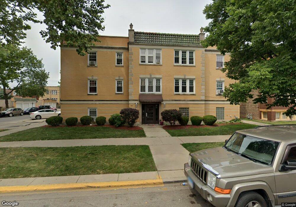
1944 Wesley Ave Unit 19441 Berwyn, IL 60402
Estimated Value: $105,000 - $159,085
2
Beds
1
Bath
1,000
Sq Ft
$139/Sq Ft
Est. Value
About This Home
This home is located at 1944 Wesley Ave Unit 19441, Berwyn, IL 60402 and is currently estimated at $138,521, approximately $138 per square foot. 1944 Wesley Ave Unit 19441 is a home located in Cook County with nearby schools including Prairie Oak School, Lincoln Middle School, and J. Sterling Morton High School West.
Ownership History
Date
Name
Owned For
Owner Type
Purchase Details
Closed on
Jul 27, 2011
Sold by
Jacobson Alan and Jacobson Erin
Bought by
Thompson Tiffany N and Thompson Nina A
Current Estimated Value
Purchase Details
Closed on
Oct 30, 2007
Sold by
1944 S Wesley Llc
Bought by
Jacobson Alan and Jacobson Erin
Home Financials for this Owner
Home Financials are based on the most recent Mortgage that was taken out on this home.
Original Mortgage
$159,900
Interest Rate
6.38%
Mortgage Type
Unknown
Create a Home Valuation Report for This Property
The Home Valuation Report is an in-depth analysis detailing your home's value as well as a comparison with similar homes in the area
Home Values in the Area
Average Home Value in this Area
Purchase History
| Date | Buyer | Sale Price | Title Company |
|---|---|---|---|
| Thompson Tiffany N | $30,500 | Alliance Title Corporation | |
| Jacobson Alan | $160,000 | Cti |
Source: Public Records
Mortgage History
| Date | Status | Borrower | Loan Amount |
|---|---|---|---|
| Previous Owner | Jacobson Alan | $159,900 |
Source: Public Records
Tax History
| Year | Tax Paid | Tax Assessment Tax Assessment Total Assessment is a certain percentage of the fair market value that is determined by local assessors to be the total taxable value of land and additions on the property. | Land | Improvement |
|---|---|---|---|---|
| 2025 | $3,845 | $11,984 | $1,135 | $10,849 |
| 2024 | $3,845 | $11,984 | $1,135 | $10,849 |
| 2023 | $3,026 | $12,232 | $1,135 | $11,097 |
| 2022 | $3,026 | $7,550 | $605 | $6,945 |
| 2021 | $2,882 | $7,550 | $605 | $6,945 |
| 2020 | $2,807 | $7,550 | $605 | $6,945 |
| 2019 | $3,970 | $9,626 | $548 | $9,078 |
| 2018 | $3,814 | $9,626 | $548 | $9,078 |
| 2017 | $3,696 | $9,626 | $548 | $9,078 |
| 2016 | $3,789 | $8,957 | $453 | $8,504 |
| 2015 | $3,718 | $8,957 | $453 | $8,504 |
| 2014 | $3,614 | $8,957 | $453 | $8,504 |
| 2013 | $2,873 | $8,010 | $453 | $7,557 |
Source: Public Records
Map
Nearby Homes
- 2125 Euclid Ave
- 1833 Oak Park Ave
- 1905 Gunderson Ave
- 2115 Kenilworth Ave
- 1821 Grove Ave
- 1629 Euclid Ave
- 1832 Elmwood Ave
- 1819 Kenilworth Ave
- 1940 Ridgeland Ave
- 1612 East Ave
- 1805 Elmwood Ave
- 2336 Scoville Ave
- 1647 Clinton Ave
- 1835 Home Ave
- 1632 Ridgeland Ave
- 2418 Oak Park Ave
- 2108 Highland Ave
- 2431 Wesley Ave
- 2310 Cuyler Ave
- 1510 Gunderson Ave
- 1944 Wesley Ave Unit 1944102
- 1944 Wesley Ave Unit 1944101
- 1944 Wesley Ave Unit 1944202
- 1944 Wesley Ave Unit 1944201
- 1944 Wesley Ave Unit 202
- 1944 Wesley Ave Unit 201
- 1944 Wesley Ave Unit 102
- 1944 Wesley Ave Unit 101
- 1944 Wesley Ave Unit 1
- 6705 21st St Unit 106
- 6705 21st St Unit 6705105
- 6705 21st St Unit 6705206
- 6705 21st St Unit 67052
- 6705 21st St Unit 6705205
- 6705 21st St Unit 6705106
- 6705 21st St Unit 2
- 6705 21st St Unit 105
- 1934 Wesley Ave
- 6703 21st St Unit 6703204
Your Personal Tour Guide
Ask me questions while you tour the home.