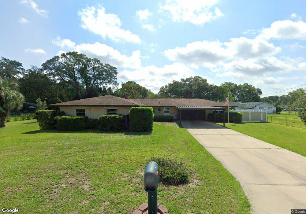
1945 Sunset Ct Deland, FL 32720
North DeLand NeighborhoodEstimated Value: $299,000 - $412,000
3
Beds
2
Baths
1,898
Sq Ft
$185/Sq Ft
Est. Value
About This Home
This home is located at 1945 Sunset Ct, Deland, FL 32720 and is currently estimated at $351,461, approximately $185 per square foot. 1945 Sunset Ct is a home located in Volusia County with nearby schools including Citrus Grove Elementary, Deland High School, and Southwestern Middle School.
Ownership History
Date
Name
Owned For
Owner Type
Purchase Details
Closed on
Mar 18, 2015
Sold by
Bludsworth Rennae
Bought by
Alldredge Stephen Eugene
Current Estimated Value
Purchase Details
Closed on
Oct 17, 2003
Sold by
Thomas Douglas E and Thomas Ruth M
Bought by
Thomas Douglas E and Thomas Ruth M
Purchase Details
Closed on
Jun 15, 1977
Bought by
Alldredge Stephen Eugene
Create a Home Valuation Report for This Property
The Home Valuation Report is an in-depth analysis detailing your home's value as well as a comparison with similar homes in the area
Home Values in the Area
Average Home Value in this Area
Purchase History
| Date | Buyer | Sale Price | Title Company |
|---|---|---|---|
| Alldredge Stephen Eugene | $120,000 | Coast Title Of West Volusia | |
| Thomas Douglas E | -- | -- | |
| Alldredge Stephen Eugene | $45,800 | -- |
Source: Public Records
Tax History
| Year | Tax Paid | Tax Assessment Tax Assessment Total Assessment is a certain percentage of the fair market value that is determined by local assessors to be the total taxable value of land and additions on the property. | Land | Improvement |
|---|---|---|---|---|
| 2026 | $1,989 | $135,486 | -- | -- |
| 2025 | $1,989 | $131,925 | -- | -- |
| 2024 | $1,877 | $128,207 | -- | -- |
| 2023 | $1,877 | $124,473 | $0 | $0 |
| 2022 | $1,808 | $120,848 | $0 | $0 |
| 2021 | $1,845 | $117,328 | $0 | $0 |
| 2020 | $1,813 | $115,708 | $0 | $0 |
| 2019 | $1,852 | $113,107 | $0 | $0 |
| 2018 | $1,828 | $110,998 | $0 | $0 |
| 2017 | $1,812 | $108,715 | $0 | $0 |
| 2016 | $1,727 | $106,479 | $0 | $0 |
| 2015 | $2,929 | $115,221 | $0 | $0 |
| 2014 | $3,727 | $150,737 | $0 | $0 |
Source: Public Records
Map
Nearby Homes
- 1142 Valley View Ln
- 2172 N Spring Garden Ave
- 1029 Glenwood Rd
- 1400 Mercers Fernery Rd
- 975 Rolling Acres Dr
- 865 Asterfield Ln
- 2720 Concord Rd
- 1233 Bramley Ln
- 1221 Bramley Ln
- 1540 Ashley Oaks Dr
- 1224 Bexley Ct
- 1540 Clapton Dr
- 2630 Burgoyne Rd
- 2836 Shenandoah Rd
- 2850 Green Mountain Rd
- 1610 Glenwood Rd
- 831 Freemans Farm Rd
- 890 Lancaster Rd
- 1664 Hazen Rd
- 1517 Clapton Dr
- 1215 Rolling Acres Dr
- 1955 Sunset Ct
- 1940 Wallace Ct
- 1175 Rolling Acres Dr
- 1948 Sunset Ct
- 1950 Wallace Ct
- 1235 Rolling Acres Dr
- 1950 Sunset Ct
- 1210 Rolling Acres Dr
- 1220 Rolling Acres Dr
- 1939 Wallace Ct
- 2025 Anchor Ave
- 2300 Glenwood Plantation Rd
- 1135 Rolling Acres Dr
- 1947 Wallace Ct
- 2031 Anchor Ave Unit 2
- 1255 Rolling Acres Dr
- 1240 Rolling Acres Dr
- 1140 Rolling Acres Dr
- 2041 Anchor Ave
Your Personal Tour Guide
Ask me questions while you tour the home.