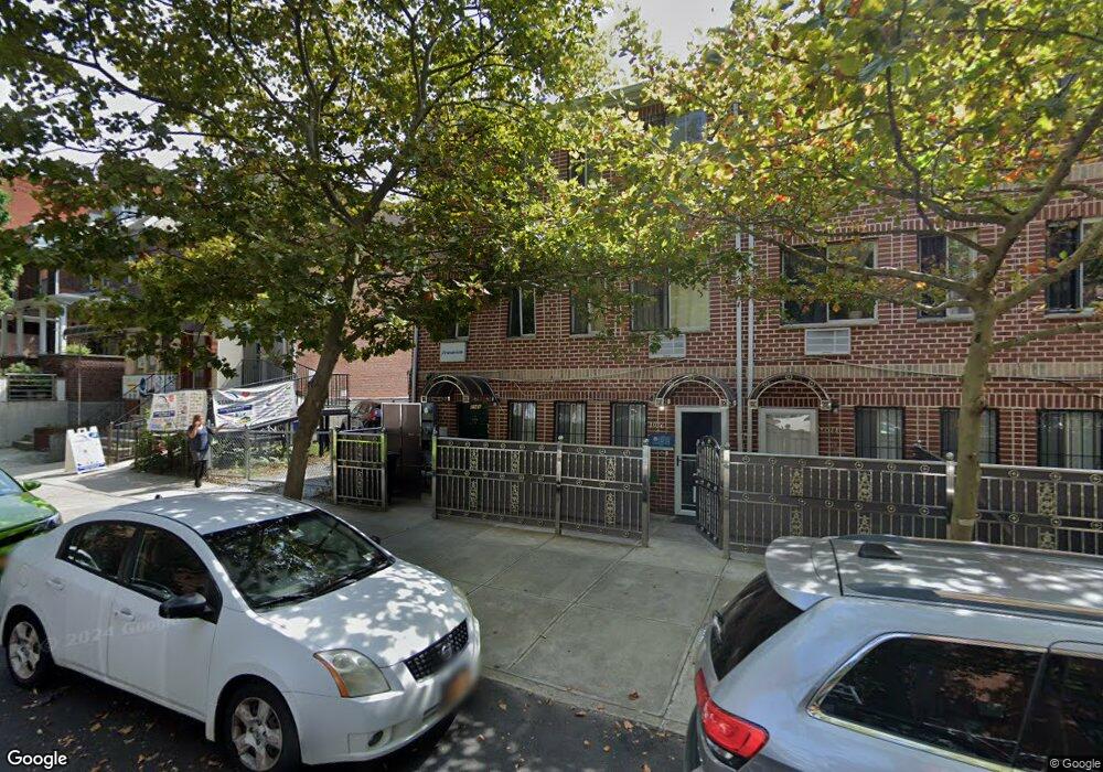
1946 Mcgraw Ave Bronx, NY 10462
Parkchester NeighborhoodEstimated Value: $1,049,000 - $1,364,000
Studio
6
Baths
3,006
Sq Ft
$404/Sq Ft
Est. Value
About This Home
This home is located at 1946 Mcgraw Ave, Bronx, NY 10462 and is currently estimated at $1,214,409, approximately $403 per square foot. 1946 Mcgraw Ave is a home located in Bronx County with nearby schools including P.S. 106 - Parkchester, M.S. 127 - The Castle Hill Middle School, and Bold Charter School.
Ownership History
Date
Name
Owned For
Owner Type
Purchase Details
Closed on
Jul 6, 2022
Sold by
Hayat Syed and Islam Risfa U
Bought by
1946 Mcgraw Ave Llc
Current Estimated Value
Purchase Details
Closed on
Dec 2, 2020
Sold by
Mcgraw 3 Llc
Bought by
Hayat Syed and Islam Risfa U
Home Financials for this Owner
Home Financials are based on the most recent Mortgage that was taken out on this home.
Original Mortgage
$696,500
Interest Rate
2.8%
Mortgage Type
New Conventional
Purchase Details
Closed on
May 7, 2009
Sold by
Mcgraw 3 Llc
Bought by
Mcgraw 3 Llc
Create a Home Valuation Report for This Property
The Home Valuation Report is an in-depth analysis detailing your home's value as well as a comparison with similar homes in the area
Home Values in the Area
Average Home Value in this Area
Purchase History
We collect this data history from publicly available records. To have your information removed, we recommend requesting removal directly through your county’s website.
| Date | Buyer | Sale Price | Title Company |
|---|---|---|---|
| 1946 Mcgraw Ave Llc | -- | -- | |
| Hayat Syed | $995,000 | -- | |
| Mcgraw 3 Llc | -- | -- |
Source: Public Records
Mortgage History
We collect this data history from publicly available records. To have your information removed, we recommend requesting removal directly through your county’s website.
| Date | Status | Borrower | Loan Amount |
|---|---|---|---|
| Previous Owner | Hayat Syed | $696,500 |
Source: Public Records
Tax History
| Year | Tax Paid | Tax Assessment Tax Assessment Total Assessment is a certain percentage of the fair market value that is determined by local assessors to be the total taxable value of land and additions on the property. | Land | Improvement |
|---|---|---|---|---|
| 2026 | $6,493 | $34,267 | $3,430 | $30,837 |
| 2025 | $6,126 | $32,328 | $3,168 | $29,160 |
| 2024 | $6,126 | $30,499 | $3,117 | $27,382 |
| 2023 | $6,194 | $30,499 | $3,412 | $27,087 |
| 2022 | $6,043 | $47,760 | $5,880 | $41,880 |
| 2021 | $6,010 | $41,820 | $5,880 | $35,940 |
| 2020 | $5,702 | $46,200 | $5,880 | $40,320 |
| 2019 | $5,317 | $43,860 | $5,880 | $37,980 |
| 2018 | $5,181 | $25,416 | $3,330 | $22,086 |
| 2017 | $5,142 | $25,224 | $3,309 | $21,915 |
| 2016 | $4,757 | $23,797 | $4,217 | $19,580 |
| 2015 | $3,318 | $22,450 | $4,342 | $18,108 |
| 2014 | $3,318 | $21,180 | $4,920 | $16,260 |
Source: Public Records
Map
Nearby Homes
- 1945 Mcgraw Ave Unit 7D
- 2012 Benedict Ave
- 1420 Parkchester Rd Unit MF
- 1922 Mcgraw Ave Unit 1H
- 1332 Metropolitan Ave Unit 2A
- 1332 Metropolitan Ave Unit 3H
- 1332 Metropolitan Ave Unit 6A
- 1332 Metropolitan Ave Unit 6K
- 1332 Metropolitan Ave Unit 4K
- 1332 Metropolitan Ave Unit 3G
- 1332 Metropolitan Ave Unit 5G
- 1925 Mcgraw Ave Unit MH
- 1521 Unionport Rd Unit 11G
- 1450 Parkchester Rd Unit 4E
- 2053 Mcgraw Ave Unit 4E
- 1314 Virginia Ave Unit 4A
- 1469 East Ave Unit 1G
- 1514 Unionport Rd Unit 4A
- 1966 Newbold Ave Unit 108
- 1966 Newbold Ave Unit 1510
- 1978 Mcgraw Ave
- 1976 Mcgraw Ave
- 1956 Mcgraw Ave
- 1957 Benedict Ave
- 1958 Mcgraw Ave Unit 1C
- 1958 Mcgraw Ave
- 1950 Mcgraw Ave
- 1955 Benedict Ave
- 1946 Mcgraw Ave
- 1946 Mcgraw Ave
- 1951 Benedict Ave
- 1963 Benedict Ave
- 1965 Benedict Ave
- 1944 Mcgraw Ave
- 1944 Mcgraw Ave
- 1949 Benedict Ave
- 1343 Pugsley Ave
- 1990 Mcgraw Ave
- 1341 Pugsley Ave
- 1339 Pugsley Ave
Your Personal Tour Guide
Ask me questions while you tour the home.