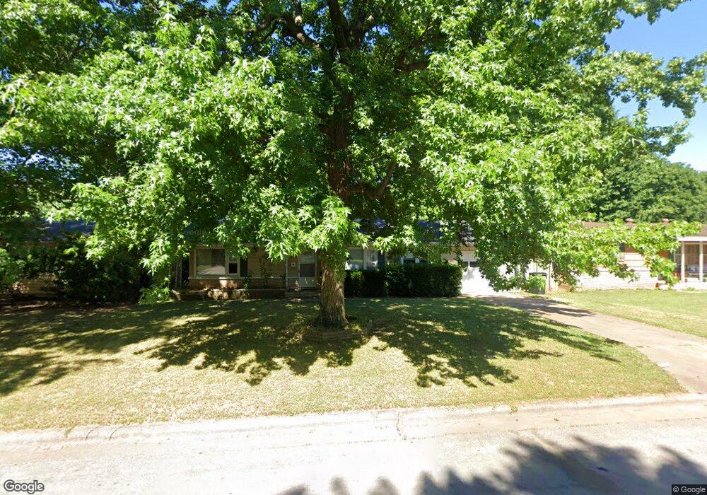
1947 S Lancaster Ave Springfield, MO 65807
Mark Twain NeighborhoodEstimated Value: $189,000 - $197,700
About This Home
This home is located at 1947 S Lancaster Ave, Springfield, MO 65807 and is currently estimated at $194,675, approximately $154 per square foot. 1947 S Lancaster Ave is a home located in Greene County with nearby schools including Sunshine Elementary School, Jarrett Middle, and Parkview High School.
Ownership History
We collect this data history from publicly available records. To have your information removed, we recommend requesting removal directly through your county’s website.
Purchase Details
Home Financials for this Owner
Home Financials are based on the most recent Mortgage that was taken out on this home.Purchase Details
Purchase Details
Home Values in the Area
Average Home Value in this Area
Purchase History
We collect this data history from publicly available records. To have your information removed, we recommend requesting removal directly through your county’s website.
| Date | Buyer | Sale Price | Title Company |
|---|---|---|---|
| -- | None Available | ||
| $466,906 | None Available | ||
| $71,050 | None Available |
Mortgage History
We collect this data history from publicly available records. To have your information removed, we recommend requesting removal directly through your county’s website.
| Date | Status | Borrower | Loan Amount |
|---|---|---|---|
| Open | $88,000 |
Tax History
We collect this data history from publicly available records. To have your information removed, we recommend requesting removal directly through your county’s website.
| Year | Tax Paid | Tax Assessment Tax Assessment Total Assessment is a certain percentage of the fair market value that is determined by local assessors to be the total taxable value of land and additions on the property. | Land | Improvement |
|---|---|---|---|---|
| 2025 | $1,180 | $23,690 | $5,700 | $17,990 |
| 2024 | $1,101 | $20,530 | $4,280 | $16,250 |
| 2023 | $1,095 | $20,530 | $4,280 | $16,250 |
| 2022 | $814 | $14,900 | $4,280 | $10,620 |
| 2021 | $814 | $14,900 | $4,280 | $10,620 |
| 2020 | $806 | $14,120 | $4,280 | $9,840 |
| 2019 | $784 | $14,120 | $4,280 | $9,840 |
| 2018 | $719 | $12,960 | $4,280 | $8,680 |
| 2017 | $712 | $12,320 | $4,280 | $8,040 |
| 2016 | $675 | $12,320 | $4,280 | $8,040 |
| 2015 | $669 | $12,320 | $4,280 | $8,040 |
| 2014 | $660 | $12,070 | $4,280 | $7,790 |
Map
- 1949 S Broadway Ave
- 1037 W Lindberg St
- 2147 S Grant Ave
- 1825 S Weaver Ave
- 1741 S Lancaster Ave
- 1755 S Montebello Ave
- 1332 W McGee St
- 901 W Portland St
- 1846 S Nettleton Ave
- 1428 W Whiteside St
- 303 E Cherokee St
- 1209 W Berkeley St
- 314 E Swiss Lane Ct
- 941 W Glenwood St
- 1834 S Jefferson Ave
- 1939 S Roanoke Ave
- 207 E Berkeley St
- 1723 S Jefferson Ave
- 500 W Crestview St
- 2012 S Roanoke Ave
- 1941 S Lancaster Ave
- 1953 S Lancaster Ave
- 1935 S Lancaster Ave
- 1946 S Missouri Ave
- 1940 S Missouri Ave
- 1952 S Missouri Ave
- 1946 S Lancaster Ave
- 1934 S Missouri Ave
- 2007 S Lancaster Ave
- 1940 S Lancaster Ave
- 1952 S Lancaster Ave
- 1929 S Lancaster Ave
- 1934 S Lancaster Ave
- 2006 S Missouri Ct
- 1928 S Missouri Ave
- 2013 S Lancaster Ave
- 1925 S Lancaster Ave
- 1928 S Lancaster Ave
- 2006 S Lancaster Ave
- 2012 S Missouri Ct
Ask me questions while you tour the home.