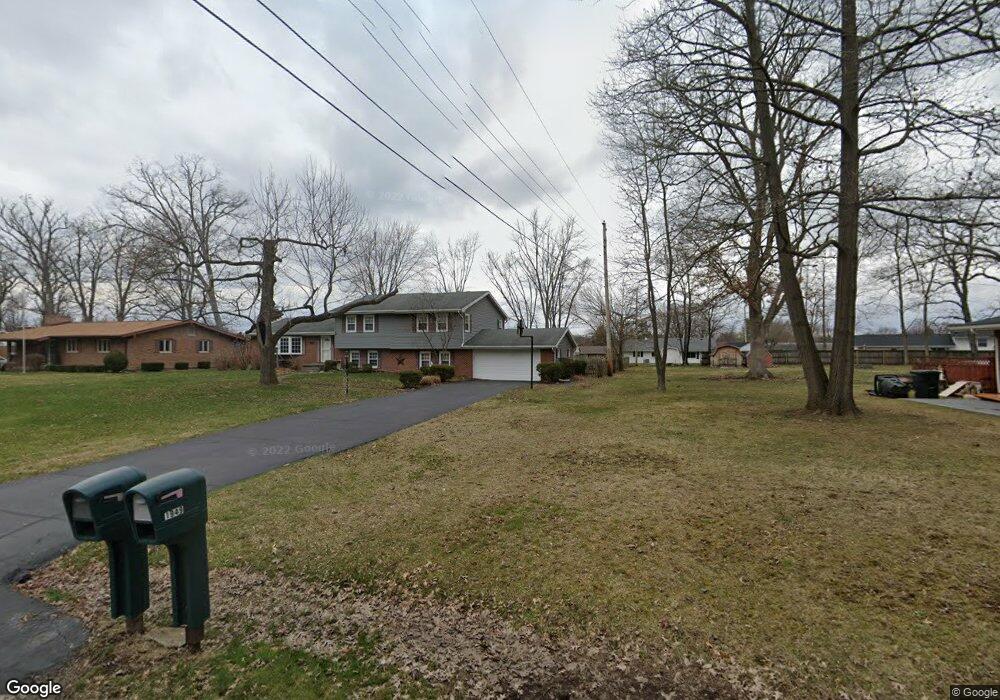
1948 Devon Dr Springfield, OH 45503
Springfield AreaEstimated Value: $269,380 - $337,000
About This Home
This home is located at 1948 Devon Dr, Springfield, OH 45503 and is currently estimated at $301,595, approximately $159 per square foot. 1948 Devon Dr is a home located in Clark County with nearby schools including Northridge Elementary School, Kenton Ridge Middle & High School, and Emmanuel Christian Academy.
Ownership History
We collect this data history from publicly available records. To have your information removed, we recommend requesting removal directly through your county’s website.
Purchase Details
Home Values in the Area
Average Home Value in this Area
Purchase History
We collect this data history from publicly available records. To have your information removed, we recommend requesting removal directly through your county’s website.
| Date | Buyer | Sale Price | Title Company |
|---|---|---|---|
| $56,500 | -- |
Tax History
We collect this data history from publicly available records. To have your information removed, we recommend requesting removal directly through your county’s website.
| Year | Tax Paid | Tax Assessment Tax Assessment Total Assessment is a certain percentage of the fair market value that is determined by local assessors to be the total taxable value of land and additions on the property. | Land | Improvement |
|---|---|---|---|---|
| 2025 | $3,029 | $84,110 | $12,690 | $71,420 |
| 2024 | $2,956 | $79,060 | $11,140 | $67,920 |
| 2023 | $2,956 | $79,060 | $11,140 | $67,920 |
| 2022 | $2,984 | $79,060 | $11,140 | $67,920 |
| 2021 | $2,229 | $53,260 | $7,960 | $45,300 |
| 2020 | $2,231 | $53,260 | $7,960 | $45,300 |
| 2019 | $2,273 | $53,260 | $7,960 | $45,300 |
| 2018 | $2,011 | $46,530 | $7,560 | $38,970 |
| 2017 | $1,723 | $50,635 | $7,557 | $43,078 |
| 2016 | $1,711 | $50,635 | $7,557 | $43,078 |
| 2015 | $1,879 | $51,034 | $7,956 | $43,078 |
| 2014 | $1,879 | $51,034 | $7,956 | $43,078 |
| 2013 | $1,835 | $51,034 | $7,956 | $43,078 |
Map
- 1918 Devon Dr
- 2529 Marinette Dr
- 2011 Providence Ave
- 3151 Vineyard St
- 2934 Haverhill St
- 3208 Tackett St
- 2943 Tarryton Ln
- 3215 Nantucket St
- 2748 Conestoga St
- 2332 Erter Dr
- 2136 E Home Rd
- 2812 Conestoga St
- 2812 Conestoga St
- 2022 Westboro Ave
- 1912 Wedgewood Cir
- 2606 Cavins Dr
- 3015 Colony Ln
- 2439 Greystone Ln
- 1628 Yorkshire Ct
- 2553 Derr Rd
- 1940 Devon Dr
- 1960 Devon Dr
- 2019 Waltham Ave
- 2021 Waltham Ave
- 2017 Waltham Ave
- 1934 Devon Dr
- 2023 Waltham Ave
- 1949 Devon Dr
- 1941 Devon Dr
- 2015 Waltham Ave
- 1931 Devon Dr
- 2551 Erter Dr
- 1926 Devon Dr
- 2013 Waltham Ave
- 2014 Waltham Ave
- 2016 Waltham Ave
- 2018 Waltham Ave
- 2024 Waltham Ave
- 2020 Waltham Ave
- 2608 Erter Dr
Ask me questions while you tour the home.