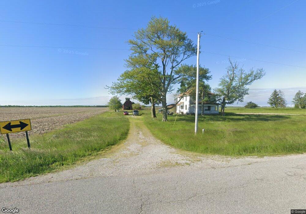
19482 Road 82 Paulding, OH 45879
Estimated Value: $166,828 - $239,000
5
Beds
2
Baths
1,920
Sq Ft
$107/Sq Ft
Est. Value
About This Home
This home is located at 19482 Road 82, Paulding, OH 45879 and is currently estimated at $206,207, approximately $107 per square foot. 19482 Road 82 is a home located in Paulding County with nearby schools including Paulding High School.
Ownership History
Date
Name
Owned For
Owner Type
Purchase Details
Closed on
Jan 26, 2007
Sold by
Speelman Christopher K and Speelman Reanne B
Bought by
Speelman Christopher K and Speelman Reanne B
Current Estimated Value
Purchase Details
Closed on
Jan 3, 1986
Bought by
Speelman Christopher K
Create a Home Valuation Report for This Property
The Home Valuation Report is an in-depth analysis detailing your home's value as well as a comparison with similar homes in the area
Purchase History
| Date | Buyer | Sale Price | Title Company |
|---|---|---|---|
| Speelman Christopher K | -- | None Available | |
| Speelman Christopher K | $27,500 | -- |
Source: Public Records
Tax History
| Year | Tax Paid | Tax Assessment Tax Assessment Total Assessment is a certain percentage of the fair market value that is determined by local assessors to be the total taxable value of land and additions on the property. | Land | Improvement |
|---|---|---|---|---|
| 2025 | $1,751 | $52,650 | $23,490 | $29,160 |
| 2024 | $1,751 | $39,870 | $17,780 | $22,090 |
| 2023 | $1,427 | $39,870 | $17,780 | $22,090 |
| 2022 | $1,392 | $39,870 | $17,780 | $22,090 |
| 2021 | $1,407 | $37,280 | $16,660 | $20,620 |
| 2020 | $1,453 | $37,280 | $16,660 | $20,620 |
| 2019 | $1,466 | $34,340 | $16,660 | $17,680 |
| 2018 | $1,355 | $34,340 | $16,660 | $17,680 |
| 2017 | $1,368 | $34,340 | $16,660 | $17,680 |
| 2016 | $1,368 | $34,340 | $16,660 | $17,680 |
| 2015 | $1,313 | $33,360 | $13,340 | $20,020 |
| 2014 | $1,306 | $33,360 | $13,340 | $20,020 |
| 2013 | $1,459 | $33,390 | $12,320 | $21,070 |
Source: Public Records
Map
Nearby Homes
- 10955 Road 171
- 201 N Main St
- 308 S Jefferson St
- 0 Road 72
- 23960 T-1018
- 225 2nd St
- 24280 Road 148
- 14364 Road 171
- 23068 State Route 613
- 742 E Perry St
- 701 E Wayne St
- 741 Tom Tim Dr
- 301 N Main St
- 200 German St
- 19873 Ohio 637
- 516 N Williams St
- 406 N Cherry St
- 13688 Kay St
- 520 W Wayne St
- 17089 Feasby Wisener Rd
Your Personal Tour Guide
Ask me questions while you tour the home.