195 Devon Way Unit 1019 Levittown, PA 19057
Estimated Value: $275,664 - $282,000
2
Beds
2
Baths
1,225
Sq Ft
$227/Sq Ft
Est. Value
About This Home
This home is located at 195 Devon Way Unit 1019, Levittown, PA 19057 and is currently estimated at $278,416, approximately $227 per square foot. 195 Devon Way Unit 1019 is a home located in Bucks County with nearby schools including Truman Senior High School, First Presbyterian Church School, and Hope Lutheran School.
Ownership History
Date
Name
Owned For
Owner Type
Purchase Details
Closed on
Feb 25, 2005
Sold by
Ladik Douglas Michael
Bought by
Scurti Nicholas A
Current Estimated Value
Home Financials for this Owner
Home Financials are based on the most recent Mortgage that was taken out on this home.
Original Mortgage
$132,000
Outstanding Balance
$67,053
Interest Rate
5.64%
Mortgage Type
Stand Alone First
Estimated Equity
$211,363
Create a Home Valuation Report for This Property
The Home Valuation Report is an in-depth analysis detailing your home's value as well as a comparison with similar homes in the area
Purchase History
We collect this data history from publicly available records. To have your information removed, we recommend requesting removal directly through your county’s website.
| Date | Buyer | Sale Price | Title Company |
|---|---|---|---|
| Scurti Nicholas A | $165,000 | Lawyers Title Ins |
Source: Public Records
Mortgage History
We collect this data history from publicly available records. To have your information removed, we recommend requesting removal directly through your county’s website.
| Date | Status | Borrower | Loan Amount |
|---|---|---|---|
| Open | Scurti Nicholas A | $132,000 |
Source: Public Records
Tax History
| Year | Tax Paid | Tax Assessment Tax Assessment Total Assessment is a certain percentage of the fair market value that is determined by local assessors to be the total taxable value of land and additions on the property. | Land | Improvement |
|---|---|---|---|---|
| 2025 | $4,486 | $16,520 | -- | $16,520 |
| 2024 | $4,486 | $16,520 | $0 | $16,520 |
| 2023 | $4,453 | $16,520 | $0 | $16,520 |
| 2022 | $4,453 | $16,520 | $0 | $16,520 |
| 2021 | $4,453 | $16,520 | $0 | $16,520 |
| 2020 | $4,453 | $16,520 | $0 | $16,520 |
| 2019 | $4,437 | $16,520 | $0 | $16,520 |
| 2018 | $4,365 | $16,520 | $0 | $16,520 |
| 2017 | $4,299 | $16,520 | $0 | $16,520 |
| 2016 | $4,299 | $16,520 | $0 | $16,520 |
| 2015 | $3,060 | $16,520 | $0 | $16,520 |
| 2014 | $3,060 | $16,520 | $0 | $16,520 |
Source: Public Records
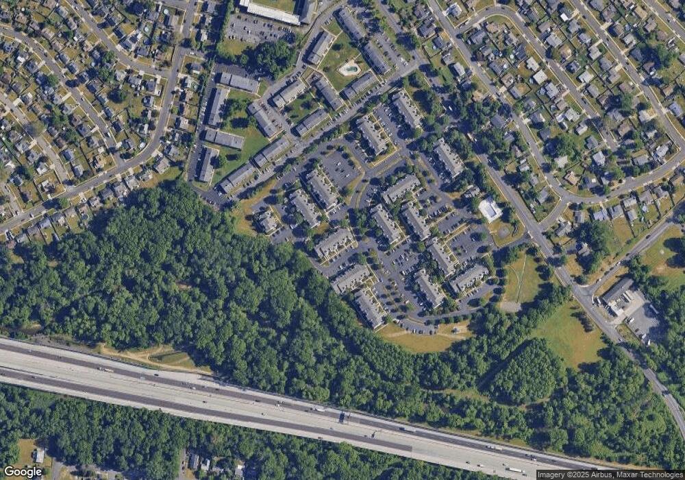
Map
Nearby Homes
- 16 Michele Ct
- 35 Beechtree Rd
- 2903 Glenrich Ave
- 6 Black Walnut Rd
- 2519 Woodlawn Dr
- 50 Micahill Rd
- 2500 Woodlawn Dr
- 2109 Bath Rd
- 2 Pumpkin Hill Rd
- 7 Indian Creek Dr
- 10 Blue Ridge Dr
- 1019 Green Ln
- 2410 Liberator St
- 2400 Airacobra St
- 7 Wildflower Rd
- 11 Whitewood Dr
- 105 Indian Creek Dr
- 0 West Ave
- 22 Inbrook Rd
- 84 Whitewood Dr
- 131 Pamela Ct Unit 707
- 129 Pamela Ct Unit 717
- 129 Pamela Ct
- 133 Pamela Ct Unit 718
- 130 Pamela Ct Unit 711
- 135 Pamela Ct Unit 719
- 128 Pamela Ct
- 127 Pamela Ct
- 126 Pamela Ct Unit 702
- 132 Pamela Ct Unit 703
- 137 Pamela Ct
- 137 Pamela Ct Unit 708
- 125 Pamela Ct
- 134 Pamela Ct Unit 712
- 124 Pamela Ct Unit 709
- 139 Pamela Ct Unit 720
- 123 Pamela Ct Unit 715
- 136 Pamela Ct Unit 713
- 122 Pamela Ct Unit 701
- 121 Pamela Ct
Your Personal Tour Guide
Ask me questions while you tour the home.