195 Malcom Ln Covington, GA 30014
Walnut Grove NeighborhoodEstimated Value: $468,000 - $608,182
Studio
--
Bath
1,796
Sq Ft
$291/Sq Ft
Est. Value
About This Home
This home is located at 195 Malcom Ln, Covington, GA 30014 and is currently estimated at $522,394, approximately $290 per square foot. 195 Malcom Ln is a home located in Walton County with nearby schools including Walnut Grove Elementary School, Youth Middle School, and Walnut Grove High School.
Ownership History
Date
Name
Owned For
Owner Type
Purchase Details
Closed on
Jul 2, 2019
Sold by
Stevenson Vickie M
Bought by
Stevenson Vickie M and Stevenson Carl William
Current Estimated Value
Purchase Details
Closed on
Jul 27, 2017
Bought by
White Raymond H
Purchase Details
Closed on
Apr 4, 2009
Sold by
Malcom Clinton N
Bought by
Stevenson Vickie M
Create a Home Valuation Report for This Property
The Home Valuation Report is an in-depth analysis detailing your home's value as well as a comparison with similar homes in the area
Home Values in the Area
Average Home Value in this Area
Purchase History
| Date | Buyer | Sale Price | Title Company |
|---|---|---|---|
| Stevenson Vickie M | -- | -- | |
| Stevenson Vickle M | -- | -- | |
| White John Charles | -- | -- | |
| White Raymond H | -- | -- | |
| Stevenson Vickie M | -- | -- |
Source: Public Records
Tax History
| Year | Tax Paid | Tax Assessment Tax Assessment Total Assessment is a certain percentage of the fair market value that is determined by local assessors to be the total taxable value of land and additions on the property. | Land | Improvement |
|---|---|---|---|---|
| 2025 | $2,672 | $206,752 | $74,000 | $132,752 |
| 2024 | $2,469 | $201,592 | $74,000 | $127,592 |
| 2023 | $1,921 | $192,832 | $70,280 | $122,552 |
| 2022 | $2,327 | $175,712 | $65,800 | $109,912 |
| 2021 | $1,982 | $147,992 | $51,160 | $96,832 |
| 2020 | $1,843 | $138,032 | $44,360 | $93,672 |
| 2019 | $3,930 | $123,672 | $38,960 | $84,712 |
| 2018 | $3,794 | $123,672 | $38,960 | $84,712 |
| 2017 | $4,229 | $122,752 | $40,040 | $82,712 |
| 2016 | $3,207 | $96,952 | $28,640 | $68,312 |
| 2015 | $1,017 | $29,472 | $28,640 | $832 |
| 2014 | $1,022 | $28,896 | $27,280 | $1,616 |
Source: Public Records
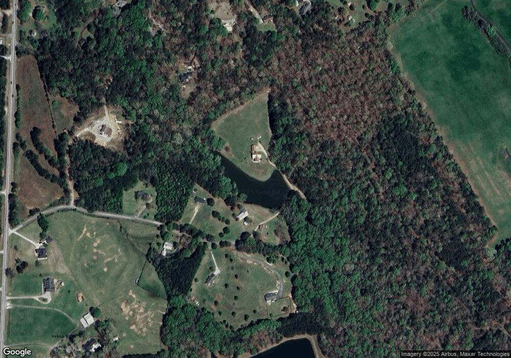
Map
Nearby Homes
- 215 Malcom Ln
- 481 Georgia Highway 81 SE
- 466 Hwy 81
- 1620 Olympic Cir
- 874 Forrester Cemetery Rd
- 49 Cannon Farm Rd SW
- 156 Pine St
- 233 Elm St
- 4539 Old Highway 138
- 764 Forrester Cemetery Rd
- 302 Mountberry Ct Unit 2
- 318 Sandy Creek Dr
- 583 Overlook Rd
- 4820 Old Highway 138
- 720 Woodland Cir
- 608 Cambridge Terrace
- 3980 Georgia 138
- 401 Cannon Farm Rd SW
- 232 Cambridge Dr
- 5280 Fletcher Dr SW
- 200 Malcom Ln
- 200 Malcom Ln
- 190 Malcom Ln
- 210 Malcom Ln
- 235 Malcom Ln
- 2091 Habersham Cir
- 437 Leone Ave
- 481 Highway 81 SW
- 3011 Habersham Cir Unit 2
- 3021 Habersham Cir
- 457 Highway 81 SW
- 2081 Habersham Cir Unit 2
- 320 Malcom Ln
- 3031 Habersham Cir Unit 2
- 2071 Habersham Cir
- 5692 Highway 81 SW
- 2420 Highway 81
- 474 Highway 81 SW
- 484 Highway 81 SW
- 494 Highway 81 SW
Your Personal Tour Guide
Ask me questions while you tour the home.