195 Rte 149 Unit 3 Barnstable, MA 02648
Marstons Mills NeighborhoodEstimated Value: $784,000 - $838,020
--
Bed
--
Bath
--
Sq Ft
--
Built
About This Home
This home is located at 195 Rte 149 Unit 3, Barnstable, MA 02648 and is currently estimated at $810,755. 195 Rte 149 Unit 3 is a home located in Barnstable County with nearby schools including West Villages Elementary School, Barnstable United Elementary School, and Barnstable Intermediate School.
Create a Home Valuation Report for This Property
The Home Valuation Report is an in-depth analysis detailing your home's value as well as a comparison with similar homes in the area
Home Values in the Area
Average Home Value in this Area
Tax History
| Year | Tax Paid | Tax Assessment Tax Assessment Total Assessment is a certain percentage of the fair market value that is determined by local assessors to be the total taxable value of land and additions on the property. | Land | Improvement |
|---|---|---|---|---|
| 2025 | $6,431 | $794,900 | $0 | $794,900 |
| 2024 | $6,524 | $835,300 | $0 | $835,300 |
| 2023 | $4,720 | $566,000 | $0 | $566,000 |
| 2022 | $4,678 | $485,300 | $0 | $485,300 |
| 2021 | $5,031 | $479,600 | $0 | $479,600 |
| 2020 | $5,142 | $469,200 | $0 | $469,200 |
| 2019 | $5,227 | $463,400 | $0 | $463,400 |
| 2018 | $3,328 | $448,600 | $0 | $448,600 |
| 2017 | $4,752 | $441,600 | $0 | $441,600 |
| 2016 | $4,813 | $441,600 | $0 | $441,600 |
| 2015 | $4,384 | $404,100 | $0 | $404,100 |
Source: Public Records
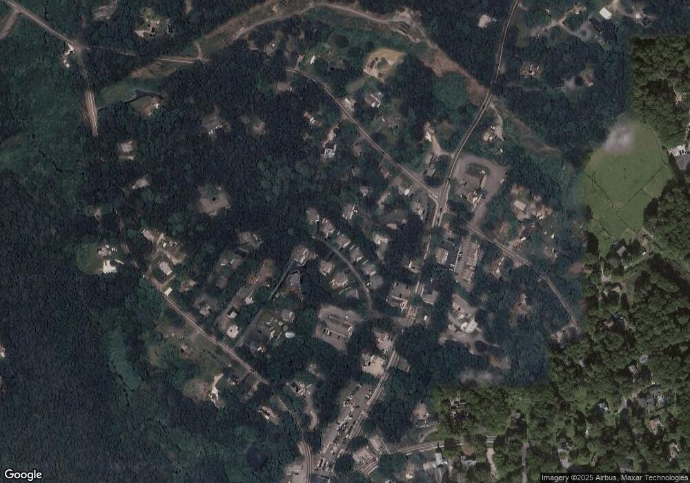
Map
Nearby Homes
- 24 Starlight Dr
- 192 Sandy Valley Rd
- 54 Frazier Way
- 8 Brigantine Ave
- 476 Baxters Neck Rd
- 50 Samoset Rd
- 50 Samoset Rd
- 280 Ice Valley Rd
- 5 Raspberry Ln
- 244 Wakeby Rd
- 240 Baxters Neck Rd
- 359 Baxter Neck Rd
- 17 Claus Way
- 34 Farm Valley Rd
- 165 Baxter Neck Rd
- 81 Osterville West Barnstable Rd
- 251 Lakeside Dr
- 153 Hickory Hill Cir
- 176 Bumps River Rd
- 55 Seth Goodspeed Way
- 195 Rte 149 Unit E
- 195 Massachusetts 149 Unit A
- 195 Massachusetts 149
- 195 Rte 149 Unit B
- 195 Rte 149 Unit G
- 195 Rte 149 Unit C
- 195 Rte 149 Unit 2
- 195 Rte 149 Unit 9
- 195 Rte 149 Unit 6
- 195 Rte 149 Unit 8
- 195 Rte 149 Unit 1
- 195 Rte 149 Unit 5
- 195 Rte 149 Unit 7
- 195 Rte 149 Unit 4
- 195 Massachusetts 149 Unit 1
- 195 Massachusetts 149 Unit E
- 195 Route 149 Unit D
- 195 Route 149 Unit B
- 195 Route 149 Unit 1
- 195 Route 149 Unit G
Your Personal Tour Guide
Ask me questions while you tour the home.