1950 Lyon Rd New Haven, MO 63068
Estimated Value: $431,000
3
Beds
2
Baths
1,680
Sq Ft
$257/Sq Ft
Est. Value
About This Home
This home is located at 1950 Lyon Rd, New Haven, MO 63068 and is currently estimated at $431,000, approximately $256 per square foot. 1950 Lyon Rd is a home located in Franklin County with nearby schools including Washington High School.
Ownership History
Date
Name
Owned For
Owner Type
Purchase Details
Closed on
Oct 9, 2015
Sold by
Vanderbilt Mortgage & Finance
Bought by
Jasper Robert and Jasper Nanette L
Current Estimated Value
Purchase Details
Closed on
Feb 11, 2015
Sold by
Holbrook Eric L and Mesger Linda K
Bought by
Vanderbilt Mtg & Finance Inc
Purchase Details
Closed on
Feb 5, 2008
Sold by
Mesger Linda K
Bought by
Holbrook Eric L and Mesger Linda K
Home Financials for this Owner
Home Financials are based on the most recent Mortgage that was taken out on this home.
Original Mortgage
$142,438
Interest Rate
5.88%
Mortgage Type
New Conventional
Purchase Details
Closed on
Jan 8, 2007
Sold by
Mesger Daniel
Bought by
Mesger Linda
Create a Home Valuation Report for This Property
The Home Valuation Report is an in-depth analysis detailing your home's value as well as a comparison with similar homes in the area
Purchase History
| Date | Buyer | Sale Price | Title Company |
|---|---|---|---|
| Jasper Robert | -- | -- | |
| Vanderbilt Mtg & Finance Inc | -- | -- | |
| Holbrook Eric L | -- | None Available | |
| Mesger Linda | -- | None Available |
Source: Public Records
Mortgage History
| Date | Status | Borrower | Loan Amount |
|---|---|---|---|
| Previous Owner | Holbrook Eric L | $142,438 |
Source: Public Records
Tax History
| Year | Tax Paid | Tax Assessment Tax Assessment Total Assessment is a certain percentage of the fair market value that is determined by local assessors to be the total taxable value of land and additions on the property. | Land | Improvement |
|---|---|---|---|---|
| 2025 | $965 | $16,971 | $0 | $0 |
| 2024 | $965 | $17,910 | $0 | $0 |
| 2023 | $1,038 | $17,910 | $0 | $0 |
| 2022 | $867 | $15,616 | $0 | $0 |
| 2021 | $864 | $15,616 | $0 | $0 |
| 2020 | $868 | $15,124 | $0 | $0 |
| 2019 | $866 | $15,124 | $0 | $0 |
| 2018 | $800 | $13,863 | $0 | $0 |
| 2017 | $800 | $13,863 | $0 | $0 |
| 2016 | $743 | $13,169 | $0 | $0 |
| 2015 | $746 | $13,169 | $0 | $0 |
| 2014 | $1,098 | $19,402 | $0 | $0 |
Source: Public Records
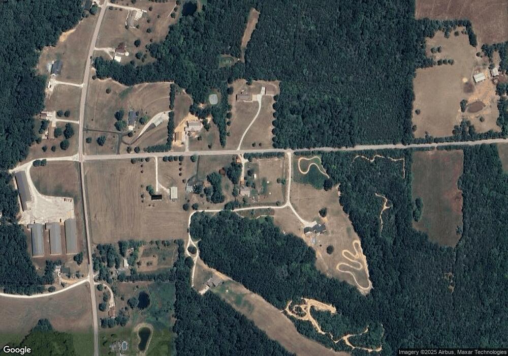
Map
Nearby Homes
- 263 Jordan Ridge Dr
- 189 Woodlawn Dr
- 0 Walnut Woods Rd
- Lot 6 Tulley Ln
- 5140 Saint Anns Rd
- 4853 Kiel Lyon Rd
- 4853 Kiel-Lyon Rd
- 526 Saint Joseph Dr
- 4958 Kiel Lyon Rd
- 0 Four Mile Rd Unit MIS26002476
- 1933 4 Mile Rd
- 1891 4 Mile Rd
- 130 Rolling Hills Dr
- 3157 Highway 185
- 219 Fawn Dr
- 7040 Highway Yy
- 421 Park Ln
- 0 Wildcat Creek Ln
- 2881 Boeuf Lutheran Rd
- Lakeside Lot 1 Hickory Creek East Dr
- 1962 Lyon Rd
- 1964 Lyon Rd
- 1967 Lyon Rd
- 134 Coyote Creek Rd
- 1951 Lyon Rd
- 4562 Highway 185
- 238 Coyote Creek Rd
- 4606 Highway 185
- 4612 Highway 185
- 4538 Highway 185
- 4632 Highway 185
- 4526 Highway 185
- 4520 Highway 185
- 4575 Highway 185
- 4563 Highway 185
- 4642 Highway 185
- 4749 Highway 185
- 4723 Highway 185
- 4537 Highway 185
- 4506 Highway 185
Your Personal Tour Guide
Ask me questions while you tour the home.