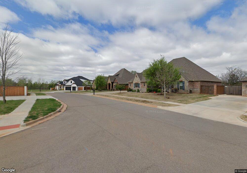
1952 Burning Tree Norman, OK 73071
Hall Park NeighborhoodEstimated Value: $576,000 - $662,017
3
Beds
4
Baths
2,691
Sq Ft
$229/Sq Ft
Est. Value
About This Home
This home is located at 1952 Burning Tree, Norman, OK 73071 and is currently estimated at $616,004, approximately $228 per square foot. 1952 Burning Tree is a home with nearby schools including Eisenhower Elementary School, Longfellow Middle School, and Norman North High School.
Ownership History
Date
Name
Owned For
Owner Type
Purchase Details
Closed on
May 11, 2018
Sold by
Leshner Glenn Michael and Leshner Kristin Kay
Bought by
Leshner Glenn M and Leshner Kristine K
Current Estimated Value
Purchase Details
Closed on
Oct 20, 2017
Sold by
Hallbrooke Development Group Llc
Bought by
Leshner Glenn Michael and Leshner Kristin Kay
Home Financials for this Owner
Home Financials are based on the most recent Mortgage that was taken out on this home.
Original Mortgage
$424,000
Outstanding Balance
$350,337
Interest Rate
3.78%
Mortgage Type
New Conventional
Estimated Equity
$265,667
Purchase Details
Closed on
Sep 26, 2016
Sold by
Hallbrooke Development Group Hp Llc
Bought by
Leshner Glenn Michael and Leshner Kristin
Home Financials for this Owner
Home Financials are based on the most recent Mortgage that was taken out on this home.
Original Mortgage
$424,000
Interest Rate
3.45%
Mortgage Type
Construction
Create a Home Valuation Report for This Property
The Home Valuation Report is an in-depth analysis detailing your home's value as well as a comparison with similar homes in the area
Home Values in the Area
Average Home Value in this Area
Purchase History
| Date | Buyer | Sale Price | Title Company |
|---|---|---|---|
| Leshner Glenn M | -- | None Availablei | |
| Leshner Glenn Michael | -- | None Available | |
| Leshner Glenn Michael | $110,000 | None Available |
Source: Public Records
Mortgage History
| Date | Status | Borrower | Loan Amount |
|---|---|---|---|
| Open | Leshner Glenn Michael | $424,000 | |
| Previous Owner | Leshner Glenn Michael | $424,000 |
Source: Public Records
Tax History
| Year | Tax Paid | Tax Assessment Tax Assessment Total Assessment is a certain percentage of the fair market value that is determined by local assessors to be the total taxable value of land and additions on the property. | Land | Improvement |
|---|---|---|---|---|
| 2025 | $9,098 | $75,810 | $10,203 | $65,607 |
| 2023 | $8,257 | $68,762 | $13,310 | $55,452 |
| 2022 | $7,923 | $68,802 | $13,310 | $55,492 |
| 2021 | $8,086 | $66,603 | $13,310 | $53,293 |
| 2020 | $7,763 | $65,347 | $13,310 | $52,037 |
| 2019 | $7,988 | $66,111 | $13,310 | $52,801 |
| 2018 | $8,044 | $68,641 | $12,972 | $55,669 |
| 2017 | $82 | $694 | $0 | $0 |
| 2016 | $84 | $694 | $694 | $0 |
| 2015 | -- | $694 | $694 | $0 |
Source: Public Records
Map
Nearby Homes
- 2017 Providence Dr
- 2013 Providence Dr
- 2008 Providence Dr
- 1918 Ithaca Dr
- 1907 Burning Tree
- 2124 Turtle Creek Dr
- 2209 Wheaton Dr
- 2036 Turtle Creek Way
- 1416 Baycharter St
- 1812 Creighton Ct
- 2106 Ingels Place
- 2303 Linfield Ct
- 1524 Rangeline Rd
- 1716 Sandalwood Dr
- 2005 Delancey Dr
- 2608 Queenston Ave
- 2961 Twin Acres Dr
- 1313 Keystone Ln
- 1408 Haverhill Cir
- 3100 Santa Rosa Ct
- 1806 Marymount Rd
- 1956 Burning Tree
- 1948 Burning Tree
- 2016 Providence Dr
- 1959 Burning Tree
- 1943 Burning Tree
- 2012 Providence Dr
- 1963 Burning Tree
- 1935 Burning Tree
- 1936 Burning Tree
- 1967 Burning Tree
- 2001 Central Pkwy
- 2005 Central Pkwy
- 1644 Central Pkwy
- 1966 Burning Tree
- 2009 Central Pkwy
- 2009 Providence Dr
- 2014 Ithaca Dr
- 2013 Central Pkwy
- 1640 Central Pkwy
Your Personal Tour Guide
Ask me questions while you tour the home.