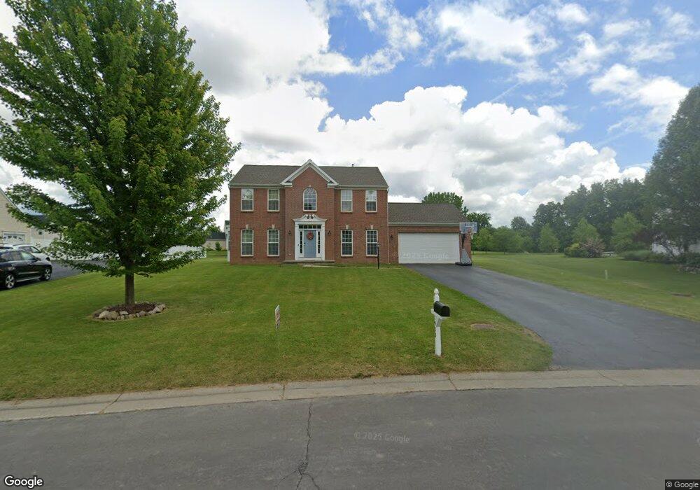
1953 Stablegate Dr Canandaigua, NY 14424
Estimated Value: $477,000 - $586,000
4
Beds
3
Baths
2,434
Sq Ft
$211/Sq Ft
Est. Value
About This Home
This home is located at 1953 Stablegate Dr, Canandaigua, NY 14424 and is currently estimated at $513,828, approximately $211 per square foot. 1953 Stablegate Dr is a home located in Ontario County with nearby schools including Canandaigua Primary-Elementary School, Canandaigua Middle School, and Canandaigua Academy.
Ownership History
Date
Name
Owned For
Owner Type
Purchase Details
Closed on
Dec 28, 2006
Sold by
Nvr Inc
Bought by
Robinson Terence
Current Estimated Value
Home Financials for this Owner
Home Financials are based on the most recent Mortgage that was taken out on this home.
Original Mortgage
$261,050
Outstanding Balance
$86,453
Interest Rate
6.29%
Estimated Equity
$427,375
Purchase Details
Closed on
Oct 16, 2006
Sold by
A & D Development Company
Bought by
Nvr Inc
Create a Home Valuation Report for This Property
The Home Valuation Report is an in-depth analysis detailing your home's value as well as a comparison with similar homes in the area
Home Values in the Area
Average Home Value in this Area
Purchase History
We collect this data history from publicly available records. To have your information removed, we recommend requesting removal directly through your county’s website.
| Date | Buyer | Sale Price | Title Company |
|---|---|---|---|
| Robinson Terence | $274,790 | James J Cummings | |
| Nvr Inc | $40,000 | Joseph Guadagnino |
Source: Public Records
Mortgage History
We collect this data history from publicly available records. To have your information removed, we recommend requesting removal directly through your county’s website.
| Date | Status | Borrower | Loan Amount |
|---|---|---|---|
| Open | Robinson Terence | $261,050 |
Source: Public Records
Tax History
| Year | Tax Paid | Tax Assessment Tax Assessment Total Assessment is a certain percentage of the fair market value that is determined by local assessors to be the total taxable value of land and additions on the property. | Land | Improvement |
|---|---|---|---|---|
| 2025 | $9,720 | $414,000 | $56,700 | $357,300 |
| 2024 | $9,720 | $414,000 | $56,700 | $357,300 |
| 2023 | $9,913 | $414,000 | $56,700 | $357,300 |
| 2022 | $8,112 | $275,000 | $46,400 | $228,600 |
| 2021 | $7,900 | $275,000 | $46,400 | $228,600 |
| 2020 | $7,157 | $275,000 | $46,400 | $228,600 |
| 2019 | $0 | $275,000 | $46,400 | $228,600 |
| 2018 | $7,084 | $275,000 | $46,400 | $228,600 |
| 2017 | $7,253 | $275,000 | $46,400 | $228,600 |
| 2016 | $7,073 | $275,000 | $46,400 | $228,600 |
| 2015 | -- | $275,000 | $46,400 | $228,600 |
| 2014 | -- | $275,000 | $46,400 | $228,600 |
Source: Public Records
Map
Nearby Homes
- 1753 Maplewood Dr
- 1766 Ackerman Way
- 1749 Ackerman Way
- 1716 Jasper Dr
- 5555 Purdy Rd
- 5555 Purdy Rd Unit 55
- 1714 Jasper Dr
- 1609 Clovertrail Dr
- 5978 Ivory Dr
- 5966 Monarch Dr
- 5972 Monarch Dr
- 5984 Ivory Dr
- 5785 Clover Meadow Ln
- 5982 Monarch Dr
- 5850 Monarch Dr
- 1579 Meadowbrook Ln
- 5764 Clover Meadow Ln
- 5765 Clover Meadow Ln
- 6119 Caleb Ct
- 6111 Caleb Ct
- 1852 Saddle Horn Dr
- 1860 Saddle Horn Dr
- 1836 Saddle Horn Dr
- 1945 Stablegate Dr
- 1937 Stablegate Dr
- 1868 Saddle Horn Dr
- 1857 Saddle Horn Dr
- 1929 Stablegate Dr
- 1828 Saddle Horn Dr
- 1876 Saddle Horn Dr
- 1841 Saddle Horn Dr
- 1873 Saddle Horn Dr
- 1820 Saddle Horn Dr
- 1921 Stablegate Dr
- 1884 Saddle Horn Dr
- 1833 Saddle Horn Dr
- 1961 Stablegate Dr
- 1889 Saddle Horn Dr
- 1825 Saddle Horn Dr
- 1812 Saddle Horn Dr
Your Personal Tour Guide
Ask me questions while you tour the home.