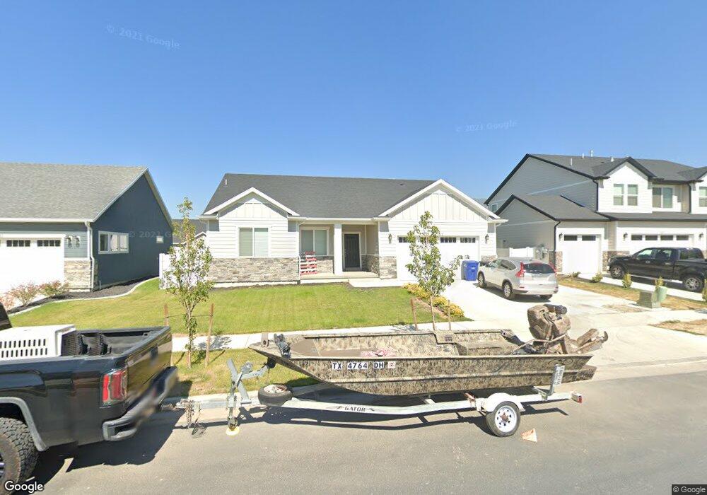
1957 E 970 N Spanish Fork, UT 84660
Estimated Value: $601,000 - $651,000
About This Home
This home is located at 1957 E 970 N, Spanish Fork, UT 84660 and is currently estimated at $631,480, approximately $375 per square foot. 1957 E 970 N is a home with nearby schools including Rees Elementary School, Mapleton Junior High School, and Maple Mountain High School.
Ownership History
We collect this data history from publicly available records. To have your information removed, we recommend requesting removal directly through your county’s website.
Purchase Details
Home Financials for this Owner
Home Financials are based on the most recent Mortgage that was taken out on this home.Purchase Details
Home Financials for this Owner
Home Financials are based on the most recent Mortgage that was taken out on this home.Home Values in the Area
Average Home Value in this Area
Purchase History
We collect this data history from publicly available records. To have your information removed, we recommend requesting removal directly through your county’s website.
| Date | Buyer | Sale Price | Title Company |
|---|---|---|---|
| -- | Bartlett Title Ins Agcy Inc | ||
| -- | Bartlett Title Ins Agcy Inc | ||
| -- | Bartlett Title Ins Agcy Inc | ||
| -- | Bartlett Title Ins Agcy Inc |
Mortgage History
We collect this data history from publicly available records. To have your information removed, we recommend requesting removal directly through your county’s website.
| Date | Status | Borrower | Loan Amount |
|---|---|---|---|
| Open | $354,200 | ||
| Closed | $350,039 |
Tax History
We collect this data history from publicly available records. To have your information removed, we recommend requesting removal directly through your county’s website.
| Year | Tax Paid | Tax Assessment Tax Assessment Total Assessment is a certain percentage of the fair market value that is determined by local assessors to be the total taxable value of land and additions on the property. | Land | Improvement |
|---|---|---|---|---|
| 2025 | $2,711 | $326,755 | -- | -- |
| 2024 | $2,711 | $279,455 | $0 | $0 |
| 2023 | $2,789 | $287,815 | $0 | $0 |
| 2022 | $2,711 | $274,340 | $0 | $0 |
| 2021 | $2,282 | $369,400 | $134,800 | $234,600 |
| 2020 | $2,264 | $356,300 | $122,500 | $233,800 |
Map
- 1085 N Coachman Ln
- 1846 Freight Wagon Ln Unit CONCRD
- 1079 N Carriage Ln Unit STANTO
- 1147 Carriage Ln
- 1682 E Ridgefield Rd
- 853 N Haywain Dr
- 1662 E Ridgefield Rd
- 1227 Firefly Dr
- 1253 Firefly Dr
- 1187 Dragonfly Ln
- 1118 N Ridge Ct
- 1282 Lily Pad Dr
- 1726 Willow Way
- 2319 E Purple Sage Dr
- 1701 Dragonfly Ln
- 2182 E 700 N
- 1327 Lily Pad Dr
- 1167 N Ridge Ct
- 1454 E Aspen Grove Dr Unit 904
- 1433 E Aspen Grove Dr
Ask me questions while you tour the home.