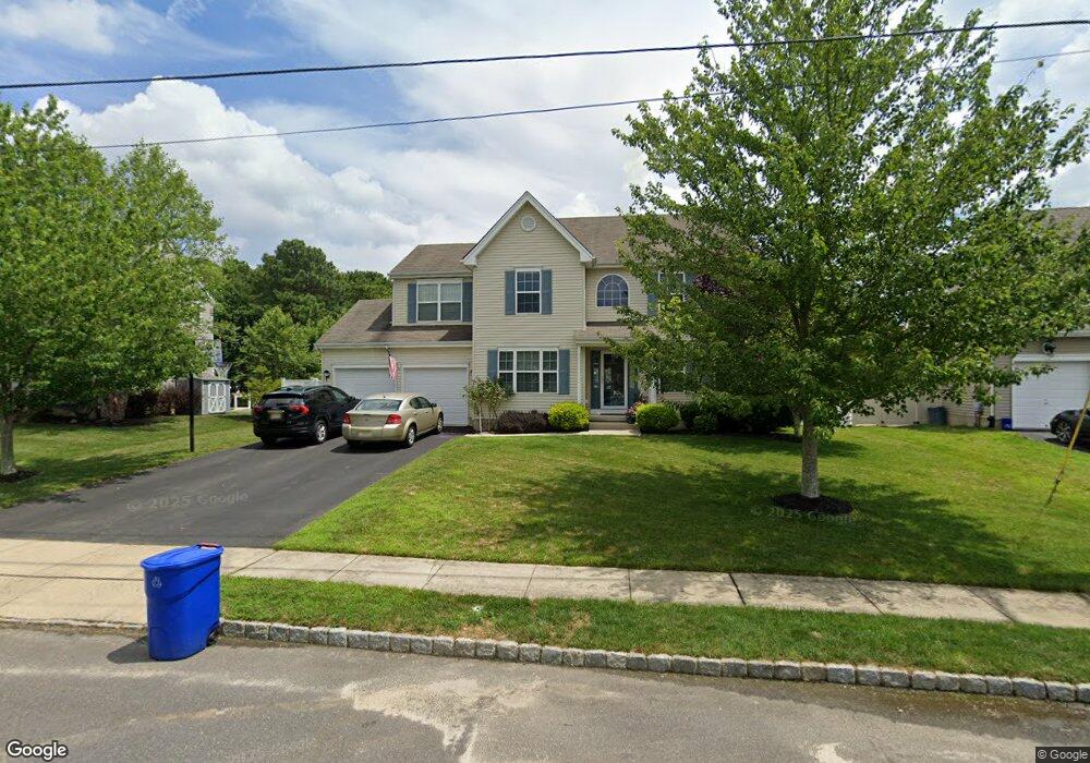
1958 Breakers Dr Barnegat, NJ 08005
Barnegat Township NeighborhoodEstimated Value: $527,000 - $598,000
4
Beds
3
Baths
1,923
Sq Ft
$300/Sq Ft
Est. Value
About This Home
This home is located at 1958 Breakers Dr, Barnegat, NJ 08005 and is currently estimated at $577,378, approximately $300 per square foot. 1958 Breakers Dr is a home with nearby schools including Barnegat High School.
Ownership History
Date
Name
Owned For
Owner Type
Purchase Details
Closed on
Sep 11, 2020
Sold by
Guider Christopher and Guider Candice
Bought by
Mason Michael and Mason Pamela
Current Estimated Value
Home Financials for this Owner
Home Financials are based on the most recent Mortgage that was taken out on this home.
Original Mortgage
$368,207
Outstanding Balance
$326,016
Interest Rate
2.9%
Mortgage Type
FHA
Estimated Equity
$251,362
Purchase Details
Closed on
Nov 12, 2010
Sold by
Walters Development Co Llc
Bought by
Guider Christopher and Guider Candice
Home Financials for this Owner
Home Financials are based on the most recent Mortgage that was taken out on this home.
Original Mortgage
$275,400
Interest Rate
4.37%
Mortgage Type
FHA
Create a Home Valuation Report for This Property
The Home Valuation Report is an in-depth analysis detailing your home's value as well as a comparison with similar homes in the area
Home Values in the Area
Average Home Value in this Area
Purchase History
| Date | Buyer | Sale Price | Title Company |
|---|---|---|---|
| Mason Michael | $375,000 | Surety Title | |
| Guider Christopher | $280,539 | Multiple |
Source: Public Records
Mortgage History
| Date | Status | Borrower | Loan Amount |
|---|---|---|---|
| Open | Mason Michael | $368,207 | |
| Previous Owner | Guider Christopher | $275,400 |
Source: Public Records
Tax History
| Year | Tax Paid | Tax Assessment Tax Assessment Total Assessment is a certain percentage of the fair market value that is determined by local assessors to be the total taxable value of land and additions on the property. | Land | Improvement |
|---|---|---|---|---|
| 2025 | $8,642 | $280,300 | $85,800 | $194,500 |
| 2024 | $8,160 | $280,300 | $85,800 | $194,500 |
| 2023 | $7,896 | $280,300 | $85,800 | $194,500 |
| 2022 | $7,896 | $280,300 | $85,800 | $194,500 |
| 2021 | $7,860 | $280,300 | $85,800 | $194,500 |
| 2020 | $7,823 | $280,300 | $85,800 | $194,500 |
| 2019 | $7,708 | $280,300 | $85,800 | $194,500 |
| 2018 | $7,649 | $280,300 | $85,800 | $194,500 |
| 2017 | $7,523 | $280,300 | $85,800 | $194,500 |
| 2016 | $7,369 | $280,300 | $85,800 | $194,500 |
| 2015 | $7,136 | $280,300 | $85,800 | $194,500 |
| 2014 | $6,954 | $280,300 | $85,800 | $194,500 |
Source: Public Records
Map
Nearby Homes
- 11 Bobstay Rd
- 9 Bobstay Rd
- 15 Bobstay Rd
- 8 Half-Hitch Rd
- 14 Half Hitch Rd
- 14 Half-Hitch Rd
- 16 Half Hitch Rd
- 16 Half-Hitch Rd
- 28 Dylan Blvd
- 187 Compass Rd
- 148 Torpedo Rd
- 248 Compass Rd
- 11 Michael Ave
- 24 Wright Rd
- 9 Michael Ave
- 1999 Breakers Dr
- 4 Minnow Ave
- 6 Jolly Roger Rd
- 4 Jolly Roger Rd
- 8 Jolly Roger Rd
- 1960 Breakers Dr
- 1960 Breakers Dr
- 5 Pilot Ct
- 1962 Breakers Dr
- 1954 Breakers Dr
- 1962 Breakers Dr
- 3 Pilot Ct
- 24 Fawcett Blvd
- 1959 Breakers Dr
- 1964 Breakers Dr
- 1964 Breakers Dr
- 1963 Breakers Dr
- 1953 Breakers Dr
- 62 Fawcett Blvd
- 60 Fawcett Blvd
- 1952 Breakers Dr
- 6 Pilot Ct
- 15 Dylan Blvd
- 1 Pilot Ct
- 17 Dylan Blvd
Your Personal Tour Guide
Ask me questions while you tour the home.