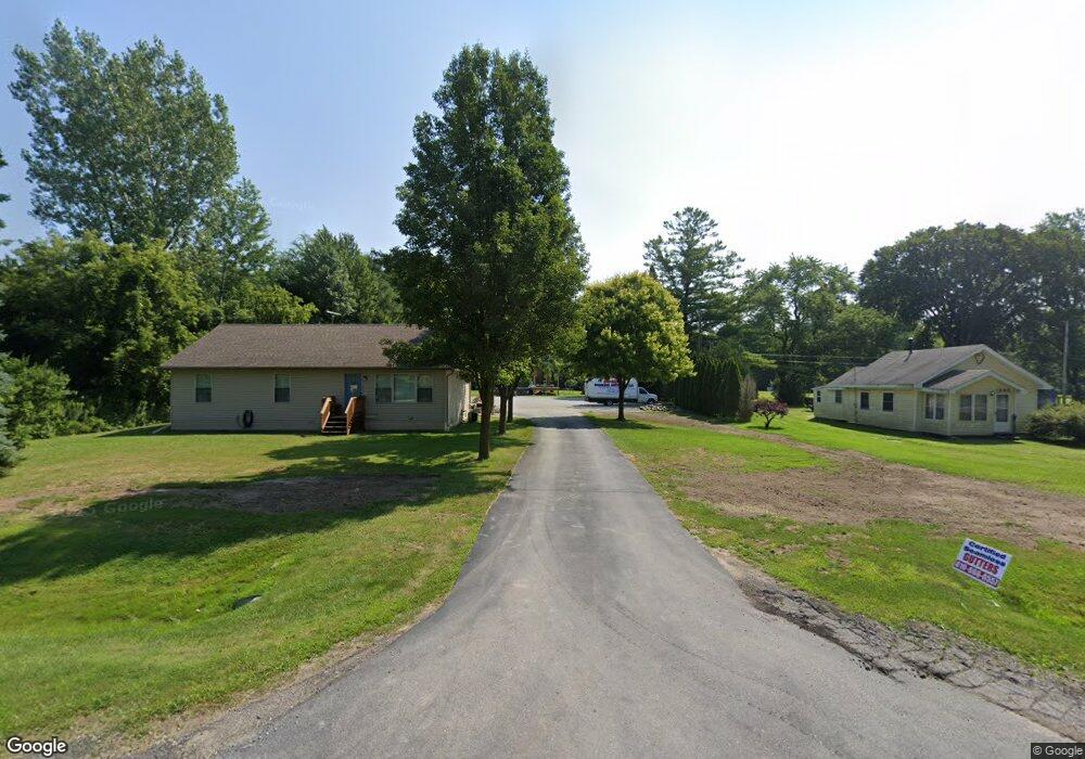
1958 Range Rd Port Huron, MI 48060
Estimated Value: $166,000 - $317,596
3
Beds
2
Baths
1,568
Sq Ft
$167/Sq Ft
Est. Value
About This Home
This home is located at 1958 Range Rd, Port Huron, MI 48060 and is currently estimated at $262,532, approximately $167 per square foot. 1958 Range Rd is a home located in St. Clair County with nearby schools including Kimball Elementary School, Central Middle School, and Port Huron High School.
Ownership History
Date
Name
Owned For
Owner Type
Purchase Details
Closed on
Mar 7, 2019
Sold by
Hohmann Misty L
Bought by
Hohmann William J C
Current Estimated Value
Home Financials for this Owner
Home Financials are based on the most recent Mortgage that was taken out on this home.
Original Mortgage
$128,050
Outstanding Balance
$112,120
Interest Rate
4.4%
Mortgage Type
New Conventional
Estimated Equity
$150,412
Purchase Details
Closed on
Dec 21, 2007
Sold by
Appelt Kenneth and Appelt Kenneth J
Bought by
Macmartin Kenneth T
Create a Home Valuation Report for This Property
The Home Valuation Report is an in-depth analysis detailing your home's value as well as a comparison with similar homes in the area
Home Values in the Area
Average Home Value in this Area
Purchase History
| Date | Buyer | Sale Price | Title Company |
|---|---|---|---|
| Hohmann William J C | -- | Liberty Title | |
| Macmartin Kenneth T | $23,000 | Devon Title Agency |
Source: Public Records
Mortgage History
| Date | Status | Borrower | Loan Amount |
|---|---|---|---|
| Open | Hohmann William J C | $128,050 |
Source: Public Records
Tax History
| Year | Tax Paid | Tax Assessment Tax Assessment Total Assessment is a certain percentage of the fair market value that is determined by local assessors to be the total taxable value of land and additions on the property. | Land | Improvement |
|---|---|---|---|---|
| 2025 | $1,821 | $160,500 | $0 | $0 |
| 2024 | $1,767 | $126,400 | $0 | $0 |
| 2023 | $1,631 | $116,500 | $0 | $0 |
| 2022 | $3,070 | $104,400 | $0 | $0 |
| 2020 | $3,072 | $98,300 | $0 | $98,300 |
| 2019 | $2,797 | $80,000 | $0 | $0 |
| 2018 | $2,948 | $80,000 | $0 | $0 |
| 2017 | $2,513 | $72,600 | $0 | $0 |
| 2016 | $1,265 | $72,600 | $0 | $0 |
| 2015 | -- | $80,500 | $13,000 | $67,500 |
| 2014 | -- | $73,700 | $13,000 | $60,700 |
| 2013 | -- | $72,500 | $0 | $0 |
Source: Public Records
Map
Nearby Homes
- 0000 Range Rd
- 1405 Range Rd
- 0 Wall Rd Unit 50185999
- 1814 Leland Rd
- 00 Range Rd
- 1786 Omar Rd
- 00 Howard Rd
- V/L Allen
- 1604 Allen Rd
- 4380 Lapeer Rd
- 0 Allen Rd Unit 20250008597
- 0 Allen Rd Unit 20250008612
- 1255 Quain Ln
- 0 Lapeer Rd Unit 50137357
- 2668 Range Rd
- 284 Rosebud Ct
- 174 Meadow Ln
- 104 Oldbrook Ln
- 5035 Burma Rd
- 153 Meadow Ln
Your Personal Tour Guide
Ask me questions while you tour the home.