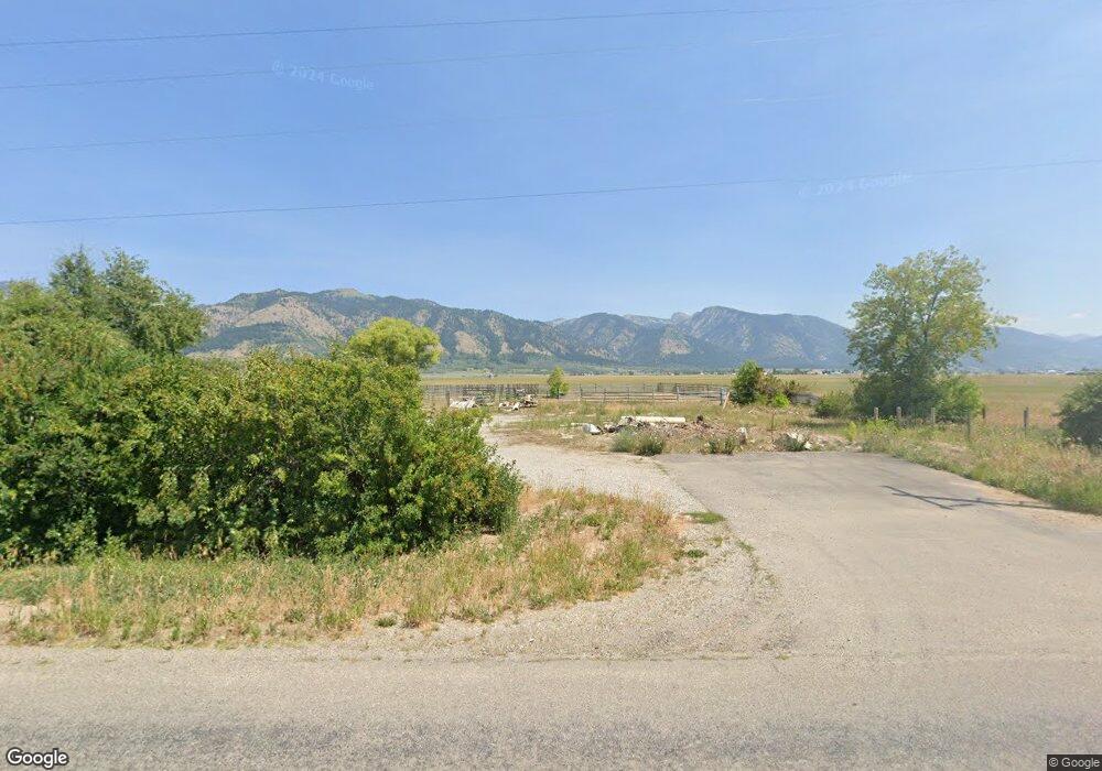
1958 S Muddy String Rd Thayne, WY 83127
Estimated Value: $372,435 - $446,000
1
Bed
1
Bath
728
Sq Ft
$569/Sq Ft
Est. Value
About This Home
This home is located at 1958 S Muddy String Rd, Thayne, WY 83127 and is currently estimated at $414,478, approximately $569 per square foot. 1958 S Muddy String Rd is a home located in Lincoln County with nearby schools including Thayne Elementary School, Etna Elementary School, and Star Valley Middle School.
Ownership History
Date
Name
Owned For
Owner Type
Purchase Details
Closed on
Jun 6, 2025
Sold by
Davidson Lindsey M and Davidson Stephen M
Bought by
Davidson Lindsey M and Davidson Y
Current Estimated Value
Purchase Details
Closed on
Jul 2, 2021
Sold by
Woodie Paul L
Bought by
Davidson Lindsey M and Davidson Stephen M
Home Financials for this Owner
Home Financials are based on the most recent Mortgage that was taken out on this home.
Original Mortgage
$255,268
Interest Rate
2.87%
Mortgage Type
Construction
Purchase Details
Closed on
Mar 27, 2009
Sold by
Long Michael J and Long Cheryl A
Bought by
Root Eugene A
Create a Home Valuation Report for This Property
The Home Valuation Report is an in-depth analysis detailing your home's value as well as a comparison with similar homes in the area
Purchase History
| Date | Buyer | Sale Price | Title Company |
|---|---|---|---|
| Davidson Lindsey M | -- | -- | |
| Davidson Lindsey M | $257,820 | Northern Title Co-Thayne | |
| Root Eugene A | -- | -- |
Source: Public Records
Mortgage History
| Date | Status | Borrower | Loan Amount |
|---|---|---|---|
| Previous Owner | Davidson Lindsey M | $255,268 |
Source: Public Records
Tax History
| Year | Tax Paid | Tax Assessment Tax Assessment Total Assessment is a certain percentage of the fair market value that is determined by local assessors to be the total taxable value of land and additions on the property. | Land | Improvement |
|---|---|---|---|---|
| 2025 | $217 | $3,431 | $2,849 | $582 |
| 2024 | $217 | $3,470 | $2,849 | $621 |
| 2023 | $215 | $3,445 | $2,849 | $596 |
| 2022 | $727 | $11,631 | $2,192 | $9,439 |
| 2021 | $540 | $8,605 | $1,623 | $6,982 |
| 2020 | $495 | $8,401 | $1,623 | $6,778 |
| 2019 | $491 | $8,193 | $1,623 | $6,570 |
| 2018 | $436 | $7,280 | $1,623 | $5,657 |
| 2017 | $411 | $6,881 | $1,476 | $5,405 |
| 2016 | -- | $6,580 | $0 | $6,580 |
| 2015 | -- | $5,718 | $0 | $5,718 |
| 2014 | -- | $6,627 | $0 | $6,627 |
Source: Public Records
Map
Nearby Homes
- 000 Alpenglow Dr
- LOT 4 Navigation Ln
- LOT 3 Navigation Ln
- LOT 1 Navigation Ln
- 7 Lost Creek Rd
- LOT 17 Compass Loop
- LOT 5 Northwinds Subdivision
- LOT 22 Compass Loop
- 0 Perkins Rd
- TBD 4 5 Acres Off of Perkins Rd
- LOT 1 Northwinds Subdivision
- 89 W West St
- LOT 51 West St
- 105 Custer Dr
- 225 Bonneville Rd
- LOT 4 Lost Creek Rd
- 1255 Lost Creek Rd
- LOTS 81&82 Buckboard Dr
- LOT 81 Buckboard Dr
- 837 Buckboard Dr
- 1958 County Road 117
- 1982 S Muddy String Rd
- 1885 S Muddy String Rd
- 2072 S Muddy String Rd
- 1792 S Muddy String Rd
- 1700 Muddy String Rd
- LOT 7 of Northwinds Subdivision
- 0 Lost Creek Rd Unit 7-739
- 0 Lost Creek Rd Unit 6-1583
- 0 Lost Creek Rd Unit B2-13032
- 0 Lost Creek Rd Unit B2-13022
- 0 Lost Creek Rd Unit B2-13012
- 0 Lost Creek Rd Unit B2-132
- 0 Lost Creek Rd Unit B2-122
- 0 Lost Creek Rd Unit B2-112
- 0 Lost Creek Rd Unit B2-102
- 0 Lost Creek Rd Unit B2-92
- 0 Lost Creek Rd Unit 13-642
- 1620 S Muddy String Rd
- 1534 S Muddy String Rd
Your Personal Tour Guide
Ask me questions while you tour the home.