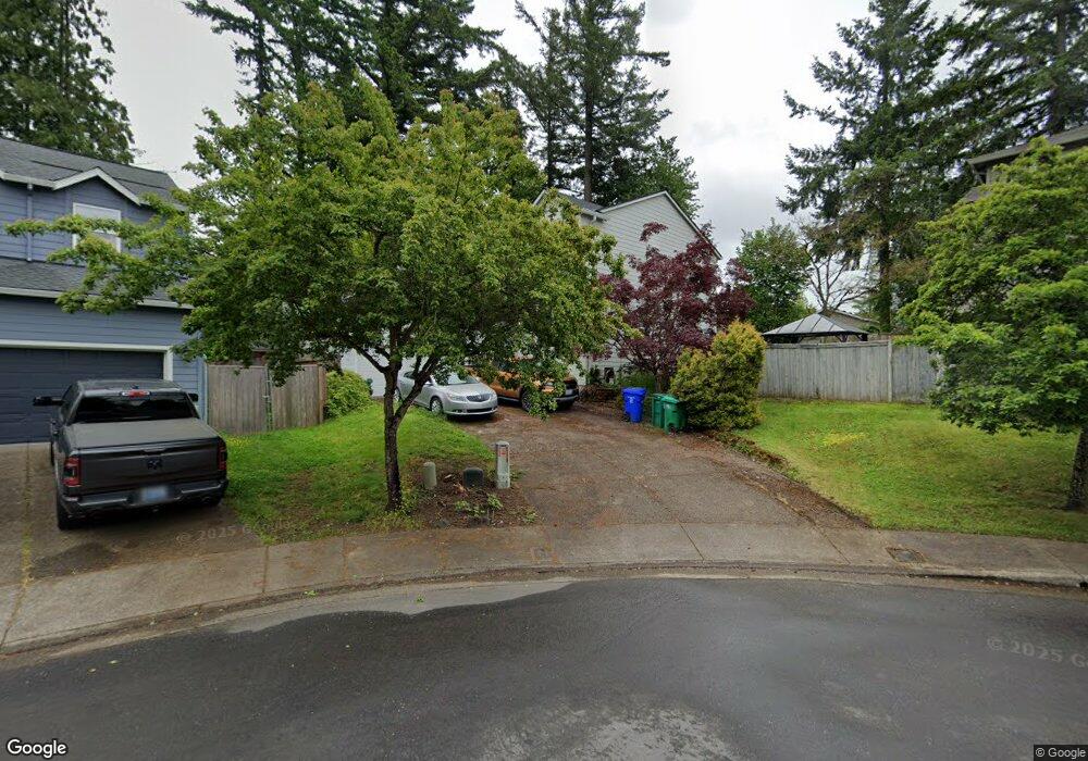
1958 SW 20th Ct Gresham, OR 97080
Gresham Butte NeighborhoodEstimated Value: $548,000 - $610,000
4
Beds
3
Baths
2,713
Sq Ft
$213/Sq Ft
Est. Value
About This Home
This home is located at 1958 SW 20th Ct, Gresham, OR 97080 and is currently estimated at $576,781, approximately $212 per square foot. 1958 SW 20th Ct is a home located in Multnomah County with nearby schools including Hollydale Elementary School, Dexter McCarty Middle School, and Gresham High School.
Ownership History
Date
Name
Owned For
Owner Type
Purchase Details
Closed on
Sep 11, 2012
Sold by
Thies Randall E
Bought by
Ulmer Jared
Current Estimated Value
Home Financials for this Owner
Home Financials are based on the most recent Mortgage that was taken out on this home.
Original Mortgage
$193,600
Outstanding Balance
$133,040
Interest Rate
3.5%
Mortgage Type
New Conventional
Estimated Equity
$443,741
Purchase Details
Closed on
May 30, 2002
Sold by
Centex Homes
Bought by
Thies Randall E and Trembath Thies Jennifer L
Home Financials for this Owner
Home Financials are based on the most recent Mortgage that was taken out on this home.
Original Mortgage
$229,730
Interest Rate
6.89%
Mortgage Type
VA
Create a Home Valuation Report for This Property
The Home Valuation Report is an in-depth analysis detailing your home's value as well as a comparison with similar homes in the area
Home Values in the Area
Average Home Value in this Area
Purchase History
We collect this data history from publicly available records. To have your information removed, we recommend requesting removal directly through your county’s website.
| Date | Buyer | Sale Price | Title Company |
|---|---|---|---|
| Ulmer Jared | $242,000 | First American | |
| Thies Randall E | $236,500 | First American Title Ins Co |
Source: Public Records
Mortgage History
We collect this data history from publicly available records. To have your information removed, we recommend requesting removal directly through your county’s website.
| Date | Status | Borrower | Loan Amount |
|---|---|---|---|
| Open | Ulmer Jared | $193,600 | |
| Previous Owner | Thies Randall E | $229,730 |
Source: Public Records
Tax History
| Year | Tax Paid | Tax Assessment Tax Assessment Total Assessment is a certain percentage of the fair market value that is determined by local assessors to be the total taxable value of land and additions on the property. | Land | Improvement |
|---|---|---|---|---|
| 2025 | $6,823 | $335,310 | -- | -- |
| 2024 | $6,532 | $325,550 | -- | -- |
| 2023 | $5,951 | $316,070 | $0 | $0 |
| 2022 | $5,785 | $306,870 | $0 | $0 |
| 2021 | $5,639 | $297,940 | $0 | $0 |
| 2020 | $5,306 | $289,270 | $0 | $0 |
| 2019 | $5,167 | $280,850 | $0 | $0 |
| 2018 | $4,927 | $272,670 | $0 | $0 |
| 2017 | $4,727 | $264,730 | $0 | $0 |
| 2016 | $4,167 | $257,020 | $0 | $0 |
| 2015 | $4,077 | $249,540 | $0 | $0 |
| 2014 | $3,978 | $242,280 | $0 | $0 |
Source: Public Records
Map
Nearby Homes
- 1944 SW 20th Ct
- 2188 SW Binford Lake Pkwy
- 1479 SW Willowbrook Ct
- 1488 SW 17th Ct
- 1488 SW 17th Ct Unit N
- 1363 SW Binford Lake Pkwy
- 1960 SW 13th Ct
- 1333 SW 19th Dr
- 2156 SW 14th Dr
- 1261 SW Binford Lake Pkwy
- 1472 SW 14th St
- 2650 SW 22nd Ct
- 2500 SW 15th St
- 1963 SW Myers Place
- 2331 SW 27th Dr
- 1278 SW 27th Ct
- 2730 SW Meyers Dr
- 2791 SW Myers Dr
- 1320 SW 31st St
- 3198 SW 16th Cir
- 1950 SW 20th Ct
- 1916 SW 20th Ct
- 1943 SW 20th Ct
- 1917 SW 20th Ct
- 1961 SW 20th Ct
- 1964 SW 20th Ct
- 1837 SW 20th Ct
- 1841 SW 20th Ct
- 1972 SW 20th Ct
- 1966 SW 19th Terrace
- 1974 SW 19th Terrace
- 1985 SW 20th Ct
- 1957 SW 19th Terrace
- 1828 SW 20th Ct
- 1984 SW 20th Ct
- 1837 SW Binford Lake Pkwy
- 1965 SW Binford Lake Pkwy
- 1819 SW 20th Ct
- 1993 SW 20th Ct
- 1920 SW Heiney Rd
Your Personal Tour Guide
Ask me questions while you tour the home.