196 Atlantic Ave Wakefield, RI 02879
Estimated Value: $1,337,000 - $2,077,000
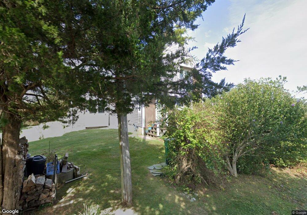
About This Home
This home is located at 196 Atlantic Ave, Wakefield, RI 02879 and is currently estimated at $1,572,955, approximately $899 per square foot. 196 Atlantic Ave is a home located in Washington County with nearby schools including South Kingstown High School.
Ownership History
We collect this data history from publicly available records. To have your information removed, we recommend requesting removal directly through your county’s website.
Purchase Details
Purchase Details
Home Values in the Area
Average Home Value in this Area
Purchase History
We collect this data history from publicly available records. To have your information removed, we recommend requesting removal directly through your county’s website.
| Date | Buyer | Sale Price | Title Company |
|---|---|---|---|
| $55,000 | -- | ||
| -- | -- | ||
| $55,000 | -- | ||
| -- | -- |
Mortgage History
We collect this data history from publicly available records. To have your information removed, we recommend requesting removal directly through your county’s website.
| Date | Status | Borrower | Loan Amount |
|---|---|---|---|
| Previous Owner | $114,000 | ||
| Previous Owner | $131,500 | ||
| Previous Owner | $52,000 |
Tax History
We collect this data history from publicly available records. To have your information removed, we recommend requesting removal directly through your county’s website.
| Year | Tax Paid | Tax Assessment Tax Assessment Total Assessment is a certain percentage of the fair market value that is determined by local assessors to be the total taxable value of land and additions on the property. | Land | Improvement |
|---|---|---|---|---|
| 2025 | $10,573 | $1,182,700 | $880,500 | $302,200 |
| 2024 | $11,314 | $1,023,900 | $739,500 | $284,400 |
| 2023 | $11,314 | $1,023,900 | $739,500 | $284,400 |
| 2022 | $11,212 | $1,023,900 | $739,500 | $284,400 |
| 2021 | $10,975 | $759,500 | $602,500 | $157,000 |
| 2020 | $10,975 | $759,500 | $602,500 | $157,000 |
| 2019 | $10,975 | $759,500 | $602,500 | $157,000 |
| 2018 | $9,576 | $610,700 | $481,900 | $128,800 |
| 2017 | $9,350 | $610,700 | $481,900 | $128,800 |
| 2016 | $9,563 | $633,700 | $504,900 | $128,800 |
| 2015 | $9,422 | $607,100 | $484,100 | $123,000 |
| 2014 | $9,398 | $607,100 | $484,100 | $123,000 |
Map
- 28 Park Ave
- 980 Matunuck Beach Rd
- 836 Matunuck Beach Rd
- 168 S Weeden Rd
- 240 Cards Pond Rd
- 14 E Pointe Ct Unit 14
- 659 Succotash Rd
- 60 Chappell Rd
- 93 Old Succotash Rd
- 30 Dory Ct
- 0 Westside Rd
- 25 Westside Rd
- 6 MacAlder St
- 6 Arbeth Rd
- 9 Arbeth Rd
- 1127 Succotash Rd
- 1140 Succotash Rd
- 1185 Succotash Rd
- 23 E Matunuck Farm Dr
- 251 Succotash Rd
- 186 Atlantic Ave
- 195 Atlantic Ave
- 180 Atlantic Ave
- 179 Park Ave
- 142 Prospect Rd
- 140 Prospect Rd
- 175 Atlantic Ave
- 174 Atlantic Ave
- 150 Prospect Rd
- 11 Cove St Unit SPARTINA
- 7 Cove St Unit SPARTINA
- 191 Lake Ave
- 191 Lake Ave Unit A
- 138 Prospect Rd
- 0 Cove St
- 159 Atlantic Ave
- 132 Prospect Rd
- 139 Prospect Rd
- 164 Community Dr
- 126 Prospect Rd
Ask me questions while you tour the home.