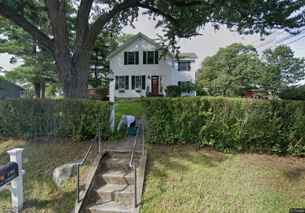
196 Bailey St Canton, MA 02021
Estimated Value: $654,490
3
Beds
2
Baths
1,333
Sq Ft
$491/Sq Ft
Est. Value
About This Home
This home is located at 196 Bailey St, Canton, MA 02021 and is currently estimated at $654,490, approximately $490 per square foot. 196 Bailey St is a home located in Norfolk County with nearby schools including Canton High School, St. John the Evangelist School, and Chabad Day School of School.
Ownership History
Date
Name
Owned For
Owner Type
Purchase Details
Closed on
Jan 24, 1989
Sold by
Withington Mary W
Bought by
Stockus Peter N
Current Estimated Value
Create a Home Valuation Report for This Property
The Home Valuation Report is an in-depth analysis detailing your home's value as well as a comparison with similar homes in the area
Home Values in the Area
Average Home Value in this Area
Purchase History
| Date | Buyer | Sale Price | Title Company |
|---|---|---|---|
| Stockus Peter N | $150,000 | -- |
Source: Public Records
Mortgage History
| Date | Status | Borrower | Loan Amount |
|---|---|---|---|
| Open | Stockus Peter N | $181,000 |
Source: Public Records
Tax History
| Year | Tax Paid | Tax Assessment Tax Assessment Total Assessment is a certain percentage of the fair market value that is determined by local assessors to be the total taxable value of land and additions on the property. | Land | Improvement |
|---|---|---|---|---|
| 2025 | -- | $510,500 | $265,200 | $245,300 |
| 2024 | -- | $491,000 | $255,000 | $236,000 |
| 2023 | $0 | $455,500 | $255,000 | $200,500 |
| 2022 | $0 | $425,300 | $242,800 | $182,500 |
| 2021 | $0 | $385,400 | $220,700 | $164,700 |
| 2020 | $0 | $367,200 | $210,200 | $157,000 |
| 2019 | $0 | $350,800 | $191,100 | $159,700 |
| 2018 | $0 | $337,500 | $183,800 | $153,700 |
| 2017 | $0 | $331,100 | $180,200 | $150,900 |
| 2016 | -- | $323,100 | $175,800 | $147,300 |
| 2015 | $6,037 | $312,500 | $170,700 | $141,800 |
Source: Public Records
Map
Nearby Homes
- 20 Sapphire Cir Unit Lot 2
- 85 Rosewood Dr Unit 28-1
- 8 Walnut Knolls
- 55 Rosewood Dr
- 468 Island St Unit 468
- 52 Rosewood Dr
- 36 Jessica Dr Unit H
- 20 Dunbar St
- 16 Meadowood Dr
- 34 Rosewood Dr Unit 34
- 6 Jessica Dr Unit E
- 60 Coppersmith Way Unit 304
- 49 Elderwood Dr Unit 49
- 109 Greenbrook Dr Unit 109
- 95 Greenbrook Dr Unit A95
- 52 Edward Dr Unit 52
- 55 Brian Dr Unit G
- 32 Elderwood Dr
- 80 Walnut St Unit 403
- 80 Walnut St Unit 311
Your Personal Tour Guide
Ask me questions while you tour the home.