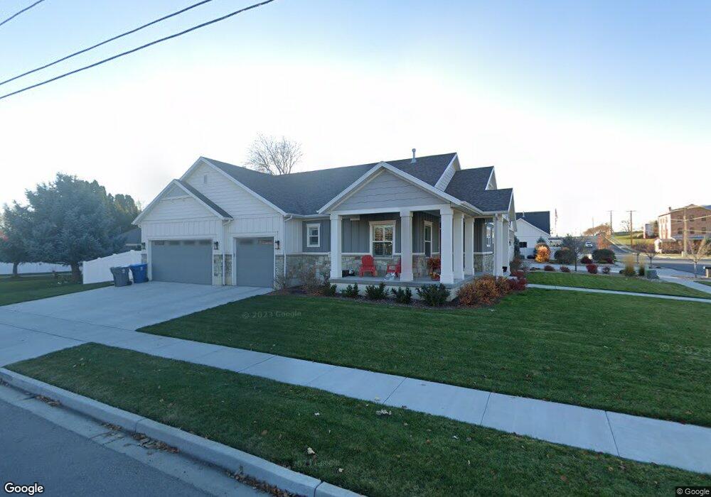
196 E 600 N American Fork, UT 84003
Estimated Value: $619,000 - $756,100
3
Beds
3
Baths
3,602
Sq Ft
$188/Sq Ft
Est. Value
About This Home
This home is located at 196 E 600 N, American Fork, UT 84003 and is currently estimated at $678,775, approximately $188 per square foot. 196 E 600 N is a home located in Utah County with nearby schools including Forbes Elementary School, American Fork Junior High School, and American Fork High School.
Ownership History
Date
Name
Owned For
Owner Type
Purchase Details
Closed on
Sep 25, 2020
Sold by
Petersen Teresa B
Bought by
Petersen Teresa B and Petersen Gary W
Current Estimated Value
Purchase Details
Closed on
Aug 5, 2019
Sold by
Aa Development Inc
Bought by
Petersen Teresa B
Home Financials for this Owner
Home Financials are based on the most recent Mortgage that was taken out on this home.
Original Mortgage
$175,000
Outstanding Balance
$153,362
Interest Rate
3.73%
Mortgage Type
New Conventional
Estimated Equity
$525,413
Create a Home Valuation Report for This Property
The Home Valuation Report is an in-depth analysis detailing your home's value as well as a comparison with similar homes in the area
Home Values in the Area
Average Home Value in this Area
Purchase History
| Date | Buyer | Sale Price | Title Company |
|---|---|---|---|
| Petersen Teresa B | -- | None Available | |
| Petersen Teresa B | -- | Backman Orem |
Source: Public Records
Mortgage History
| Date | Status | Borrower | Loan Amount |
|---|---|---|---|
| Open | Petersen Teresa B | $175,000 |
Source: Public Records
Tax History
| Year | Tax Paid | Tax Assessment Tax Assessment Total Assessment is a certain percentage of the fair market value that is determined by local assessors to be the total taxable value of land and additions on the property. | Land | Improvement |
|---|---|---|---|---|
| 2025 | $3,040 | $364,540 | -- | -- |
| 2024 | $3,040 | $337,810 | $0 | $0 |
| 2023 | $2,895 | $341,055 | $0 | $0 |
| 2022 | $2,975 | $345,895 | $0 | $0 |
| 2021 | $2,565 | $465,700 | $137,100 | $328,600 |
| 2020 | $2,407 | $423,900 | $122,400 | $301,500 |
| 2019 | $2,120 | $386,100 | $115,400 | $270,700 |
| 2018 | $1,096 | $105,000 | $105,000 | $0 |
| 2017 | $1,080 | $101,500 | $0 | $0 |
| 2016 | $858 | $74,900 | $0 | $0 |
| 2015 | $904 | $74,900 | $0 | $0 |
Source: Public Records
Map
Nearby Homes
- 807 N 150 E
- 783 N 150 E
- 793 N 150 E
- 369 E 500 N
- 691 N 400 E Unit A & B Units
- 691 N 400 E Unit A & B
- 691 N 400 E
- 780 N 100 E
- 1082 N 350 E
- 822 N 150 E Unit 5
- 183 E 760 St N
- 621 N 100 W
- 410 N 500 E
- 532 E 500 N
- 4650 W Magnolia Drive Dr Unit 8
- 10238 N 6530 W Unit 15
- 941 E S Ellens St Lot 3 St N Unit LOT 3
- 5277 N 11200 W Unit 4
- 5284 N 11200 W Unit 3
- 925 E Ellens St E Unit LOT 2
Your Personal Tour Guide
Ask me questions while you tour the home.