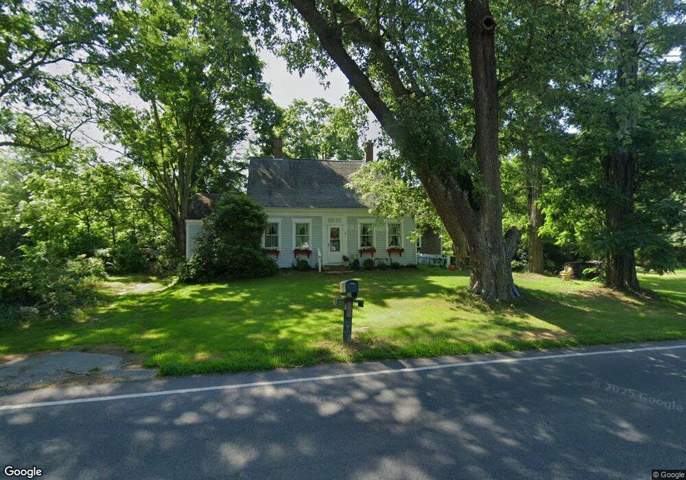
196 Perry Hill Rd Acushnet, MA 02743
Upper Acushnet NeighborhoodEstimated Value: $565,985 - $807,000
5
Beds
2
Baths
2,755
Sq Ft
$255/Sq Ft
Est. Value
About This Home
This home is located at 196 Perry Hill Rd, Acushnet, MA 02743 and is currently estimated at $701,496, approximately $254 per square foot. 196 Perry Hill Rd is a home located in Bristol County with nearby schools including Acushnet Elementary School, Albert F Ford Middle School, and Alma Del Mar Charter School.
Ownership History
Date
Name
Owned For
Owner Type
Purchase Details
Closed on
Jun 2, 2022
Sold by
Thomas Michele M
Bought by
Thomas Michael M
Current Estimated Value
Create a Home Valuation Report for This Property
The Home Valuation Report is an in-depth analysis detailing your home's value as well as a comparison with similar homes in the area
Home Values in the Area
Average Home Value in this Area
Purchase History
| Date | Buyer | Sale Price | Title Company |
|---|---|---|---|
| Thomas Michael M | -- | None Available |
Source: Public Records
Tax History
| Year | Tax Paid | Tax Assessment Tax Assessment Total Assessment is a certain percentage of the fair market value that is determined by local assessors to be the total taxable value of land and additions on the property. | Land | Improvement |
|---|---|---|---|---|
| 2025 | $55 | $511,100 | $151,100 | $360,000 |
| 2024 | $5,144 | $450,800 | $143,200 | $307,600 |
| 2023 | $5,082 | $423,500 | $129,900 | $293,600 |
| 2022 | $4,717 | $355,500 | $122,000 | $233,500 |
| 2021 | $4,651 | $336,300 | $122,000 | $214,300 |
| 2020 | $4,577 | $328,300 | $114,000 | $214,300 |
| 2019 | $0 | $311,100 | $108,700 | $202,400 |
| 2018 | -- | $295,000 | $108,700 | $186,300 |
| 2017 | -- | $287,000 | $108,700 | $178,300 |
| 2016 | -- | $267,100 | $108,700 | $158,400 |
| 2015 | $3,747 | $267,100 | $108,700 | $158,400 |
Source: Public Records
Map
Nearby Homes
- 489 Main St
- 0 Land Way Unit 73479153
- 191 Hathaway Rd
- 363 Main St
- 0 Rounseville Rd
- 31 Hathaway Rd
- 11 Bayberry Ln
- 7 Laura Ln
- 23 Oliveira Ave
- 0 Hathaway Rd Unit 73469544
- 17 Diane St
- 79 Park Dr
- 11 Boylston St
- 203 S Main St
- 218 Main St
- 14 Hayes St Unit 1
- 12 Hayes St Unit 1
- 23 Coury Dr
- 6 Middlefield Place
- 54 Slocum St
- 11 Gammons Rd
- 195 Perry Hill Rd
- 7 Gammons Rd
- 19 Gammons Rd
- 192 Perry Hill Rd
- 205 Perry Hill Rd
- 23 Gammons Rd
- 194 Perry Hill Rd
- 4 Gammons Rd
- 16 Gammons Rd
- 181 Perry Hill Rd
- 181 Perry Hill Rd Unit n/a
- 2 Gammons Rd
- 29 Gammons Rd
- 0 Gammons Rd
- 00 Gammons Rd
- 0 Gammons Rd Unit 71722870
- 20 Gammons Rd
- 180 Perry Hill Rd
- 33 Gammons Rd
Your Personal Tour Guide
Ask me questions while you tour the home.