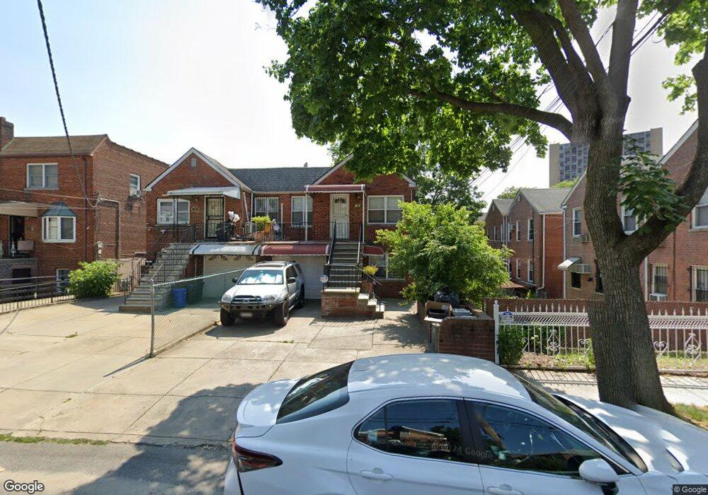
1961 Bogart Ave Bronx, NY 10462
Morris Park NeighborhoodEstimated Value: $771,000 - $960,000
Studio
--
Bath
1,922
Sq Ft
$443/Sq Ft
Est. Value
About This Home
This home is located at 1961 Bogart Ave, Bronx, NY 10462 and is currently estimated at $850,682, approximately $442 per square foot. 1961 Bogart Ave is a home located in Bronx County with nearby schools including P.S. 083 The Donald Hertz School, Icahn Charter School 2, and Bronx Excellence 2.
Ownership History
Date
Name
Owned For
Owner Type
Purchase Details
Closed on
Aug 20, 2008
Sold by
Hopper Elaine and Hopper Linda
Bought by
Kandic Samir and Sinanaj Hajrije
Current Estimated Value
Home Financials for this Owner
Home Financials are based on the most recent Mortgage that was taken out on this home.
Original Mortgage
$399,000
Outstanding Balance
$258,725
Interest Rate
6.69%
Mortgage Type
Purchase Money Mortgage
Estimated Equity
$591,957
Purchase Details
Closed on
May 12, 1998
Sold by
Brady Joseph
Bought by
Hopper Linda and Hopper Elaine
Home Financials for this Owner
Home Financials are based on the most recent Mortgage that was taken out on this home.
Original Mortgage
$188,000
Interest Rate
6.92%
Mortgage Type
Purchase Money Mortgage
Create a Home Valuation Report for This Property
The Home Valuation Report is an in-depth analysis detailing your home's value as well as a comparison with similar homes in the area
Home Values in the Area
Average Home Value in this Area
Purchase History
We collect this data history from publicly available records. To have your information removed, we recommend requesting removal directly through your county’s website.
| Date | Buyer | Sale Price | Title Company |
|---|---|---|---|
| Kandic Samir | $499,000 | -- | |
| Hopper Linda | $235,000 | Commonwealth Land Title Ins |
Source: Public Records
Mortgage History
We collect this data history from publicly available records. To have your information removed, we recommend requesting removal directly through your county’s website.
| Date | Status | Borrower | Loan Amount |
|---|---|---|---|
| Open | Kandic Samir | $399,000 | |
| Previous Owner | Hopper Linda | $188,000 |
Source: Public Records
Tax History
| Year | Tax Paid | Tax Assessment Tax Assessment Total Assessment is a certain percentage of the fair market value that is determined by local assessors to be the total taxable value of land and additions on the property. | Land | Improvement |
|---|---|---|---|---|
| 2026 | $8,833 | $43,978 | $9,936 | $34,042 |
| 2025 | $8,556 | $43,978 | $9,960 | $34,018 |
| 2024 | $8,556 | $43,038 | $11,093 | $31,945 |
| 2023 | $8,246 | $40,602 | $9,370 | $31,232 |
| 2022 | $7,647 | $44,580 | $10,980 | $33,600 |
| 2021 | $7,713 | $39,060 | $10,980 | $28,080 |
| 2020 | $7,757 | $41,160 | $10,980 | $30,180 |
| 2019 | $7,503 | $36,720 | $10,980 | $25,740 |
| 2018 | $6,897 | $33,835 | $9,026 | $24,809 |
| 2017 | $6,507 | $31,920 | $10,980 | $20,940 |
| 2016 | $6,105 | $30,540 | $10,980 | $19,560 |
| 2015 | $3,461 | $31,200 | $12,180 | $19,020 |
| 2014 | $3,461 | $30,286 | $11,239 | $19,047 |
Source: Public Records
Map
Nearby Homes
- 1957 Bogart Ave
- 2004 Bogart Ave
- 1925 Radcliff Ave
- 986 Neill Ave
- 928 Rhinelander Ave
- 2042 Bogart Ave
- 2037 Radcliff Ave
- 1945 Paulding Ave
- 1916 Barnes Ave
- 1923 Barnes Ave
- 1871 Matthews Ave
- 1843 Muliner Ave
- 2080 Matthews Ave
- 2090 Barnes Ave Unit 3G
- 2090 Barnes Ave Unit 4D
- 2090 Barnes Ave Unit 2H
- 2080 Barnes Ave Unit 5B
- 2080 Barnes Ave Unit 4A
- 2080 Barnes Ave Unit 4C
- 2080 Barnes Ave Unit 4-E
- 1959 Bogart Ave
- 1955 Bogart Ave
- 1955 Bogart Ave Unit 2
- 1953 Bogart Ave
- 1951 Bogart Ave
- 1956 Fowler Ave
- 1958 Fowler Ave
- 1949 Bogart Ave
- 1954 Fowler Ave
- 1960 Fowler Ave
- 936 Neill Ave
- 1950 Fowler Ave
- 934 Neill Ave
- 932 Neill Ave
- 938 Neill Ave
- 1948 Fowler Ave
- 930 Neill Ave
- 928 Neill Ave
- 1946 Fowler Ave
- 1945 Bogart Ave
Your Personal Tour Guide
Ask me questions while you tour the home.