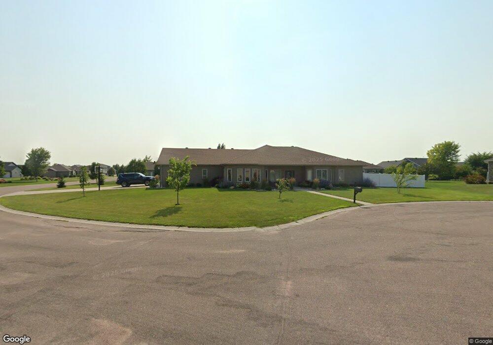
1961 Walnut Ct Wahpeton, ND 58075
Estimated Value: $440,000 - $679,000
4
Beds
3
Baths
3,003
Sq Ft
$178/Sq Ft
Est. Value
About This Home
This home is located at 1961 Walnut Ct, Wahpeton, ND 58075 and is currently estimated at $534,897, approximately $178 per square foot. 1961 Walnut Ct is a home located in Richland County with nearby schools including Zimmerman Elementary School, Wahpeton Elementary School, and Wahpeton Middle School.
Ownership History
Date
Name
Owned For
Owner Type
Purchase Details
Closed on
Jun 19, 2020
Sold by
Reilly Karen J
Bought by
Cook Brandon D and Cook Kayla J
Current Estimated Value
Home Financials for this Owner
Home Financials are based on the most recent Mortgage that was taken out on this home.
Original Mortgage
$264,000
Outstanding Balance
$234,016
Interest Rate
3.2%
Mortgage Type
New Conventional
Estimated Equity
$300,881
Purchase Details
Closed on
Apr 22, 2019
Sold by
Reilly Daniel P
Bought by
Reilly Karen J
Create a Home Valuation Report for This Property
The Home Valuation Report is an in-depth analysis detailing your home's value as well as a comparison with similar homes in the area
Home Values in the Area
Average Home Value in this Area
Purchase History
| Date | Buyer | Sale Price | Title Company |
|---|---|---|---|
| Cook Brandon D | $330,000 | Innovative Abstract & Ttl Co | |
| Reilly Karen J | -- | None Available |
Source: Public Records
Mortgage History
| Date | Status | Borrower | Loan Amount |
|---|---|---|---|
| Open | Cook Brandon D | $264,000 |
Source: Public Records
Tax History
| Year | Tax Paid | Tax Assessment Tax Assessment Total Assessment is a certain percentage of the fair market value that is determined by local assessors to be the total taxable value of land and additions on the property. | Land | Improvement |
|---|---|---|---|---|
| 2024 | $7,726 | $245,550 | $28,100 | $217,450 |
| 2023 | $7,653 | $239,950 | $22,500 | $217,450 |
| 2022 | $7,276 | $230,700 | $22,500 | $208,200 |
| 2021 | $6,972 | $211,650 | $22,500 | $189,150 |
| 2020 | $8,090 | $200,950 | $22,500 | $178,450 |
| 2019 | $7,896 | $192,450 | $22,500 | $169,950 |
| 2018 | $7,926 | $188,700 | $22,500 | $166,200 |
| 2017 | $7,927 | $182,300 | $22,500 | $159,800 |
| 2016 | $5,488 | $175,300 | $22,500 | $152,800 |
| 2015 | -- | $15,552 | $0 | $0 |
| 2014 | -- | $8,802 | $0 | $0 |
| 2013 | -- | $8,802 | $0 | $0 |
Source: Public Records
Map
Nearby Homes
- 1967 Walnut Ct
- 1962 Woodland Dr
- 1955 Walnut Ct
- 1964 Woodland Dr
- 1922 Walnut Ct
- 205 7th St N
- 1930 Walnut Ct
- 1940 Walnut Ct
- 1934 Walnut Ct
- 1910 Woodland Dr
- 1961 Woodland Dr
- 1498 Maple Ct
- 1965 Woodland Dr
- 1935 12th St N
- 1927 12th St N
- 1919 12th St N
- 1911 Woodland Dr
- 1911 12th St N
- 2000 Woodland Dr
- 1291 Linden Ct
Your Personal Tour Guide
Ask me questions while you tour the home.