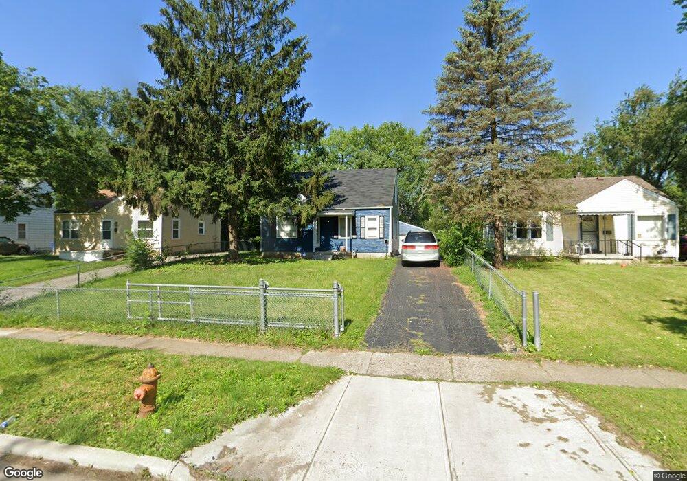
1965 Brentnell Ave Columbus, OH 43219
Woodland Holt NeighborhoodEstimated Value: $136,000 - $159,000
About This Home
This home is located at 1965 Brentnell Ave, Columbus, OH 43219 and is currently estimated at $147,015, approximately $137 per square foot. 1965 Brentnell Ave is a home located in Franklin County with nearby schools including South Mifflin Stem Academy (K-6), Linden-Mckinley Stem School On Arcadia, and Graham Elementary and Middle School.
Ownership History
We collect this data history from publicly available records. To have your information removed, we recommend requesting removal directly through your county’s website.
Purchase Details
Purchase Details
Home Financials for this Owner
Home Financials are based on the most recent Mortgage that was taken out on this home.Purchase Details
Home Financials for this Owner
Home Financials are based on the most recent Mortgage that was taken out on this home.Purchase Details
Purchase Details
Home Values in the Area
Average Home Value in this Area
Purchase History
We collect this data history from publicly available records. To have your information removed, we recommend requesting removal directly through your county’s website.
| Date | Buyer | Sale Price | Title Company |
|---|---|---|---|
| -- | Cornerstone Title | ||
| $37,000 | Total Title Svcs Llc | ||
| $20,500 | Total Title Services | ||
| -- | None Available | ||
| -- | Attorney | ||
| $12,700 | -- |
Mortgage History
We collect this data history from publicly available records. To have your information removed, we recommend requesting removal directly through your county’s website.
| Date | Status | Borrower | Loan Amount |
|---|---|---|---|
| Previous Owner | $24,000 |
Tax History
We collect this data history from publicly available records. To have your information removed, we recommend requesting removal directly through your county’s website.
| Year | Tax Paid | Tax Assessment Tax Assessment Total Assessment is a certain percentage of the fair market value that is determined by local assessors to be the total taxable value of land and additions on the property. | Land | Improvement |
|---|---|---|---|---|
| 2025 | $1,431 | $31,230 | $8,370 | $22,860 |
| 2024 | $1,431 | $31,230 | $8,370 | $22,860 |
| 2023 | $1,413 | $31,230 | $8,370 | $22,860 |
| 2022 | $849 | $15,970 | $2,420 | $13,550 |
| 2021 | $850 | $15,970 | $2,420 | $13,550 |
| 2020 | $1,001 | $15,970 | $2,420 | $13,550 |
| 2019 | $940 | $12,710 | $1,960 | $10,750 |
| 2018 | $330 | $12,710 | $1,960 | $10,750 |
| 2017 | $397 | $12,710 | $1,960 | $10,750 |
| 2016 | $427 | $15,190 | $2,730 | $12,460 |
| 2015 | $421 | $15,190 | $2,730 | $12,460 |
| 2014 | $388 | $15,190 | $2,730 | $12,460 |
| 2013 | $242 | $16,870 | $3,045 | $13,825 |
Map
- 2208 Sagamore Rd
- 2181 Middlehurst Dr
- 2054 Jermain Dr
- 0 Danby Dr
- 1771 Marston Rd
- 2180 Hanna Dr
- 2131 Argyle Dr
- 2222 Century Dr
- 2515 Joi Ave
- 2271 Century Dr
- 2183 Berrell Ave
- 2003 E Hudson St
- 2481 Queenswood Dr
- 0 Parkwood Ave
- 1575 Vendome Dr S
- 1587 Deporres Dr
- 2345 Century Dr
- 2327 Argyle Dr
- 1588 Marina Dr
- 1903 Alvason Ave
- 1971 Brentnell Ave
- 1959 Brentnell Ave
- 1977 Brentnell Ave
- 1951 Brentnell Ave
- 1980 Marston Rd
- 1974 Marston Rd
- 1985 Brentnell Ave
- 1945 Brentnell Ave
- 1986 Marston Rd
- 1968 Marston Rd
- 1991 Brentnell Ave
- 1939 Brentnell Ave
- 1992 Marston Rd
- 1964 Brentnell Ave
- 1956 Brentnell Ave
- 1970 Brentnell Ave
- 1964 Marston Rd
- 1998 Marston Rd
- 1997 Brentnell Ave
- 1976 Brentnell Ave
Ask me questions while you tour the home.