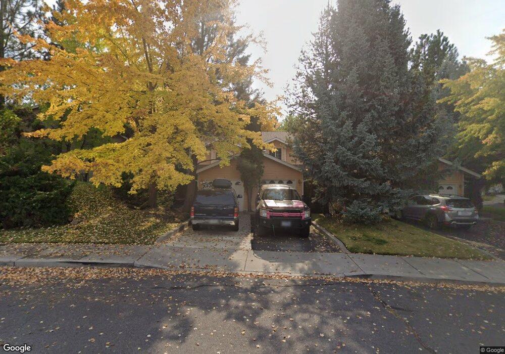
1965 NE Sams Loop Bend, OR 97701
Mountain View NeighborhoodEstimated Value: $1,076,000 - $1,341,000
8
Beds
8
Baths
4,578
Sq Ft
$264/Sq Ft
Est. Value
About This Home
This home is located at 1965 NE Sams Loop, Bend, OR 97701 and is currently estimated at $1,208,500, approximately $263 per square foot. 1965 NE Sams Loop is a home located in Deschutes County with nearby schools including Juniper Elementary School, Pilot Butte Middle School, and Bend Senior High School.
Ownership History
Date
Name
Owned For
Owner Type
Purchase Details
Closed on
Mar 6, 2023
Sold by
Bachman James V
Bought by
Bachman Living Trust
Current Estimated Value
Purchase Details
Closed on
May 1, 2017
Sold by
Gist John R
Bought by
Gist John R and The J Reuss Gist 1994 Trust
Home Financials for this Owner
Home Financials are based on the most recent Mortgage that was taken out on this home.
Original Mortgage
$2,800,000
Interest Rate
4.3%
Mortgage Type
Commercial
Purchase Details
Closed on
Dec 20, 2011
Sold by
Gist John R
Bought by
Gist John R
Purchase Details
Closed on
Feb 22, 2010
Sold by
Gist John R
Bought by
Gist John R
Create a Home Valuation Report for This Property
The Home Valuation Report is an in-depth analysis detailing your home's value as well as a comparison with similar homes in the area
Home Values in the Area
Average Home Value in this Area
Purchase History
| Date | Buyer | Sale Price | Title Company |
|---|---|---|---|
| Bachman Living Trust | -- | -- | |
| Gist John R | -- | Western Title & Escrow | |
| Gist John R | -- | Western Title & Escrow | |
| Gist John R | -- | Western Title & Escrow |
Source: Public Records
Mortgage History
| Date | Status | Borrower | Loan Amount |
|---|---|---|---|
| Previous Owner | Gist John R | $2,800,000 |
Source: Public Records
Tax History
| Year | Tax Paid | Tax Assessment Tax Assessment Total Assessment is a certain percentage of the fair market value that is determined by local assessors to be the total taxable value of land and additions on the property. | Land | Improvement |
|---|---|---|---|---|
| 2025 | $9,858 | $583,440 | -- | -- |
| 2024 | $9,484 | $566,450 | -- | -- |
| 2023 | $8,792 | $549,960 | $0 | $0 |
| 2022 | $8,203 | $518,401 | $0 | $0 |
| 2021 | $8,215 | $503,310 | $0 | $0 |
| 2020 | $7,794 | $503,310 | $0 | $0 |
| 2019 | $7,577 | $488,660 | $0 | $0 |
| 2018 | $7,363 | $474,430 | $0 | $0 |
| 2017 | $7,147 | $460,620 | $0 | $0 |
| 2016 | $6,816 | $447,210 | $0 | $0 |
| 2015 | $6,627 | $434,190 | $0 | $0 |
| 2014 | $6,432 | $421,550 | $0 | $0 |
Source: Public Records
Map
Nearby Homes
- 929 NE Lena Place
- 1052 NE Francis Ct
- 1419 NE Lucinda Ct
- 1696 NE Lotus Dr
- 940 NE Purcell Blvd
- 2200 NE Highway 20 Unit 13
- 2200 NE Hwy 20 Unit 15
- 1785 NE Janice Way
- 1801 NE Purcell Blvd Unit 20
- 1801 NE Shadowcrest Way
- 62062 Dean Swift Rd
- 2010 NE Full Moon Dr Unit 2
- 2044 NE Full Moon Dr
- 62017 NE Nate's Place
- 1649 NE Lesley Place
- 1761 NE Wichita Way
- 1188 NE 27th St Unit 71
- 1188 NE 27th St Unit 12
- 1735 NE Wichita Way
- 2879 NE Jackdaw Dr
- 1951 NE Sams Loop Unit 1
- 1951 NE Sams Loop
- 1975 NE Sams Loop
- 1935 NE Sams Loop
- 1085 NE Purcell Blvd
- 1085 NE Purcell Blvd Unit 30
- 1962 NE Sams Loop
- 1968 NE Sams Loop
- 1944 NE Sams Loop
- 1948 NE Sams Loop
- 1929 NE Sams Loop
- 1045 NE Savannah Dr
- 1950 NE Derek Dr Unit 3
- 1950 NE Derek Dr
- 2001 NE Rachel Ct
- 1958 NE Sams Loop
- 1078 NE Purcell Blvd
- 1932 NE Sams Loop
- 1932 NE Sams Loop Unit 1-4
Your Personal Tour Guide
Ask me questions while you tour the home.