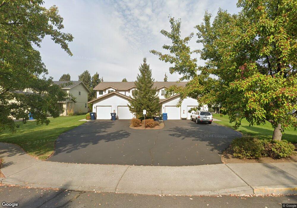
1968 NE Sams Loop Bend, OR 97701
Mountain View NeighborhoodEstimated Value: $1,150,000 - $1,348,295
8
Beds
8
Baths
4,578
Sq Ft
$277/Sq Ft
Est. Value
About This Home
This home is located at 1968 NE Sams Loop, Bend, OR 97701 and is currently estimated at $1,269,074, approximately $277 per square foot. 1968 NE Sams Loop is a home located in Deschutes County with nearby schools including Juniper Elementary School, Pilot Butte Middle School, and Bend Senior High School.
Ownership History
Date
Name
Owned For
Owner Type
Purchase Details
Closed on
Dec 28, 2004
Sold by
Chu Hon Y and Chu Kim F
Bought by
Chu Hon Y and Chu Kim F
Current Estimated Value
Home Financials for this Owner
Home Financials are based on the most recent Mortgage that was taken out on this home.
Original Mortgage
$308,000
Outstanding Balance
$153,292
Interest Rate
5.74%
Mortgage Type
Unknown
Estimated Equity
$1,115,782
Create a Home Valuation Report for This Property
The Home Valuation Report is an in-depth analysis detailing your home's value as well as a comparison with similar homes in the area
Home Values in the Area
Average Home Value in this Area
Purchase History
| Date | Buyer | Sale Price | Title Company |
|---|---|---|---|
| Chu Hon Y | -- | First Amer Title Ins Co Or | |
| Chu Hon Y | $440,000 | First Amer Title Ins Co Or |
Source: Public Records
Mortgage History
| Date | Status | Borrower | Loan Amount |
|---|---|---|---|
| Open | Chu Hon Y | $308,000 |
Source: Public Records
Tax History
| Year | Tax Paid | Tax Assessment Tax Assessment Total Assessment is a certain percentage of the fair market value that is determined by local assessors to be the total taxable value of land and additions on the property. | Land | Improvement |
|---|---|---|---|---|
| 2025 | $9,392 | $555,840 | -- | -- |
| 2024 | $9,036 | $539,660 | -- | -- |
| 2023 | $8,376 | $523,950 | $0 | $0 |
| 2022 | $7,815 | $493,880 | $0 | $0 |
| 2021 | $7,827 | $479,500 | $0 | $0 |
| 2020 | $7,425 | $479,500 | $0 | $0 |
| 2019 | $7,219 | $465,540 | $0 | $0 |
| 2018 | $7,015 | $451,990 | $0 | $0 |
| 2017 | $6,809 | $438,830 | $0 | $0 |
| 2016 | $6,493 | $426,050 | $0 | $0 |
| 2015 | $6,314 | $413,650 | $0 | $0 |
| 2014 | $6,063 | $401,610 | $0 | $0 |
Source: Public Records
Map
Nearby Homes
- 929 NE Lena Place
- 1419 NE Lucinda Ct
- 1052 NE Francis Ct
- 1696 NE Lotus Dr
- 1420 NE Sharkey Terrace
- 940 NE Purcell Blvd
- 1801 NE Purcell Blvd Unit 20
- 2200 NE Highway 20 Unit 13
- 2200 NE Hwy 20 Unit 15
- 1801 NE Shadowcrest Way
- 2044 NE Full Moon Dr
- 62062 Dean Swift Rd
- 2028 NE Patterson Cir
- 1761 NE Wichita Way
- 1188 NE 27th St Unit 71
- 1188 NE 27th St Unit 12
- 2025 NE Neil Way
- 2011 NE Neil Way
- 2154 NE Shepard Rd
- 1649 NE Lesley Place
- 1962 NE Sams Loop
- 1958 NE Sams Loop
- 1965 NE Sams Loop
- 1975 NE Sams Loop
- 1265 NE Purcell Blvd
- 1951 NE Sams Loop Unit 1
- 1951 NE Sams Loop
- 1948 NE Sams Loop
- 1992 NE Rachel Ct
- 2010 NE Rachel Ct
- 1944 NE Sams Loop
- 1291 NE Purcell Blvd
- 1291 NE Purcell Blvd Unit 3C
- 1293 NE Purcell Blvd Unit 4C
- 2001 NE Rachel Ct
- 1954 NE Sams Loop
- 1935 NE Sams Loop
- 1085 NE Purcell Blvd
- 1085 NE Purcell Blvd Unit 30
Your Personal Tour Guide
Ask me questions while you tour the home.