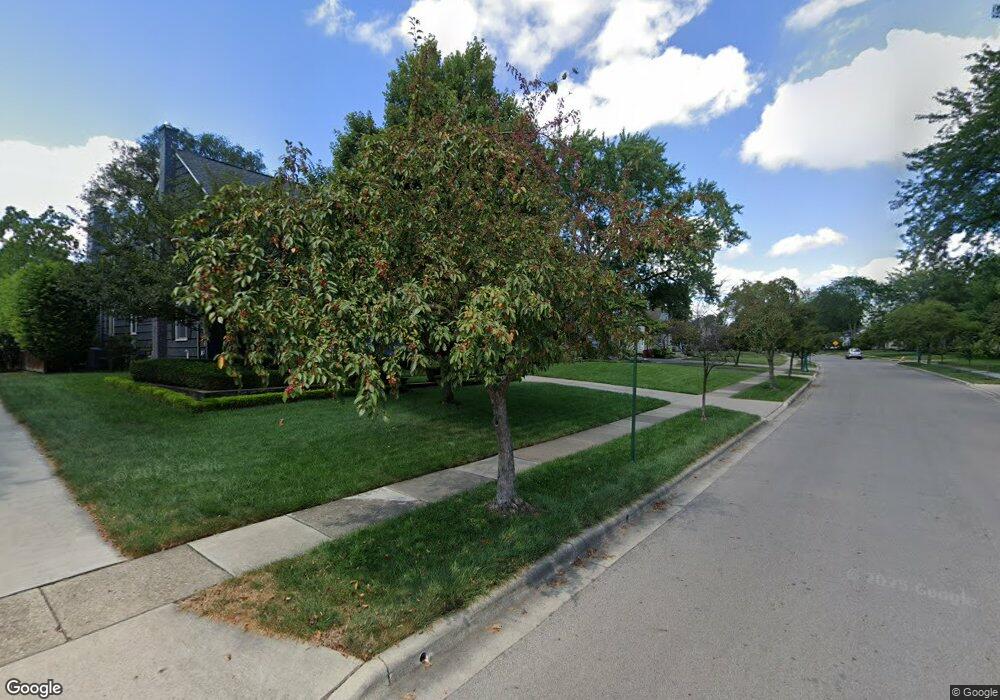
1969 Andover Rd Columbus, OH 43212
Upper Arlington AreaEstimated Value: $947,000 - $1,123,000
About This Home
This home is located at 1969 Andover Rd, Columbus, OH 43212 and is currently estimated at $1,003,955, approximately $368 per square foot. 1969 Andover Rd is a home located in Franklin County with nearby schools including Barrington Road Elementary School, Jones Middle School, and Upper Arlington High School.
Ownership History
We collect this data history from publicly available records. To have your information removed, we recommend requesting removal directly through your county’s website.
Purchase Details
Home Financials for this Owner
Home Financials are based on the most recent Mortgage that was taken out on this home.Purchase Details
Home Values in the Area
Average Home Value in this Area
Purchase History
We collect this data history from publicly available records. To have your information removed, we recommend requesting removal directly through your county’s website.
| Date | Buyer | Sale Price | Title Company |
|---|---|---|---|
| $475,000 | Talon Group | ||
| $215,000 | -- |
Mortgage History
We collect this data history from publicly available records. To have your information removed, we recommend requesting removal directly through your county’s website.
| Date | Status | Borrower | Loan Amount |
|---|---|---|---|
| Previous Owner | $225,963 | ||
| Previous Owner | $370,000 | ||
| Previous Owner | $380,000 | ||
| Previous Owner | $47,500 | ||
| Previous Owner | $380,000 | ||
| Previous Owner | $240,500 | ||
| Previous Owner | $125,000 | ||
| Previous Owner | $75,000 |
Tax History
We collect this data history from publicly available records. To have your information removed, we recommend requesting removal directly through your county’s website.
| Year | Tax Paid | Tax Assessment Tax Assessment Total Assessment is a certain percentage of the fair market value that is determined by local assessors to be the total taxable value of land and additions on the property. | Land | Improvement |
|---|---|---|---|---|
| 2025 | $15,813 | $272,870 | $125,130 | $147,740 |
| 2024 | $16,006 | $272,870 | $125,130 | $147,740 |
| 2023 | $15,601 | $272,860 | $125,125 | $147,735 |
| 2022 | $14,205 | $203,280 | $70,770 | $132,510 |
| 2021 | $12,574 | $203,280 | $70,770 | $132,510 |
| 2020 | $12,479 | $203,280 | $70,770 | $132,510 |
| 2019 | $12,492 | $180,150 | $70,770 | $109,380 |
| 2018 | $11,797 | $180,150 | $70,770 | $109,380 |
| 2017 | $11,838 | $180,150 | $70,770 | $109,380 |
| 2016 | $11,179 | $167,580 | $54,950 | $112,630 |
| 2015 | $11,170 | $167,580 | $54,950 | $112,630 |
| 2014 | $11,083 | $167,580 | $54,950 | $112,630 |
| 2013 | $5,341 | $152,320 | $49,945 | $102,375 |
Map
- 1872 Stanford Rd
- 1792 Andover Rd
- 1756 Wyandotte Rd
- 2121 Arlington Ave Unit 1
- 1810 Ashland Ave
- 1508 Barrington Rd
- 1875 Roxbury Rd
- 2281 Northwest Blvd
- 2229 Coventry Rd Unit 4
- 1672 Westwood Ave
- 2208 Arlington Ave
- 1870 Northwest Blvd Unit 8B
- 1612-1614 Westwood Ave
- 1799 Kings Ct Unit 57
- 1799 Kings Ct Unit B
- 1810 Kings Ct Unit B
- 1800 Berkshire Rd
- 1851 Berkshire Rd
- 1461-1467 Chesapeake Ave
- 2399 Brandon Rd
- 1981 Andover Rd
- 1795 Edgemont Rd
- 1961 Andover Rd
- 1765 Edgemont Rd
- 1974 Bedford Rd
- 1964 Bedford Rd
- 2009 Andover Rd
- 1976 Andover Rd
- 1764 Edgemont Rd
- 1960 Bedford Rd
- 1796 Edgemont Rd
- 1953 Andover Rd
- 2006 Andover Rd
- 1950 Bedford Rd
- 1956 Andover Rd
- 1806 Edgemont Rd
- 1945 Andover Rd
- 2012 Andover Rd
- 2019 Andover Rd
- 1977 Wyandotte Rd
Ask me questions while you tour the home.