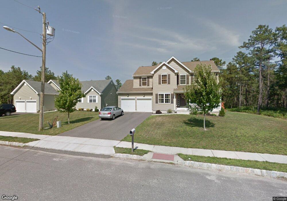
1970 Breakers Dr Barnegat, NJ 08005
Barnegat Township NeighborhoodEstimated Value: $562,000 - $761,000
4
Beds
3
Baths
2,118
Sq Ft
$303/Sq Ft
Est. Value
About This Home
This home is located at 1970 Breakers Dr, Barnegat, NJ 08005 and is currently estimated at $641,511, approximately $302 per square foot. 1970 Breakers Dr is a home located in Ocean County with nearby schools including Barnegat High School and St. Mary Academy.
Ownership History
Date
Name
Owned For
Owner Type
Purchase Details
Closed on
Jan 21, 2011
Sold by
Walters Development Co Llc
Bought by
Holler John F and Holler Michelle F
Current Estimated Value
Home Financials for this Owner
Home Financials are based on the most recent Mortgage that was taken out on this home.
Original Mortgage
$333,535
Outstanding Balance
$221,552
Interest Rate
4.25%
Mortgage Type
FHA
Estimated Equity
$419,959
Create a Home Valuation Report for This Property
The Home Valuation Report is an in-depth analysis detailing your home's value as well as a comparison with similar homes in the area
Home Values in the Area
Average Home Value in this Area
Purchase History
| Date | Buyer | Sale Price | Title Company |
|---|---|---|---|
| Holler John F | $338,027 | Stewart Title Guaranty Co |
Source: Public Records
Mortgage History
| Date | Status | Borrower | Loan Amount |
|---|---|---|---|
| Open | Holler John F | $333,535 |
Source: Public Records
Tax History
| Year | Tax Paid | Tax Assessment Tax Assessment Total Assessment is a certain percentage of the fair market value that is determined by local assessors to be the total taxable value of land and additions on the property. | Land | Improvement |
|---|---|---|---|---|
| 2025 | $9,215 | $298,900 | $85,500 | $213,400 |
| 2024 | $8,701 | $298,900 | $85,500 | $213,400 |
| 2023 | $8,420 | $298,900 | $85,500 | $213,400 |
| 2022 | $8,420 | $298,900 | $85,500 | $213,400 |
| 2021 | $8,362 | $297,300 | $85,500 | $211,800 |
| 2020 | $8,298 | $297,300 | $85,500 | $211,800 |
| 2019 | $8,176 | $297,300 | $85,500 | $211,800 |
| 2018 | $8,113 | $297,300 | $85,500 | $211,800 |
| 2017 | $7,980 | $297,300 | $85,500 | $211,800 |
| 2016 | $7,798 | $296,600 | $85,500 | $211,100 |
| 2015 | $7,551 | $296,600 | $85,500 | $211,100 |
| 2014 | $7,359 | $294,400 | $85,500 | $208,900 |
Source: Public Records
Map
Nearby Homes
- 1970 Breakers Dr
- 1968 Breakers Dr
- 1972 Breakers Dr
- 1972 Breakers Dr
- 23 Dylan Blvd
- 21 Bobstay Rd
- 25 Dylan Blvd
- 1974 Breakers Dr
- 21 Bobstay Rd
- 1971 Breakers Dr
- 1971 Breakers Dr
- 20 Bobstay Rd
- 27 Dylan Blvd
- 1964 Breakers Dr
- 1964 Breakers Dr
- 1976 Breakers Dr
- 1976 Breakers Dr
- 1973 Breakers Dr
- 29 Dylan Blvd
- 17 Dylan Blvd
Your Personal Tour Guide
Ask me questions while you tour the home.