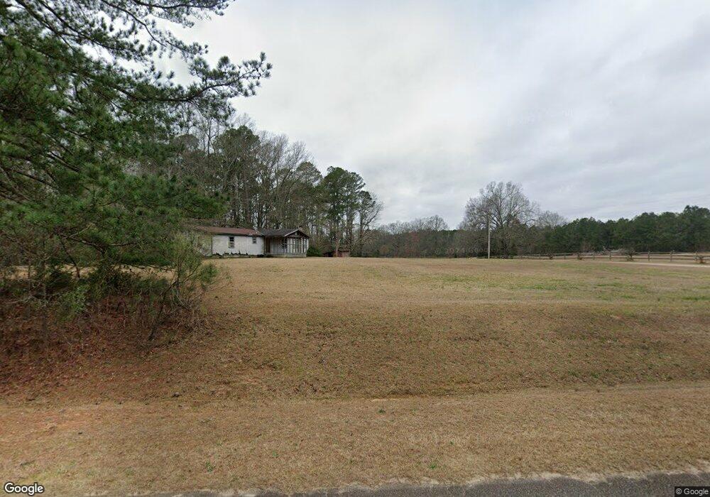
1971 Central Road Extension Thomson, GA 30824
Estimated Value: $270,417 - $327,000
2
Beds
2
Baths
1,425
Sq Ft
$207/Sq Ft
Est. Value
About This Home
This home is located at 1971 Central Road Extension, Thomson, GA 30824 and is currently estimated at $295,604, approximately $207 per square foot. 1971 Central Road Extension is a home located in McDuffie County with nearby schools including Thomson High School.
Ownership History
Date
Name
Owned For
Owner Type
Purchase Details
Closed on
Apr 4, 2008
Sold by
Montgomery Floyd
Bought by
Floyd T Montgomery and Montgomery Floyd T
Current Estimated Value
Purchase Details
Closed on
Nov 30, 1995
Sold by
Montgomery Floyd T
Bought by
Montgomery Geraldine H
Purchase Details
Closed on
Nov 1, 1995
Sold by
Montgomery Geraldine H
Bought by
Montgomery Floyd T
Purchase Details
Closed on
Sep 12, 1988
Sold by
Montgomery Floyd T
Bought by
Montgomery Floyd T and Montgomery Ger
Create a Home Valuation Report for This Property
The Home Valuation Report is an in-depth analysis detailing your home's value as well as a comparison with similar homes in the area
Home Values in the Area
Average Home Value in this Area
Purchase History
We collect this data history from publicly available records. To have your information removed, we recommend requesting removal directly through your county’s website.
| Date | Buyer | Sale Price | Title Company |
|---|---|---|---|
| Floyd T Montgomery | -- | -- | |
| Montgomery Geraldine H | -- | -- | |
| Montgomery Floyd T | -- | -- | |
| Montgomery Floyd T | -- | -- |
Source: Public Records
Tax History
| Year | Tax Paid | Tax Assessment Tax Assessment Total Assessment is a certain percentage of the fair market value that is determined by local assessors to be the total taxable value of land and additions on the property. | Land | Improvement |
|---|---|---|---|---|
| 2025 | $1,458 | $85,747 | $9,409 | $76,338 |
| 2024 | $1,458 | $81,052 | $8,476 | $72,576 |
| 2023 | $1,396 | $78,170 | $8,476 | $69,694 |
| 2022 | $1,069 | $63,764 | $8,476 | $55,288 |
| 2021 | $775 | $52,580 | $8,230 | $44,350 |
| 2020 | $816 | $54,424 | $12,908 | $41,516 |
| 2019 | $828 | $54,424 | $12,908 | $41,516 |
| 2018 | $828 | $54,424 | $12,908 | $41,516 |
| 2017 | $788 | $54,424 | $12,908 | $41,516 |
| 2016 | $1,076 | $54,153 | $12,908 | $41,245 |
| 2015 | $943 | $52,729 | $11,484 | $41,245 |
| 2014 | $943 | $52,729 | $11,484 | $41,245 |
| 2013 | -- | $52,960 | $11,484 | $41,476 |
Source: Public Records
Map
Nearby Homes
- 1964 Wrens Hwy
- 1543 Wrens Hwy
- 1690 Wrens Hwy
- 000 Wrens Hwy
- 354 King St
- 0 Wrens Hwy Unit 10652460
- 0 Wrens Hwy Unit 98254450
- 67 Shadowmoor Cir
- 544 Old Milledgeville Rd
- 819 Hillcrest Dr
- 118 Langham St
- 1009 Berkley Ct
- 1085 Berkley Ct W
- 1009 Berkley Ct W
- 1037 Berkley Ct
- 731 Hillcrest Dr
- 609 Hillcrest Dr
- 509 Fluker St
- 323 Forrest Clary Dr
- 502 Violet St
- 1983 Central Road Extension
- 1997 Central Road Extension
- 1901 Central Road Extension
- 1935 Central Road Extension
- 1899 Central Road Extension
- 2097 Central Road Extension
- 1970 Central Road Extension
- 1970 Central Road Extension
- 1877 Central Road Extension
- 1889 Central Road Extension
- 2072 Central Road Extension
- 1759 Old Milledgeville Rd
- 2096 Central Road Extension
- 1916 Central Road Extension
- 1884 Central Road Extension
- 1859 Central Road Extension
- 1769 Old Milledgeville Rd
- 1731 Old Milledgeville Rd
- 2135 Central Road Extension
- 1713 Old Milledgeville Rd
Your Personal Tour Guide
Ask me questions while you tour the home.