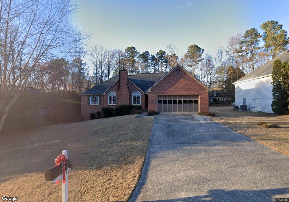
1974 Firelight Ln Unit 4 Buford, GA 30519
Lawrenceville AreaEstimated Value: $399,940 - $428,000
3
Beds
2
Baths
1,987
Sq Ft
$206/Sq Ft
Est. Value
About This Home
This home is located at 1974 Firelight Ln Unit 4, Buford, GA 30519 and is currently estimated at $409,485, approximately $206 per square foot. 1974 Firelight Ln Unit 4 is a home located in Gwinnett County with nearby schools including Freeman's Mill Elementary School, Twin Rivers Middle School, and Mountain View High School.
Create a Home Valuation Report for This Property
The Home Valuation Report is an in-depth analysis detailing your home's value as well as a comparison with similar homes in the area
Home Values in the Area
Average Home Value in this Area
Tax History
We collect this data history from publicly available records. To have your information removed, we recommend requesting removal directly through your county’s website.
| Year | Tax Paid | Tax Assessment Tax Assessment Total Assessment is a certain percentage of the fair market value that is determined by local assessors to be the total taxable value of land and additions on the property. | Land | Improvement |
|---|---|---|---|---|
| 2025 | $1,034 | $159,160 | $26,000 | $133,160 |
| 2024 | -- | $155,320 | $32,000 | $123,320 |
| 2023 | $876 | $150,400 | $32,000 | $118,400 |
| 2022 | $0 | $131,240 | $24,000 | $107,240 |
| 2021 | $0 | $111,920 | $20,000 | $91,920 |
| 2020 | $972 | $111,920 | $20,000 | $91,920 |
| 2019 | $939 | $92,680 | $16,800 | $75,880 |
| 2018 | $885 | $92,680 | $16,800 | $75,880 |
| 2016 | $925 | $83,000 | $16,800 | $66,200 |
| 2015 | $939 | $72,240 | $12,000 | $60,240 |
| 2014 | -- | $60,200 | $12,000 | $48,200 |
Source: Public Records
Map
Nearby Homes
- 1983 Trestlebrook Way
- 1975 Wynfield Point Dr
- 2053 Arbor Springs Way
- 2004 Brittlebank Ln
- 2023 Arbor Springs Way
- 1912 Arbor Springs Way
- 2012 Wyncliff Ct Unit 2
- 1924 Brittlebank Ln Unit 1
- 2199 Sunny Hill Rd
- 1755 Charleston Oak Cir Unit 1
- 1939 Sunny Hill Rd
- 1810 Sunset Harbour Pointe Unit 6
- 2297 Roberts View Trail
- 1761 Keenland Place
- 1846 Dorminey Ct Unit 2
- 1801 Dorminey Ct
- 1661 Jami Hollow Way
- 1521 Jami Hollow Way
- 1960 Rocksram Dr
- 1724 Willoughby Dr
- 1984 Firelight Ln Unit 1
- 1964 Firelight Ln
- 2020 Wynfield Point Dr
- 1973 Trestlebrook Way Unit 3
- 1954 Firelight Ln Unit Ga0031
- 1954 Firelight Ln
- 1954 Firelight Ln Unit GA00315
- 2030 Wynfield Point Dr Unit 1
- 1989 Firelight Ln
- 1963 Trestlebrook Way
- 1969 Firelight Ln
- 1999 Firelight Ln
- 6219 Wynfield Unit LOT 4C
- 6230 Wynfield
- 6219 Wynfield
- 1959 Firelight Ln Unit 4
- 2025 Wynfield Point Dr
- 1953 Trestlebrook Way
- 1944 Firelight Ln
- 2015 Wynfield Point Dr Unit 1
Your Personal Tour Guide
Ask me questions while you tour the home.