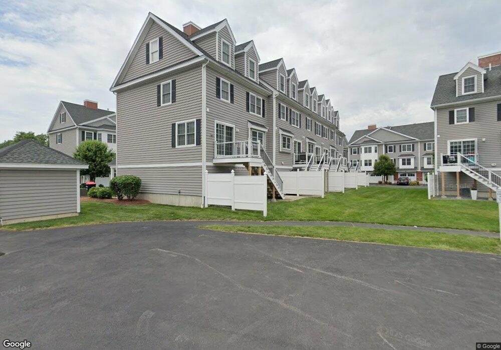
1975 Middlesex St Unit 38 Lowell, MA 01851
Highlands NeighborhoodEstimated Value: $487,152 - $593,000
2
Beds
2
Baths
1,600
Sq Ft
$333/Sq Ft
Est. Value
About This Home
This home is located at 1975 Middlesex St Unit 38, Lowell, MA 01851 and is currently estimated at $532,538, approximately $332 per square foot. 1975 Middlesex St Unit 38 is a home located in Middlesex County with nearby schools including Charles W. Morey Elementary School, Dr. Gertrude Bailey Elementary School, and Joseph McAvinnue Elementary School.
Ownership History
Date
Name
Owned For
Owner Type
Purchase Details
Closed on
Dec 23, 2020
Sold by
Thurber Maura E
Bought by
Thurber Christopher G and Thurber Maura E
Current Estimated Value
Home Financials for this Owner
Home Financials are based on the most recent Mortgage that was taken out on this home.
Original Mortgage
$199,000
Outstanding Balance
$174,704
Interest Rate
2.7%
Mortgage Type
New Conventional
Estimated Equity
$357,834
Purchase Details
Closed on
Jan 29, 2010
Sold by
Millview Ests Llc
Bought by
Mangan Maura E
Home Financials for this Owner
Home Financials are based on the most recent Mortgage that was taken out on this home.
Original Mortgage
$195,900
Interest Rate
4.95%
Mortgage Type
Purchase Money Mortgage
Create a Home Valuation Report for This Property
The Home Valuation Report is an in-depth analysis detailing your home's value as well as a comparison with similar homes in the area
Home Values in the Area
Average Home Value in this Area
Purchase History
| Date | Buyer | Sale Price | Title Company |
|---|---|---|---|
| Thurber Christopher G | -- | None Available | |
| Mangan Maura E | $244,900 | -- | |
| Mangan Maura E | $244,900 | -- |
Source: Public Records
Mortgage History
| Date | Status | Borrower | Loan Amount |
|---|---|---|---|
| Open | Thurber Christopher G | $199,000 | |
| Previous Owner | Mangan Maura E | $195,900 | |
| Previous Owner | Mangan Maura E | $41,600 |
Source: Public Records
Tax History
| Year | Tax Paid | Tax Assessment Tax Assessment Total Assessment is a certain percentage of the fair market value that is determined by local assessors to be the total taxable value of land and additions on the property. | Land | Improvement |
|---|---|---|---|---|
| 2025 | $4,909 | $427,600 | $0 | $427,600 |
| 2024 | $4,793 | $402,400 | $0 | $402,400 |
| 2023 | $4,508 | $363,000 | $0 | $363,000 |
| 2022 | $3,971 | $312,900 | $0 | $312,900 |
| 2021 | $4,060 | $301,600 | $0 | $301,600 |
| 2020 | $3,900 | $291,900 | $0 | $291,900 |
| 2019 | $3,844 | $273,800 | $0 | $273,800 |
| 2018 | $3,708 | $257,700 | $0 | $257,700 |
| 2017 | $3,658 | $245,200 | $0 | $245,200 |
| 2016 | $3,497 | $230,700 | $0 | $230,700 |
| 2015 | $3,429 | $221,500 | $0 | $221,500 |
| 2013 | $3,416 | $227,600 | $0 | $227,600 |
Source: Public Records
Map
Nearby Homes
- 1975 Middlesex St Unit 33
- 1975 Middlesex St Unit 2
- 24 Brouilette St Unit A
- 2 Walter G Wiede St Unit 1
- 18 Tobin Ave Unit 18
- 54 Shirley Ave
- 4 Tamarack St
- 58 Church St
- 41 Highland Ave
- 15 Meadow Dr
- 1215 Pawtucket Blvd Unit 45
- 101 Laurie Ln
- 29 Middlesex St Unit 1
- 89 Coburn Dr
- 16 Middlesex St Unit 4
- 255 North Rd Unit 103
- 255 North Rd Unit 10
- 141 Westview Rd
- 165 Wellman Ave Unit 165
- 737 Wellman Ave Unit 737
- 1975 Middlesex St Unit 57
- 1975 Middlesex St Unit 55
- 1975 Middlesex St Unit 54
- 1975 Middlesex St Unit 58
- 1975 Middlesex St Unit 71
- 1975 Middlesex St Unit 70
- 1975 Middlesex St Unit 72
- 1975 Middlesex St Unit 69
- 1975 Middlesex St Unit 30
- 1975 Middlesex St Unit 34
- 1975 Middlesex St Unit 37
- 1975 Middlesex St Unit 36
- 1975 Middlesex St Unit 35
- 1975 Middlesex St Unit 32
- 1975 Middlesex St Unit 31
- 1975 Middlesex St Unit 39
- 1975 Middlesex St Unit 5
- 1975 Middlesex St Unit 8
- 1975 Middlesex St Unit 13
- 1975 Middlesex St Unit 18
Your Personal Tour Guide
Ask me questions while you tour the home.