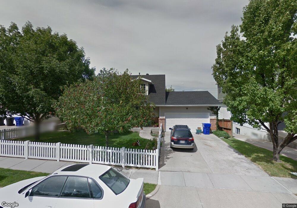
1978 S 200 E Bountiful, UT 84010
Estimated Value: $560,000 - $864,000
4
Beds
3
Baths
1,916
Sq Ft
$344/Sq Ft
Est. Value
About This Home
This home is located at 1978 S 200 E, Bountiful, UT 84010 and is currently estimated at $659,315, approximately $344 per square foot. 1978 S 200 E is a home located in Davis County with nearby schools including Muir School, Mueller Park Junior High School, and Bountiful High School.
Ownership History
Date
Name
Owned For
Owner Type
Purchase Details
Closed on
Mar 25, 2020
Sold by
Busk David John
Bought by
Busk David John and Busk David John
Current Estimated Value
Purchase Details
Closed on
Mar 3, 1998
Sold by
Jensen Christian Dwight
Bought by
Busk David John and Busk Heidi Jensen
Home Financials for this Owner
Home Financials are based on the most recent Mortgage that was taken out on this home.
Original Mortgage
$98,300
Interest Rate
6.99%
Create a Home Valuation Report for This Property
The Home Valuation Report is an in-depth analysis detailing your home's value as well as a comparison with similar homes in the area
Purchase History
| Date | Buyer | Sale Price | Title Company |
|---|---|---|---|
| Busk David John | -- | None Available | |
| Busk David John | -- | Western States Title Company |
Source: Public Records
Mortgage History
| Date | Status | Borrower | Loan Amount |
|---|---|---|---|
| Previous Owner | Busk David John | $98,300 |
Source: Public Records
Tax History
| Year | Tax Paid | Tax Assessment Tax Assessment Total Assessment is a certain percentage of the fair market value that is determined by local assessors to be the total taxable value of land and additions on the property. | Land | Improvement |
|---|---|---|---|---|
| 2025 | $3,317 | $308,550 | $116,018 | $192,532 |
| 2024 | $3,081 | $296,450 | $99,234 | $197,216 |
| 2023 | $3,048 | $532,000 | $186,694 | $345,306 |
| 2022 | $3,186 | $305,250 | $103,073 | $202,177 |
| 2021 | $2,830 | $414,000 | $134,715 | $279,285 |
| 2020 | $2,477 | $364,000 | $116,521 | $247,479 |
| 2019 | $2,467 | $354,000 | $133,350 | $220,650 |
| 2018 | $2,340 | $331,000 | $130,960 | $200,040 |
| 2016 | $2,165 | $166,430 | $37,200 | $129,230 |
| 2015 | $2,088 | $151,470 | $37,200 | $114,270 |
| 2014 | $2,070 | $154,272 | $37,200 | $117,072 |
| 2013 | -- | $111,843 | $45,599 | $66,244 |
Source: Public Records
Map
Nearby Homes
- 188 E 2050 S Unit D3
- 2064 S Orchard Dr
- 296 E 2050 S Unit 2
- 2038 S 350 E Unit 3
- 2046 S 350 E Unit 4
- 320 E 2100 S
- 295 E 2050 S Unit 1
- 2273 S 200 E
- 2059 S 350 E Unit 6
- 2 E Wicker Ln
- 110 2250 S
- 2053 S 350 E Unit 7
- 41 E 2200 S
- 2292 S 250 E
- 1820 S 50 W
- 1886 S Jeri Dr
- 141 E 1650 S
- 19 E North Canyon Rd
- 69 E North Canyon Rd
- 190 W 1800 S
- 1940 S 200 E
- 2016 S 200 E
- 204 E 1950 S
- 188 E 2050 S
- 188 E 2050 S Unit D2
- 188 E 2050 S Unit D1
- 188 E 2050 S Unit C4
- 188 E 2050 S Unit C3
- 188 E 2050 S Unit C2
- 188 E 2050 S Unit C1
- 188 E 2050 S Unit B4
- 188 E 2050 S Unit B3
- 188 E 2050 S Unit B2
- 188 E 2050 S Unit B1
- 188 E 2050 S Unit A4
- 188 E 2050 S Unit A3
- 188 E 2050 S Unit A2
- 188 E 2050 S Unit A1
- 188 E 2050 S Unit 2B
- 216 E 1950 S
Your Personal Tour Guide
Ask me questions while you tour the home.