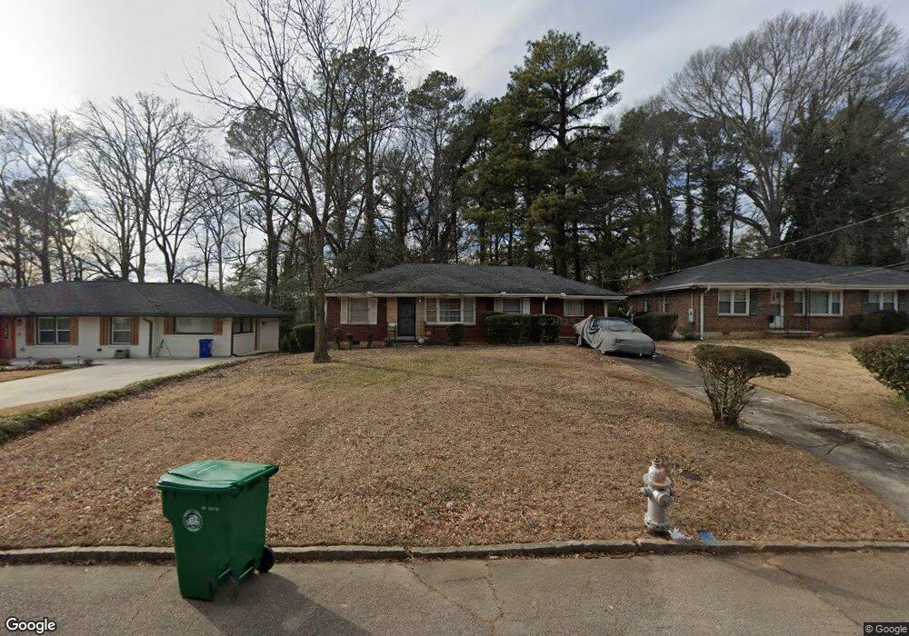
1979 Laurel Ln Decatur, GA 30032
Estimated Value: $173,489 - $218,000
3
Beds
1
Bath
1,412
Sq Ft
$140/Sq Ft
Est. Value
About This Home
This home is located at 1979 Laurel Ln, Decatur, GA 30032 and is currently estimated at $197,872, approximately $140 per square foot. 1979 Laurel Ln is a home located in DeKalb County with nearby schools including Snapfinger Elementary School, Columbia Middle School, and Columbia High School.
Create a Home Valuation Report for This Property
The Home Valuation Report is an in-depth analysis detailing your home's value as well as a comparison with similar homes in the area
Home Values in the Area
Average Home Value in this Area
Tax History
| Year | Tax Paid | Tax Assessment Tax Assessment Total Assessment is a certain percentage of the fair market value that is determined by local assessors to be the total taxable value of land and additions on the property. | Land | Improvement |
|---|---|---|---|---|
| 2025 | $421 | $62,600 | $24,560 | $38,040 |
| 2024 | $458 | $72,400 | $24,560 | $47,840 |
| 2023 | $458 | $70,160 | $24,560 | $45,600 |
Source: Public Records
Map
Nearby Homes
- 1968 Rosewood Rd
- 3168 Mcafee Rd
- 1872 Rosewood Rd
- 1923 Rosewood Rd
- 2026 Glendale Dr
- 1997 Glendale Dr
- 1914 Derrill Dr
- 1994 Shamrock Dr
- 1881 Derrill Dr
- 2004 Shamrock Dr
- 3247 Mcafee Rd
- 1847 Derrill Dr
- 2118 Glendale Dr
- 1903 S Columbia Place
- 1846 Shamrock Dr
- 2125 Glendale Dr
- 2131 Glendale Dr
- 1908 S Columbia Place
- 1964 Pinedale Place
- 1979 Creekside Ct
- 1975 Laurel Ln
- 1985 Laurel Ln
- 1969 Laurel Ln
- 1991 Laurel Ln
- 1978 Rosewood Rd
- 1974 Rosewood Rd
- 1984 Rosewood Rd
- 1965 Laurel Ln
- 1997 Laurel Ln
- 1990 Rosewood Rd
- 1978 Laurel Ln
- 1984 Laurel Ln
- 1974 Laurel Ln
- 1964 Rosewood Rd
- 1959 Laurel Ln
- 1990 Laurel Ln
- 1968 Laurel Ln
- 1996 Rosewood Rd
- 3142 Mcafee Rd
- 2001 Laurel Ln
Your Personal Tour Guide
Ask me questions while you tour the home.