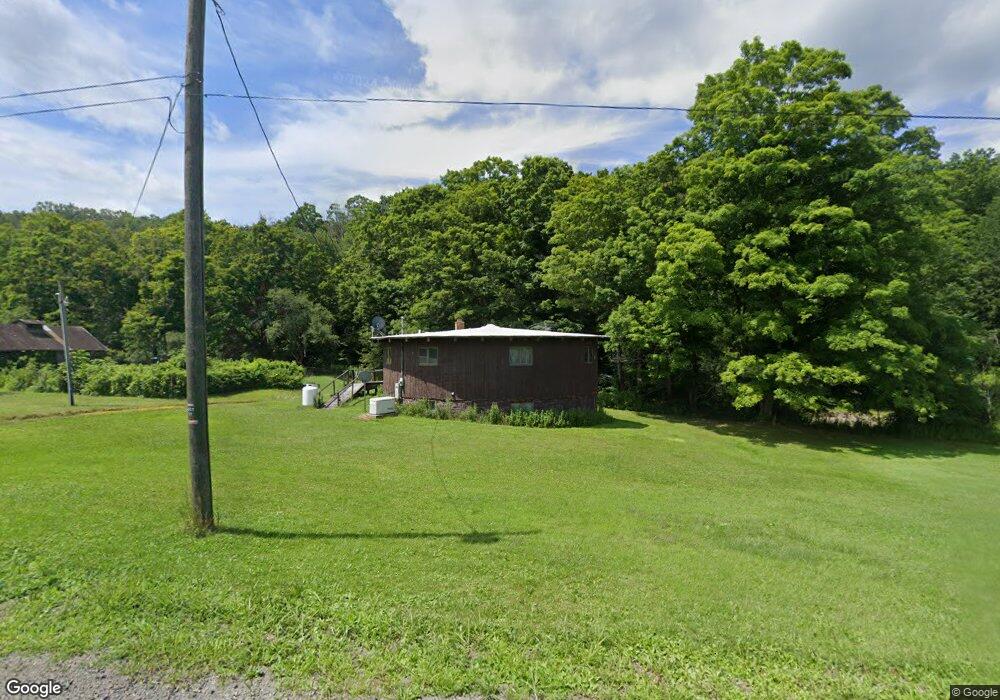
1981 Brown Hollow Rd Corning, NY 14830
Estimated Value: $183,000 - $345,000
5
Beds
2
Baths
1,385
Sq Ft
$188/Sq Ft
Est. Value
About This Home
This home is located at 1981 Brown Hollow Rd, Corning, NY 14830 and is currently estimated at $260,543, approximately $188 per square foot. 1981 Brown Hollow Rd is a home located in Steuben County with nearby schools including William E. Severn Elementary School, Corning-Painted Post Middle School, and Corning-Painted Post High School.
Ownership History
Date
Name
Owned For
Owner Type
Purchase Details
Closed on
Dec 29, 2021
Sold by
Lightfoot Richelle O and Lightfoot Mary R
Bought by
Lightfoot Mary R and Lightfoot Richelle O
Current Estimated Value
Home Financials for this Owner
Home Financials are based on the most recent Mortgage that was taken out on this home.
Original Mortgage
$66,200
Interest Rate
4.55%
Mortgage Type
New Conventional
Purchase Details
Closed on
Apr 15, 2005
Sold by
Lightfoot Richard
Bought by
Lightfoot Mary
Create a Home Valuation Report for This Property
The Home Valuation Report is an in-depth analysis detailing your home's value as well as a comparison with similar homes in the area
Purchase History
| Date | Buyer | Sale Price | Title Company |
|---|---|---|---|
| Lightfoot Mary R | -- | Advantage Title | |
| Lightfoot Mary | -- | Frederick M Cerio | |
| Lightfoot Mary | -- | Frederick M Cerio |
Source: Public Records
Mortgage History
| Date | Status | Borrower | Loan Amount |
|---|---|---|---|
| Previous Owner | Lightfoot Mary R | $66,200 |
Source: Public Records
Tax History
| Year | Tax Paid | Tax Assessment Tax Assessment Total Assessment is a certain percentage of the fair market value that is determined by local assessors to be the total taxable value of land and additions on the property. | Land | Improvement |
|---|---|---|---|---|
| 2024 | $5,489 | $131,300 | $24,000 | $107,300 |
| 2023 | $5,142 | $131,300 | $24,000 | $107,300 |
| 2022 | $945 | $131,300 | $24,000 | $107,300 |
| 2021 | $945 | $131,300 | $24,000 | $107,300 |
| 2020 | $1,467 | $131,300 | $24,000 | $107,300 |
| 2019 | $3,189 | $131,300 | $24,000 | $107,300 |
| 2018 | $3,189 | $131,300 | $24,000 | $107,300 |
| 2017 | $3,232 | $131,300 | $24,000 | $107,300 |
| 2016 | $3,153 | $131,300 | $24,000 | $107,300 |
| 2015 | -- | $115,400 | $20,900 | $94,500 |
| 2014 | -- | $115,400 | $20,900 | $94,500 |
Source: Public Records
Map
Nearby Homes
- 2213 Brown Hollow Rd
- 0 Steege Hill Rd
- 11357 River Rd
- 2497 Spaulding Dr
- 11461 Green Pkwy
- 0 Caton Rd Unit R1637646
- 2357 Caton Rd
- 2497 Caton Rd
- 11109 Caton Center Cross Rd
- 891 Dutch Hill Rd
- 11797 Fish Pond Rd
- 1123 Caton Rd
- 10887 Copp Hill Rd
- 2661 Bailey Creek Rd
- 10684 Bear Run Rd
- 0 Glen Ave
- 10806 Tuttle Dr
- 46 Roberts Ave
- 33-35 Roberts Ave
- 10806 W Caton Rd
- 1972 Brown Hollow Rd
- 2005 Brown Hollow Rd
- 11724 Shane Rd
- 2046 Brown Hollow Rd
- 0 Brown Hollow Rd
- Brown Hollow Brown Hollow Rd
- 2104 Brown Hollow Rd
- 11768 Shane Rd
- 1783 Lightfoot Ln
- 11812 Sticklertown Rd
- 1839 Brown Hollow Rd
- 11867 Sticklertown Rd
- 1765 Lightfoot Ln
- 1854 Lightfoot Ln
- 11876 Sticklertown Rd
- 12006 Shane Rd
- 11894 Sticklertown Rd
- 11848 Sticklertown Rd
- 11905 Sticklertown Rd
- 1814 Lightfoot Ln
Your Personal Tour Guide
Ask me questions while you tour the home.