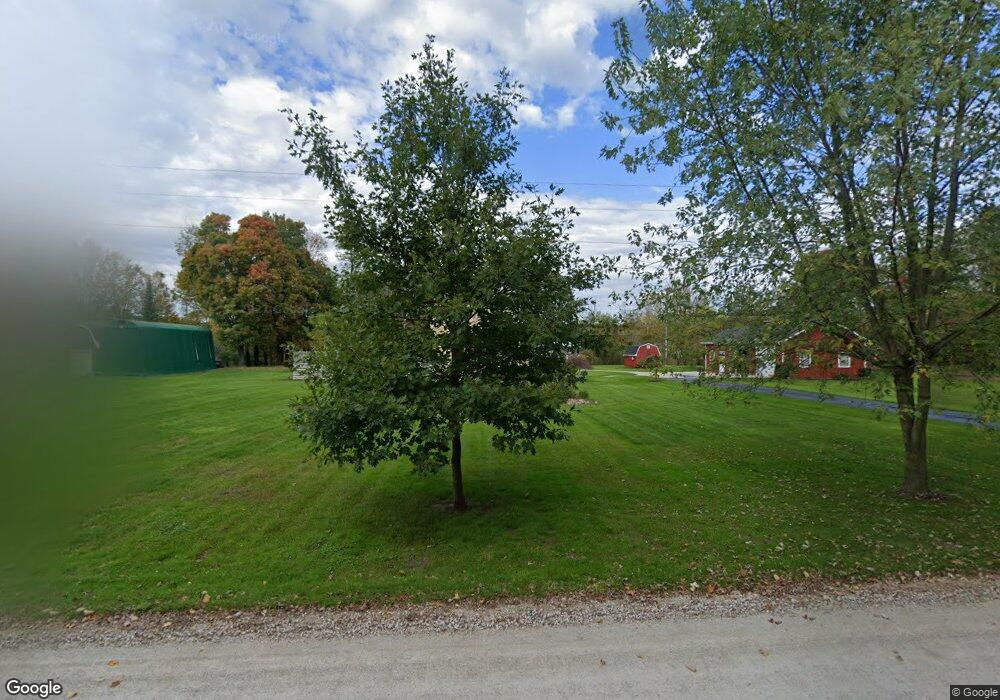
1981 Burns Rd Kimball, MI 48074
Estimated Value: $58,000 - $151,000
Studio
1
Bath
936
Sq Ft
$112/Sq Ft
Est. Value
About This Home
This home is located at 1981 Burns Rd, Kimball, MI 48074 and is currently estimated at $104,500, approximately $111 per square foot. 1981 Burns Rd is a home located in St. Clair County with nearby schools including Kimball Elementary School, Central Middle School, and Port Huron High School.
Ownership History
Date
Name
Owned For
Owner Type
Purchase Details
Closed on
Jul 31, 2017
Sold by
Loxton Steven R and Loxton Wendy L
Bought by
Mackay Jennifer Curtiss
Current Estimated Value
Home Financials for this Owner
Home Financials are based on the most recent Mortgage that was taken out on this home.
Original Mortgage
$255,920
Outstanding Balance
$212,051
Interest Rate
3.88%
Mortgage Type
New Conventional
Estimated Equity
-$107,551
Purchase Details
Closed on
Aug 22, 2008
Sold by
Estate Of James F Smith
Bought by
Loxton Steven R and Loxton Wendy L
Home Financials for this Owner
Home Financials are based on the most recent Mortgage that was taken out on this home.
Original Mortgage
$75,000
Interest Rate
6.42%
Mortgage Type
New Conventional
Create a Home Valuation Report for This Property
The Home Valuation Report is an in-depth analysis detailing your home's value as well as a comparison with similar homes in the area
Home Values in the Area
Average Home Value in this Area
Purchase History
| Date | Buyer | Sale Price | Title Company |
|---|---|---|---|
| Mackay Jennifer Curtiss | $349,000 | None Available | |
| Loxton Steven R | $115,000 | None Available |
Source: Public Records
Mortgage History
| Date | Status | Borrower | Loan Amount |
|---|---|---|---|
| Open | Mackay Jennifer Curtiss | $255,920 | |
| Previous Owner | Loxton Steven R | $75,000 |
Source: Public Records
Tax History
| Year | Tax Paid | Tax Assessment Tax Assessment Total Assessment is a certain percentage of the fair market value that is determined by local assessors to be the total taxable value of land and additions on the property. | Land | Improvement |
|---|---|---|---|---|
| 2025 | $127 | $13,200 | $0 | $0 |
| 2024 | $124 | $13,200 | $0 | $0 |
| 2023 | $113 | $13,200 | $0 | $0 |
| 2022 | $195 | $13,100 | $0 | $0 |
| 2020 | $176 | $7,100 | $0 | $7,100 |
| 2019 | $193 | $7,800 | $0 | $0 |
| 2018 | $315 | $7,400 | $0 | $0 |
| 2017 | $183 | $9,100 | $0 | $0 |
| 2016 | $126 | $9,100 | $0 | $0 |
| 2015 | -- | $9,000 | $9,000 | $0 |
| 2014 | -- | $9,500 | $9,500 | $0 |
| 2013 | -- | $8,900 | $0 | $0 |
Source: Public Records
Map
Nearby Homes
- 1900 Burns Rd
- 0 Sparling Rd Unit 2210034403
- 6841 Sparling Rd
- 0 Sparling & Mayer Rd Unit Lot- 4
- 0 Sparling Unit Lot-1
- 0 Sparling Unit Lot- 2
- 0 Sparling Unit Lot- 3
- 0 Richman Rd Unit 50197304
- 6417 Dove Rd
- 1040 Mayer Rd
- 6776 Ravenswood Rd
- I-69 vac Taylor Dr
- 6801 Lapeer Rd
- 8237 Lambs Rd
- 00 Griswold Rd
- 6154 Birch Creek Ct
- 6550 Lapeer Rd
- 0000 Conrad Dr
- 7627 Lapeer Rd
- 2047 Edward Ln E
- 1981 Burns Rd
- 1967 Burns Rd
- 2000 Burns Rd
- 1951 Burns Rd
- 1921 Burns Rd
- 1946 Burns Rd
- 7125 Griswold Rd
- 7111 Griswold Rd
- 7091 Griswold Rd
- 7097 Griswold Rd
- 1915 Burns Rd
- 7166 Griswold Rd
- 1893 Burns Rd
- 7085 Griswold Rd
- 7118 Griswold Rd
- 7172 Griswold Rd
- 7102 Griswold Rd
- 7150 Griswold Rd
- 7077 Griswold Rd
- 7092 Griswold Rd
Your Personal Tour Guide
Ask me questions while you tour the home.