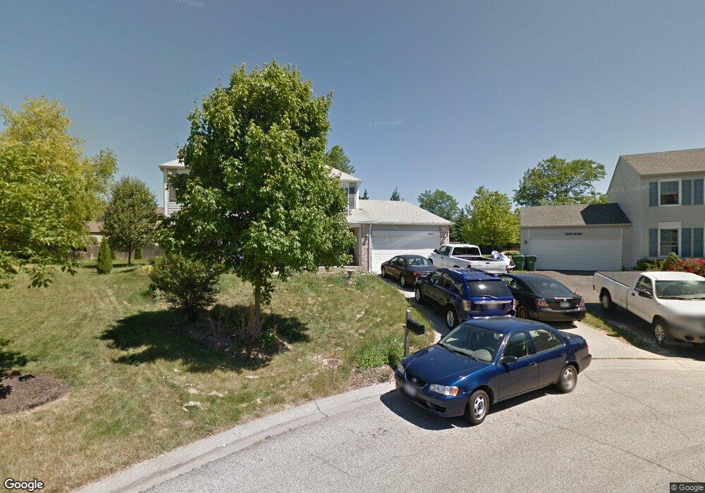
1981 Franklin Ct Gurnee, IL 60031
Estimated Value: $418,000 - $446,968
About This Home
This home is located at 1981 Franklin Ct, Gurnee, IL 60031 and is currently estimated at $434,742, approximately $192 per square foot. 1981 Franklin Ct is a home located in Lake County with nearby schools including Woodland Primary School, Woodland Intermediate School, and Woodland Elementary School.
Ownership History
We collect this data history from publicly available records. To have your information removed, we recommend requesting removal directly through your county’s website.
Purchase Details
Home Financials for this Owner
Home Financials are based on the most recent Mortgage that was taken out on this home.Purchase Details
Purchase Details
Purchase Details
Purchase Details
Purchase Details
Purchase Details
Purchase Details
Home Financials for this Owner
Home Financials are based on the most recent Mortgage that was taken out on this home.Home Values in the Area
Average Home Value in this Area
Purchase History
We collect this data history from publicly available records. To have your information removed, we recommend requesting removal directly through your county’s website.
| Date | Buyer | Sale Price | Title Company |
|---|---|---|---|
| -- | Bc Law Firm Pa | ||
| -- | None Available | ||
| -- | None Available | ||
| -- | -- | ||
| -- | -- | ||
| -- | -- | ||
| -- | -- | ||
| $205,000 | -- |
Mortgage History
We collect this data history from publicly available records. To have your information removed, we recommend requesting removal directly through your county’s website.
| Date | Status | Borrower | Loan Amount |
|---|---|---|---|
| Previous Owner | $205,000 | ||
| Previous Owner | $143,000 |
Tax History
We collect this data history from publicly available records. To have your information removed, we recommend requesting removal directly through your county’s website.
| Year | Tax Paid | Tax Assessment Tax Assessment Total Assessment is a certain percentage of the fair market value that is determined by local assessors to be the total taxable value of land and additions on the property. | Land | Improvement |
|---|---|---|---|---|
| 2025 | $10,165 | $129,656 | $21,992 | $107,664 |
| 2024 | $9,852 | $123,494 | $20,947 | $102,547 |
| 2023 | $9,522 | $114,655 | $19,448 | $95,207 |
| 2022 | $9,522 | $107,114 | $19,743 | $87,371 |
| 2021 | $8,592 | $102,816 | $18,951 | $83,865 |
| 2020 | $8,301 | $100,289 | $18,485 | $81,804 |
| 2019 | $8,054 | $97,377 | $17,948 | $79,429 |
| 2018 | $8,024 | $99,318 | $16,388 | $82,930 |
| 2017 | $7,833 | $96,472 | $15,918 | $80,554 |
| 2016 | $7,735 | $92,176 | $15,209 | $76,967 |
| 2015 | $8,200 | $87,420 | $14,424 | $72,996 |
| 2014 | $6,835 | $74,330 | $15,177 | $59,153 |
| 2012 | $6,481 | $74,899 | $15,293 | $59,606 |
Map
- 2013 Liberty Ln
- 5690 Delaware Ave
- 5825 Hancock Ln
- 2446 Lawson Blvd
- 5660 Trinity Ct
- 2079 Lawson Blvd
- 5667 Steeple Pointe Blvd
- 1577 N Dilleys Rd
- 1953 Lawson Blvd Unit III
- 36537 N Fox Hill Dr
- 5150 Winona Ln
- 1902 Pine Meadow Ct
- 1464 Birchwood Ln Unit 1B1
- 1395 Stratford Dr Unit 11A2
- 36641 N Devon Ct
- 5235 Rockpoint Ct Unit 5235
- 37133 N Fox Hill Dr
- 36650 N Kimberwick Ln
- 1520 Queen Ann Ln Unit 16
- 37181 N Fox Hill Dr
- 2009 Madison Ave
- 2001 Madison Ave
- 2017 Madison Ave
- 1989 Madison Ave
- 2029 Madison Ave
- 2016 Madison Ave
- 1969 Franklin Ct
- 5729 Constitution Ave
- 1981 Madison Ave
- 1971 N Dilleys Rd
- 2008 Madison Ave
- 5645 Barnwood Dr Unit 10
- 5743 Constitution Ave
- 1966 Franklin Ct
- 5585 Medinah Ct
- 2055 Madison Ave
- 1996 Madison Ave Unit 1
- 1969 Madison Ave
- 1957 Franklin Ct
- 5757 Constitution Ave
Ask me questions while you tour the home.