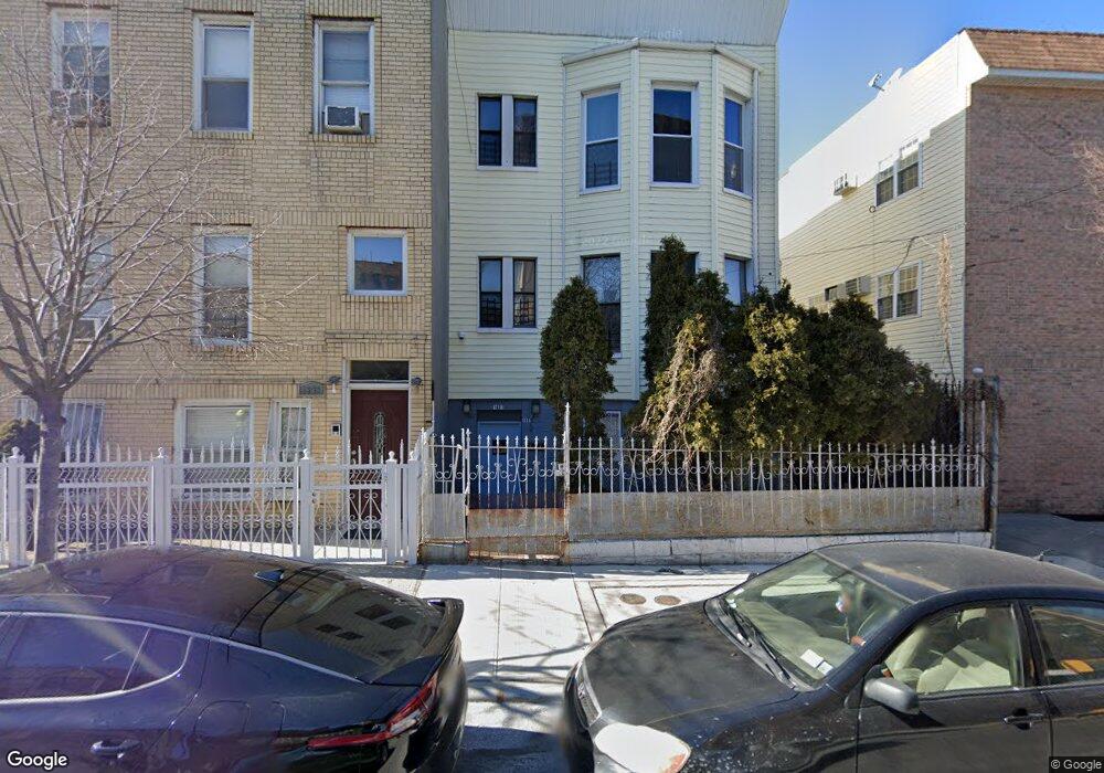
1981 Mapes Ave Bronx, NY 10460
West Farms NeighborhoodEstimated Value: $471,332 - $1,254,000
Studio
--
Bath
3,600
Sq Ft
$268/Sq Ft
Est. Value
About This Home
This home is located at 1981 Mapes Ave, Bronx, NY 10460 and is currently estimated at $965,083, approximately $268 per square foot. 1981 Mapes Ave is a home located in Bronx County with nearby schools including P.S. 214, Children's Aid College Preparatory Charter School, and Success Academy Bronx 2.
Ownership History
Date
Name
Owned For
Owner Type
Purchase Details
Closed on
Sep 1, 2010
Sold by
Deasis Christian
Bought by
Cabrera Ramon R
Current Estimated Value
Purchase Details
Closed on
Nov 18, 2005
Sold by
Taveras Derrick and Taveras Teresita
Bought by
Deasis Christian and Taveras Teresita
Home Financials for this Owner
Home Financials are based on the most recent Mortgage that was taken out on this home.
Original Mortgage
$400,500
Interest Rate
6.14%
Mortgage Type
Purchase Money Mortgage
Purchase Details
Closed on
Aug 22, 2003
Sold by
Taveras Teresita
Bought by
Taveras Derrick and Taveras Teresita
Home Financials for this Owner
Home Financials are based on the most recent Mortgage that was taken out on this home.
Original Mortgage
$225,000
Interest Rate
6.3%
Mortgage Type
Purchase Money Mortgage
Purchase Details
Closed on
Nov 6, 1999
Sold by
Taveras Joaquin and Taveras Teresita
Bought by
Taveras Teresita
Create a Home Valuation Report for This Property
The Home Valuation Report is an in-depth analysis detailing your home's value as well as a comparison with similar homes in the area
Home Values in the Area
Average Home Value in this Area
Purchase History
| Date | Buyer | Sale Price | Title Company |
|---|---|---|---|
| Cabrera Ramon R | $250,000 | -- | |
| Cabrera Ramon R | $250,000 | -- | |
| Deasis Christian | $445,000 | -- | |
| Deasis Christian | $445,000 | -- | |
| Taveras Derrick | $445,000 | -- | |
| Taveras Derrick | -- | -- | |
| Taveras Derrick | -- | -- | |
| Taveras Teresita | $75,000 | -- | |
| Taveras Teresita | -- | -- |
Source: Public Records
Mortgage History
| Date | Status | Borrower | Loan Amount |
|---|---|---|---|
| Previous Owner | Taveras Derrick | $400,500 | |
| Previous Owner | Taveras Derrick | $225,000 |
Source: Public Records
Tax History
| Year | Tax Paid | Tax Assessment Tax Assessment Total Assessment is a certain percentage of the fair market value that is determined by local assessors to be the total taxable value of land and additions on the property. | Land | Improvement |
|---|---|---|---|---|
| 2025 | $3,603 | $18,426 | $3,628 | $14,798 |
| 2024 | $3,603 | $17,940 | $3,780 | $14,160 |
| 2023 | $3,458 | $17,028 | $3,495 | $13,533 |
| 2022 | $3,228 | $52,080 | $9,900 | $42,180 |
| 2021 | $3,231 | $45,060 | $9,900 | $35,160 |
| 2020 | $3,250 | $44,580 | $9,900 | $34,680 |
| 2019 | $3,127 | $41,460 | $9,900 | $31,560 |
| 2018 | $2,893 | $14,190 | $3,138 | $11,052 |
| 2017 | $2,746 | $13,473 | $4,210 | $9,263 |
| 2016 | $2,558 | $12,796 | $4,116 | $8,680 |
| 2015 | $1,362 | $12,796 | $4,197 | $8,599 |
| 2014 | $1,362 | $11,209 | $3,869 | $7,340 |
Source: Public Records
Map
Nearby Homes
- 1928 Prospect Ave
- 855 E 178th St Unit 15A
- 1989 Southern Blvd
- 1973 Crotona Ave
- 879 E 178th St
- 2120 Mapes Ave Unit 1A
- 2120 Clinton Ave
- 2023 Belmont Ave Unit 4c
- 2024 Hughes Ave Unit 3
- 2139 Mapes Ave
- 1819 Waterloo Place
- 1976 Lafontaine Ave Unit 1D
- 1974 Lafontaine Ave Unit 2E
- 1976 Lafontaine Ave Unit 4D
- 2116 Honeywell Ave Unit 10
- 2116 Honeywell Ave Unit 1
- 1780 Marmion Ave
- 877 Hornaday Place
- 805 E 182nd St Unit 4E
- 2146 Honeywell Ave
- 1979 Mapes Ave
- 780 E 178th St
- 778 E 178th St
- 778 E 178th St Unit B
- 778 E 178th St Unit A
- 778 E 178th St Unit B
- 778 E 178th St Unit A
- 782 E 178th St
- 782 E 178th St Unit B
- 782 E 178th St Unit A
- 780A E 178 St
- 780 E 178 St
- 1977 Mapes Ave
- 774 E 178th St
- 784 E 178th St
- 1975 Mapes Ave
- 780 E 178 St Unit B
- 780 E 178 St Unit B
- 780 E 178 St Unit A
- 772 E 178th St
Your Personal Tour Guide
Ask me questions while you tour the home.