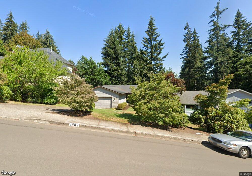
1981 W 27th Place Eugene, OR 97405
Crest Drive NeighborhoodEstimated Value: $497,708 - $535,000
3
Beds
2
Baths
1,504
Sq Ft
$344/Sq Ft
Est. Value
About This Home
This home is located at 1981 W 27th Place, Eugene, OR 97405 and is currently estimated at $516,927, approximately $343 per square foot. 1981 W 27th Place is a home located in Lane County with nearby schools including Adams Elementary School, Arts And Technology Academy At Jefferson, and Churchill High School.
Ownership History
Date
Name
Owned For
Owner Type
Purchase Details
Closed on
Jan 4, 2013
Sold by
Walmsley Wendell A
Bought by
Walmsley Wendell A and Walmsley Joint Trust
Current Estimated Value
Home Financials for this Owner
Home Financials are based on the most recent Mortgage that was taken out on this home.
Original Mortgage
$121,500
Interest Rate
3.27%
Mortgage Type
New Conventional
Purchase Details
Closed on
Dec 19, 2012
Sold by
Walmsley Wendell A
Bought by
Walmsley Wendell A
Home Financials for this Owner
Home Financials are based on the most recent Mortgage that was taken out on this home.
Original Mortgage
$121,500
Interest Rate
3.27%
Mortgage Type
New Conventional
Purchase Details
Closed on
Feb 20, 2008
Sold by
Walmsley Wendell A and Walmsley Maureen H
Bought by
Walmsley Wendell A and Walmsley Maureen H
Create a Home Valuation Report for This Property
The Home Valuation Report is an in-depth analysis detailing your home's value as well as a comparison with similar homes in the area
Home Values in the Area
Average Home Value in this Area
Purchase History
| Date | Buyer | Sale Price | Title Company |
|---|---|---|---|
| Walmsley Wendell A | -- | First American Title | |
| Walmsley Wendell A | -- | First American Title | |
| Walmsley Wendell A | -- | None Available |
Source: Public Records
Mortgage History
| Date | Status | Borrower | Loan Amount |
|---|---|---|---|
| Closed | Walmsley Wendell A | $121,500 |
Source: Public Records
Tax History
| Year | Tax Paid | Tax Assessment Tax Assessment Total Assessment is a certain percentage of the fair market value that is determined by local assessors to be the total taxable value of land and additions on the property. | Land | Improvement |
|---|---|---|---|---|
| 2025 | $6,164 | $316,356 | -- | -- |
| 2024 | $6,087 | $307,142 | -- | -- |
| 2023 | $6,087 | $298,197 | $0 | $0 |
| 2022 | $5,703 | $289,512 | $0 | $0 |
| 2021 | $5,306 | $281,080 | $0 | $0 |
| 2020 | $5,189 | $272,894 | $0 | $0 |
| 2019 | $4,953 | $264,946 | $0 | $0 |
| 2018 | $4,604 | $249,738 | $0 | $0 |
| 2017 | $4,320 | $249,738 | $0 | $0 |
| 2016 | $4,202 | $242,464 | $0 | $0 |
| 2015 | $4,065 | $235,402 | $0 | $0 |
| 2014 | $3,964 | $228,546 | $0 | $0 |
Source: Public Records
Map
Nearby Homes
- 1955 W 28th Ave
- 2673 Garfield St
- 2850 Garfield St
- 2037 Morning View Dr
- 2225 W 28th Ave
- 1960 W 25th Ave
- 3093 Soloman Loop
- 1783 Graham Dr
- 2315 W 28th Ave
- 2323 W 28th Ave
- 3023 Ashley Loop
- 0 Mclean Blvd Unit 24671448
- 0 Mclean Blvd Unit 697374759
- 2455 W 29th Ave
- 2650 Taylor St
- 2430 Wilson Dr
- 2490 Panorama Dr
- 2572 W 28th Ave
- 2190 Pierce St
- 2634 Suncrest Ave
- 1977 W 27th Place
- 1995 W 27th Place
- 2679 Garfield St
- 2681 Garfield St
- 1965 W 27th Place
- 1978 W 27th Place
- 1996 W 27th Place
- 1953 W 27th Place
- 2680 Garfield St
- 2677 Garfield St
- 2015 W 27th Ave
- 1964 W 27th Place
- 2670 Garfield St
- 1952 W 27th Place
- 2710 Garfield St
- 2025 W 27th Ave
- 2660 Garfield St
- 1895 W 27th Place
- 2795 Garfield St
- 2145 W 27th Ave
Your Personal Tour Guide
Ask me questions while you tour the home.