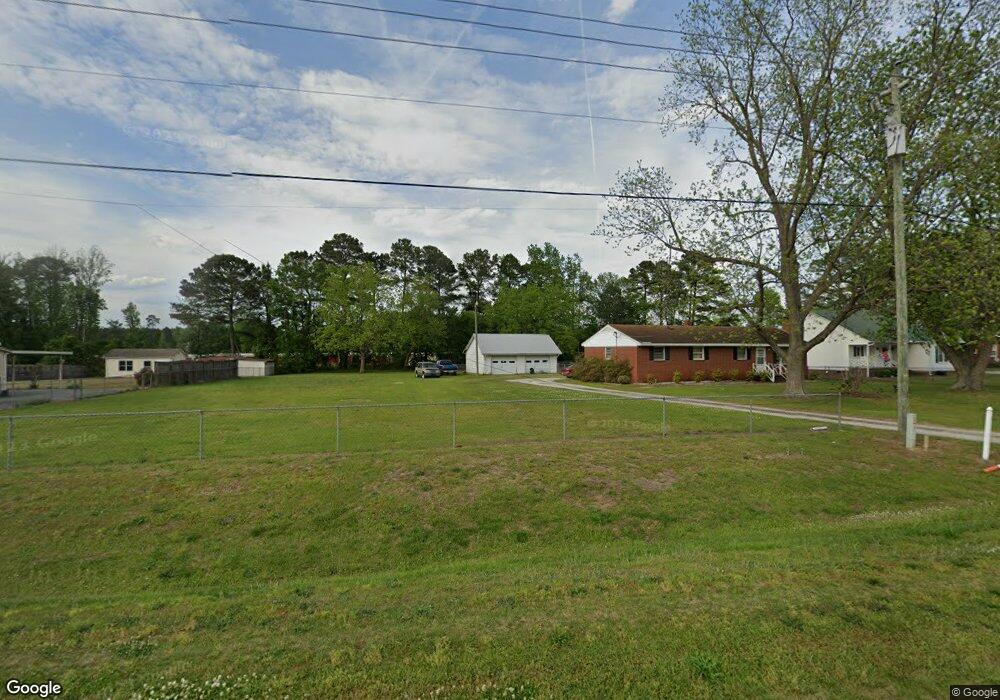
1982 Pauls Path Rd Kinston, NC 28504
Estimated Value: $104,000 - $166,000
3
Beds
1
Bath
864
Sq Ft
$156/Sq Ft
Est. Value
About This Home
This home is located at 1982 Pauls Path Rd, Kinston, NC 28504 and is currently estimated at $134,807, approximately $156 per square foot. 1982 Pauls Path Rd is a home with nearby schools including Banks Elementary School, E.B. Frink Middle School, and North Lenoir High School.
Ownership History
Date
Name
Owned For
Owner Type
Purchase Details
Closed on
Sep 5, 2023
Sold by
Hardison Doris K
Bought by
Seymour Lucas Ty
Current Estimated Value
Purchase Details
Closed on
Oct 23, 2020
Sold by
Seymore Lucas Ty and Seymore Danielle Rosa
Bought by
Hardison Doris
Create a Home Valuation Report for This Property
The Home Valuation Report is an in-depth analysis detailing your home's value as well as a comparison with similar homes in the area
Home Values in the Area
Average Home Value in this Area
Purchase History
We collect this data history from publicly available records. To have your information removed, we recommend requesting removal directly through your county’s website.
| Date | Buyer | Sale Price | Title Company |
|---|---|---|---|
| Seymour Lucas Ty | -- | None Listed On Document | |
| Hardison Doris | -- | None Available |
Source: Public Records
Tax History
| Year | Tax Paid | Tax Assessment Tax Assessment Total Assessment is a certain percentage of the fair market value that is determined by local assessors to be the total taxable value of land and additions on the property. | Land | Improvement |
|---|---|---|---|---|
| 2025 | $777 | $94,891 | $16,620 | $78,271 |
| 2024 | $741 | $72,113 | $10,000 | $62,113 |
| 2023 | $741 | $72,113 | $10,000 | $62,113 |
| 2022 | $741 | $72,113 | $10,000 | $62,113 |
| 2021 | $739 | $72,113 | $10,000 | $62,113 |
| 2020 | $739 | $72,113 | $10,000 | $62,113 |
| 2019 | $741 | $72,113 | $10,000 | $62,113 |
| 2018 | $730 | $72,113 | $10,000 | $62,113 |
| 2017 | $728 | $72,113 | $10,000 | $62,113 |
| 2014 | $722 | $72,534 | $10,000 | $62,534 |
| 2013 | -- | $72,534 | $10,000 | $62,534 |
| 2011 | -- | $72,534 | $10,000 | $62,534 |
Source: Public Records
Map
Nearby Homes
- 0 Hwy 258 N Unit LotWP002
- 2212 Longleaf Pine Dr
- 1905 Hullwood Dr
- 11 Brookwood Rd
- 2671 Brookwood Rd
- 2443 Creekside Rd
- 00 Hwy 258 N Unit LotWP003
- 1957 Country Squire Rd
- 2211 Beechnut Dr
- 0 Dogwood Ln Unit 100189056
- 2485 Pine Knoll Dr
- 2111 Westwood Dr
- 2131 Brinson St
- Lot 1 Alton Phillips Rd
- 2941 Poole Rd
- 0 Hull Rd Unit LotWP002
- 0 Hull Rd Unit LotWP001
- 3163 Fox Run Cir
- 1729 Holly Ridge Rd
- 2448 Troy Ct
- 1956 Pauls Path Rd
- 1956 Smith Farm Rd
- 1792 Pauls Path Rd
- 1944 Smith Farm Rd
- 1804 Pauls Path Rd
- 1936 Smith Farm Rd
- 1930 Smith Farm Rd
- 1820 Pauls Path Rd
- 1842 Pauls Path Rd
- 2407 Hwy 258 N
- 1858 Pauls Path Rd
- 2472 Us Highway 258 N
- 2429 Hwy 258 N
- 2484 Us Highway 258 N
- 1859 Pauls Path Rd
- 1872 Pauls Path Rd
- 2465 Us Highway 258 N
- 1873 Pauls Path Rd
- 2500 Us Highway 258 N
- 2500 Us Highway 258 N
Your Personal Tour Guide
Ask me questions while you tour the home.