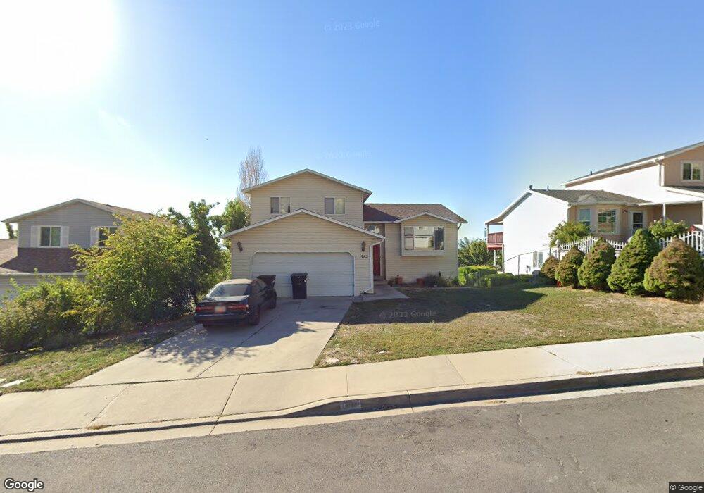
1982 S Nevada Ave Provo, UT 84606
Provost NeighborhoodEstimated Value: $537,000 - $751,000
5
Beds
3
Baths
3,380
Sq Ft
$179/Sq Ft
Est. Value
About This Home
This home is located at 1982 S Nevada Ave, Provo, UT 84606 and is currently estimated at $604,863, approximately $178 per square foot. 1982 S Nevada Ave is a home located in Utah County with nearby schools including Spring Creek Elementary School, Centennial Middle School, and Timpview High School.
Ownership History
Date
Name
Owned For
Owner Type
Purchase Details
Closed on
Sep 17, 1999
Sold by
Khung Chi Lai Toby and Tam Tin Lok
Bought by
Lee R Bruce R and Lee Erika
Current Estimated Value
Home Financials for this Owner
Home Financials are based on the most recent Mortgage that was taken out on this home.
Original Mortgage
$135,200
Outstanding Balance
$40,298
Interest Rate
7.89%
Estimated Equity
$564,565
Create a Home Valuation Report for This Property
The Home Valuation Report is an in-depth analysis detailing your home's value as well as a comparison with similar homes in the area
Home Values in the Area
Average Home Value in this Area
Purchase History
| Date | Buyer | Sale Price | Title Company |
|---|---|---|---|
| Lee R Bruce R | -- | Summit Title Co |
Source: Public Records
Mortgage History
| Date | Status | Borrower | Loan Amount |
|---|---|---|---|
| Open | Lee R Bruce R | $135,200 |
Source: Public Records
Tax History
| Year | Tax Paid | Tax Assessment Tax Assessment Total Assessment is a certain percentage of the fair market value that is determined by local assessors to be the total taxable value of land and additions on the property. | Land | Improvement |
|---|---|---|---|---|
| 2025 | $2,605 | $265,540 | -- | -- |
| 2024 | $2,605 | $256,410 | $0 | $0 |
| 2023 | $2,657 | $257,840 | $0 | $0 |
| 2022 | $2,511 | $245,740 | $0 | $0 |
| 2021 | $1,970 | $336,200 | $103,400 | $232,800 |
| 2020 | $1,898 | $303,700 | $94,000 | $209,700 |
| 2019 | $1,825 | $303,700 | $94,000 | $209,700 |
| 2018 | $1,758 | $296,700 | $87,000 | $209,700 |
| 2017 | $1,545 | $143,220 | $0 | $0 |
| 2016 | $1,412 | $121,990 | $0 | $0 |
| 2015 | $1,296 | $113,245 | $0 | $0 |
| 2014 | $1,175 | $107,030 | $0 | $0 |
Source: Public Records
Map
Nearby Homes
- 2044 S Nevada Ave
- 2048 S Nevada Ave
- 2030 Nevada Cir
- 1353 E 1640 S Unit H101
- 1353 E 1640 S Unit H103
- 1377 S 1650 E
- 1225 E 1600 South St Unit 12
- 1225 E 1600 South St Unit 4
- 1402 S 1470 E
- 1311 Alpine Loop
- 1261 E 1500 S
- 1482 E 1280 S
- 1347 S 1370 E
- 1145 Canyon Meadow Dr Unit 5
- 1141 E 1320 S Unit A404
- 1141 E 1320 S Unit B401
- 1141 E 1320 S Unit D104
- 1141 E 1320 S Unit D303
- 1141 E 1320 S Unit 302
- 1141 E 1320 S
- 1976 S Nevada Ave
- 1988 S Nevada Ave
- 2002 Nevada Ave
- 1964 Nevada Ave
- 1964 S Nevada Ave
- 1981 S Nevada Ave
- 1997 S Nevada Ave
- 1969 S Nevada Ave
- 1997 S Nevada Ave
- 1952 S Nevada Ave
- 1952 S Nevada Ave
- 1957 S Nevada Ave
- 1957 S Nevada Ave
- 2009 Nevada Ave
- 1942 S Nevada Ave
- 2046 California Ave
- 2046 California Ave Unit 14
- 2046 California Ave Unit 19
- 2046 California Ave Unit 13
- 2046 California Ave Unit 17
Your Personal Tour Guide
Ask me questions while you tour the home.