1985 N 3189th Rd Ottawa, IL 61350
Estimated Value: $331,000 - $368,000
Studio
--
Bath
1,105
Sq Ft
$312/Sq Ft
Est. Value
About This Home
This home is located at 1985 N 3189th Rd, Ottawa, IL 61350 and is currently estimated at $345,021, approximately $312 per square foot. 1985 N 3189th Rd is a home located in LaSalle County with nearby schools including Wallace Elementary School and Ottawa Township High School.
Ownership History
Date
Name
Owned For
Owner Type
Purchase Details
Closed on
Aug 4, 2020
Sold by
Chapman Ralph A
Bought by
Kubinski Tadeuz B and Harms Madison L
Current Estimated Value
Purchase Details
Closed on
Aug 1, 2020
Sold by
Chapman Catherine
Bought by
Kubinski Tadeuz B and Harms Madison L
Purchase Details
Closed on
Jun 30, 2020
Sold by
Chapman Ralph A and Chapman Catherine
Bought by
Kubinski Tadeuz B and Harms Madsion L
Create a Home Valuation Report for This Property
The Home Valuation Report is an in-depth analysis detailing your home's value as well as a comparison with similar homes in the area
Home Values in the Area
Average Home Value in this Area
Purchase History
We collect this data history from publicly available records. To have your information removed, we recommend requesting removal directly through your county’s website.
| Date | Buyer | Sale Price | Title Company |
|---|---|---|---|
| Kubinski Tadeuz B | $245,000 | None Available | |
| Kubinski Tadeuz B | -- | None Available | |
| Kubinski Tadeuz B | -- | None Available |
Source: Public Records
Tax History
| Year | Tax Paid | Tax Assessment Tax Assessment Total Assessment is a certain percentage of the fair market value that is determined by local assessors to be the total taxable value of land and additions on the property. | Land | Improvement |
|---|---|---|---|---|
| 2025 | $6,259 | $92,513 | $21,676 | $70,837 |
| 2024 | $6,259 | $88,733 | $20,790 | $67,943 |
| 2023 | $5,247 | $73,942 | $18,364 | $55,578 |
| 2022 | $4,856 | $67,781 | $16,834 | $50,947 |
| 2021 | $4,503 | $62,656 | $15,561 | $47,095 |
| 2020 | $4,488 | $62,656 | $15,561 | $47,095 |
| 2019 | $4,473 | $61,803 | $15,349 | $46,454 |
| 2018 | $4,178 | $57,787 | $14,352 | $43,435 |
| 2017 | $3,939 | $54,977 | $13,654 | $41,323 |
| 2016 | $3,744 | $52,847 | $13,125 | $39,722 |
| 2015 | $3,056 | $44,159 | $8,439 | $35,720 |
| 2012 | -- | $45,100 | $8,619 | $36,481 |
Source: Public Records
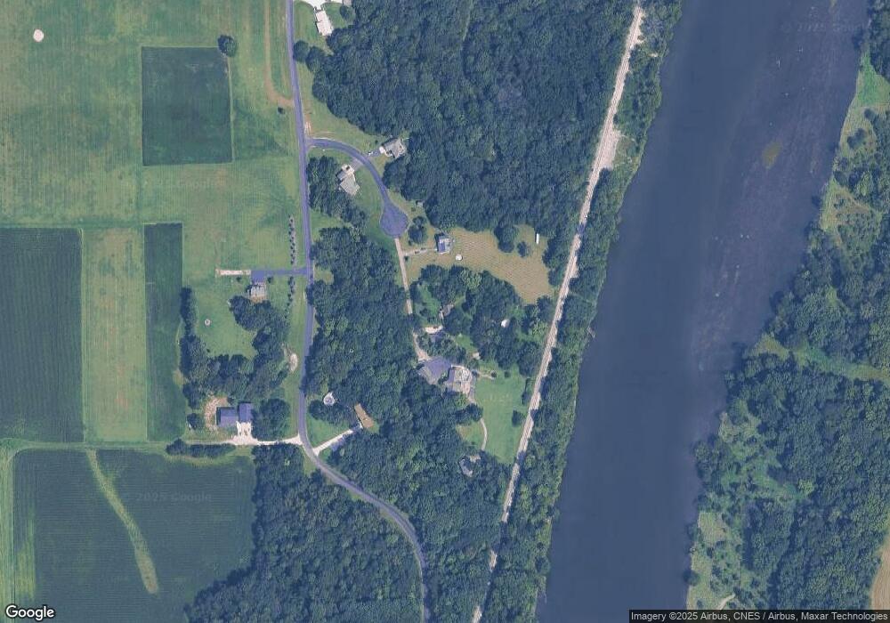
Map
Nearby Homes
- 1977 N 3103 #11 Rd
- 000 Dayton Rd
- 3 Wood Duck Ln
- 1906 N 2959th Rd
- 801 E Etna Rd
- Lots 2 and 3 E Etna Rd
- 2136 N 34th Rd
- 0000 Caleb Dr
- 2925 E 1979th Rd
- 2717 Cherie Ln
- 2602 Cherie Ln
- 2506 Sunset Blvd
- 301 Hillside Ave
- 000 Kain St
- 312 Kain St
- 2511 Reynolds Manor Dr
- 412 Deer Timber Ln
- 411 Deer Timber Ln
- 415 Deer Timber Ln
- 0000 N 2753rd Rd
- 1985 N 3189th Rd
- 1979 N 3189th Rd
- 3186 E 1969th Rd
- 1988 N 3189th Rd
- 3176 E 1969th Rd
- 1974 N 3189 Rd
- 1974 N 3189th Rd
- 3192 E 1969th Rd
- 1974 N 3189th Rd
- 1975 N 3189th Rd
- 3183 E 1969th Rd
- 0 1969 Rd Unit 9781831
- 0 1969 Rd Unit 7571336
- 0 1969 Rd Unit 9305718
- 3202 E 1969th Rd
- 3177 E 1969th Rd
- 3129 E 1969th Rd
- 3122 E 1969th Rd
- 1977 N 3103rd Rd
- 1977 N 3103rd Rd Unit 7
Your Personal Tour Guide
Ask me questions while you tour the home.