Estimated Value: $297,000 - $400,000
About This Home
This home is located at 1985 Red Run Dr, Dorr, MI 49323 and is currently estimated at $359,882, approximately $316 per square foot. 1985 Red Run Dr is a home located in Allegan County with nearby schools including Wayland High School, St Marys Catholic Schools, and St. Stanislaus School.
Ownership History
We collect this data history from publicly available records. To have your information removed, we recommend requesting removal directly through your county’s website.
Purchase Details
Home Financials for this Owner
Home Financials are based on the most recent Mortgage that was taken out on this home.Purchase Details
Home Financials for this Owner
Home Financials are based on the most recent Mortgage that was taken out on this home.Home Values in the Area
Average Home Value in this Area
Purchase History
We collect this data history from publicly available records. To have your information removed, we recommend requesting removal directly through your county’s website.
| Date | Buyer | Sale Price | Title Company |
|---|---|---|---|
| $162,000 | -- | ||
| -- | Chicago Title |
Mortgage History
We collect this data history from publicly available records. To have your information removed, we recommend requesting removal directly through your county’s website.
| Date | Status | Borrower | Loan Amount |
|---|---|---|---|
| Open | $165,564 | ||
| Previous Owner | $76,500 |
Tax History
We collect this data history from publicly available records. To have your information removed, we recommend requesting removal directly through your county’s website.
| Year | Tax Paid | Tax Assessment Tax Assessment Total Assessment is a certain percentage of the fair market value that is determined by local assessors to be the total taxable value of land and additions on the property. | Land | Improvement |
|---|---|---|---|---|
| 2025 | $2,637 | $159,500 | $55,200 | $104,300 |
| 2024 | $2,358 | $147,300 | $51,200 | $96,100 |
| 2023 | $2,415 | $131,900 | $45,800 | $86,100 |
| 2022 | $2,358 | $113,200 | $40,900 | $72,300 |
| 2021 | $2,217 | $106,300 | $38,100 | $68,200 |
| 2020 | $2,120 | $98,500 | $33,100 | $65,400 |
| 2019 | $2,120 | $88,700 | $28,700 | $60,000 |
| 2018 | $2,073 | $79,600 | $11,000 | $68,600 |
| 2017 | $0 | $83,100 | $11,000 | $72,100 |
| 2016 | $0 | $70,600 | $16,500 | $54,100 |
| 2015 | -- | $70,600 | $16,500 | $54,100 |
| 2014 | -- | $64,100 | $16,500 | $47,600 |
| 2013 | -- | $61,900 | $16,500 | $45,400 |
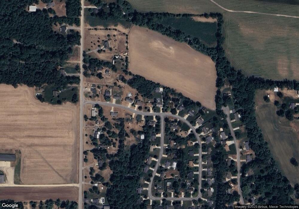
Map
- 4317 Saturn Dr
- Lots A&B 142nd Ave
- 1341 142nd Ave
- 4072 Ronalds Rd
- 4092 Arndt Ct
- 4146 Sandy Dr
- 1684 Ann St
- 4096 Janet Dr
- 4281 Medie St
- 1691 Stratford Ave
- V/L 146th Ave SW
- V/L Parcel B 18th St
- 0 V L 142nd Ave
- V/L Parcel A 18th St
- (Parcel B) 108th St SW
- (Parcel A) 108th St SW
- 4776 18th St SW
- Lot A 142nd Ave
- Lot B 142nd Ave
- 10785 Windward Ave SW
- 1987 Red Run Dr
- 1981 Red Run Dr
- 1989 Red Run Dr
- 1979 Red Run Dr
- 1984 Red Run Dr
- 1986 Red Run Dr
- 1991 Red Run Dr
- 1988 Red Run Dr
- 1978 Red Run Dr
- 1977 Red Run Dr
- 4260 Redwood Ln
- 1975 Red Run Dr
- 1990 Red Run Dr
- 1993 Red Run Dr
- 1974 Red Run Dr
- 4258 Redwood Ln
- 4259 Redwood Ln
- 4279 20th St
- 4257 Redwood Ln
- 1973 Red Run Dr
Ask me questions while you tour the home.