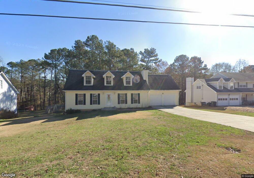
1985 Rocksram Dr Buford, GA 30519
Estimated Value: $405,000 - $423,000
3
Beds
2
Baths
2,454
Sq Ft
$168/Sq Ft
Est. Value
About This Home
This home is located at 1985 Rocksram Dr, Buford, GA 30519 and is currently estimated at $412,165, approximately $167 per square foot. 1985 Rocksram Dr is a home located in Gwinnett County with nearby schools including Woodward Mill Elementary School, Twin Rivers Middle School, and Mountain View High School.
Ownership History
Date
Name
Owned For
Owner Type
Purchase Details
Closed on
Jan 19, 2018
Sold by
Smith Douglas F
Bought by
Sutton William and Sutton Ila
Current Estimated Value
Home Financials for this Owner
Home Financials are based on the most recent Mortgage that was taken out on this home.
Original Mortgage
$148,117
Outstanding Balance
$124,702
Interest Rate
3.94%
Mortgage Type
VA
Estimated Equity
$287,463
Create a Home Valuation Report for This Property
The Home Valuation Report is an in-depth analysis detailing your home's value as well as a comparison with similar homes in the area
Home Values in the Area
Average Home Value in this Area
Purchase History
| Date | Buyer | Sale Price | Title Company |
|---|---|---|---|
| Sutton William | $145,000 | -- |
Source: Public Records
Mortgage History
| Date | Status | Borrower | Loan Amount |
|---|---|---|---|
| Open | Sutton William | $148,117 |
Source: Public Records
Tax History
| Year | Tax Paid | Tax Assessment Tax Assessment Total Assessment is a certain percentage of the fair market value that is determined by local assessors to be the total taxable value of land and additions on the property. | Land | Improvement |
|---|---|---|---|---|
| 2025 | $1,544 | $179,480 | $23,920 | $155,560 |
| 2024 | $1,538 | $167,160 | $28,000 | $139,160 |
| 2023 | $1,538 | $167,240 | $28,000 | $139,240 |
| 2022 | $1,499 | $116,520 | $16,000 | $100,520 |
| 2021 | $1,486 | $103,360 | $16,000 | $87,360 |
| 2020 | $1,484 | $103,360 | $16,000 | $87,360 |
| 2019 | $950 | $58,000 | $16,000 | $42,000 |
| 2018 | $2,797 | $89,320 | $16,000 | $73,320 |
| 2016 | $2,433 | $71,480 | $12,400 | $59,080 |
| 2015 | $2,226 | $61,160 | $8,400 | $52,760 |
| 2014 | -- | $61,160 | $8,400 | $52,760 |
Source: Public Records
Map
Nearby Homes
- 2317 Rocksram Ct
- 2242 Rocksram Ct
- 1880 Rocksram Dr Unit 1
- 2220 Sunny Hill Rd
- 2375 Rock Springs Rd
- 2199 Sunny Hill Rd
- 2159 Sunny Hill Rd
- 2469 Rock Springs Rd Unit LOT 2
- 2469 Rock Springs Rd
- 2473 Rock Springs Rd
- 2473 Rock Springs Rd Unit LOT 4
- 1948 Trestlebrook Way Unit 3
- 2510 Sunny Hill Rd
- 1521 Jami Hollow Way
- 1975 Wynfield Point Dr
- 1845 Hanover West Dr
- 1876 Hanover West Dr
- 2012 Arbor Springs Way
- 2467 Gristhaven Ln
- 2596 Gristhaven Ln
- 1975 Rocksram Dr
- 1995 Rocksram Dr
- 1965 Rocksram Dr
- 2005 Rocksram Dr Unit 2
- 2005 Rocksram Dr
- 2005 Rocksram Dr Unit 2005
- 1980 Rocksram Dr
- 1990 Rocksram Dr Unit GA1224
- 1990 Rocksram Dr
- 1990 Rocksram Dr Unit GA12243
- 1970 Rocksram Dr
- 1955 Rocksram Dr
- 2015 Rocksram Dr
- 1960 Rocksram Dr
- 2000 Rocksram Dr
- 2010 Rocksram Dr
- 1950 Rocksram Dr Unit 2
- 2025 Rocksram Dr
- 1945 Rocksram Dr Unit 1
- 1940 Rocksram Dr Unit 1
Your Personal Tour Guide
Ask me questions while you tour the home.