1986 Georgetown Ln Hoffman Estates, IL 60169
South Hoffman Estates NeighborhoodEstimated Value: $263,812 - $295,000
About This Home
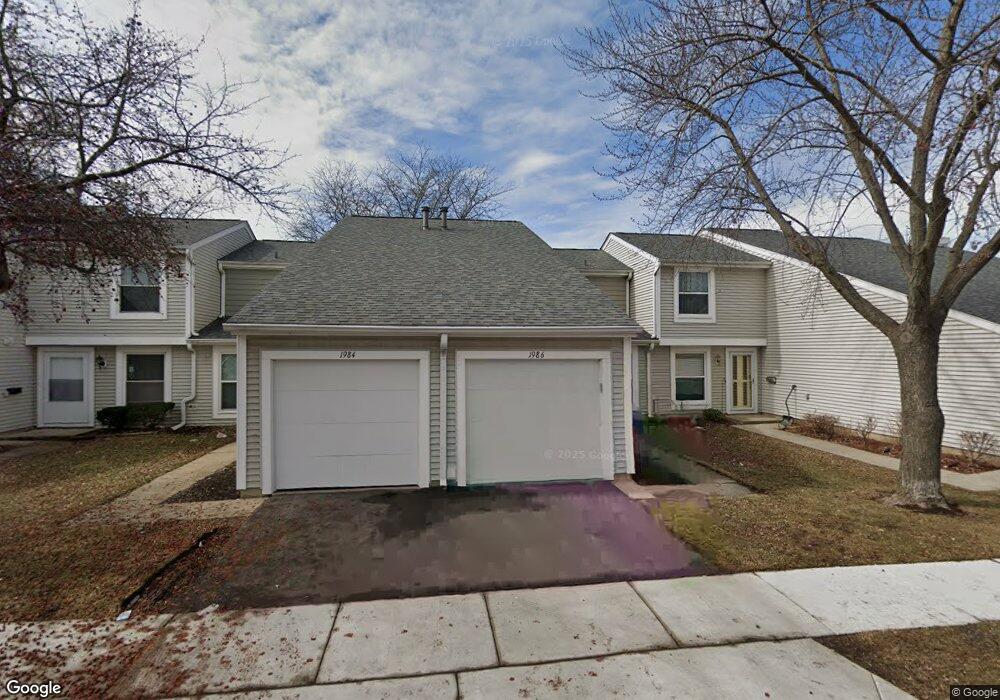
This home is located at 1986 Georgetown Ln, Hoffman Estates, IL 60169 and is currently estimated at $279,453, approximately $241 per square foot. 1986 Georgetown Ln is a home located in Cook County with nearby schools including John Muir Literacy Academy, Dwight D Eisenhower Junior High School, and Hoffman Estates High School.
Ownership History
We collect this data history from publicly available records. To have your information removed, we recommend requesting removal directly through your county’s website.
Purchase Details
Home Values in the Area
Average Home Value in this Area
Purchase History
We collect this data history from publicly available records. To have your information removed, we recommend requesting removal directly through your county’s website.
| Date | Buyer | Sale Price | Title Company |
|---|---|---|---|
| -- | -- |
Tax History
We collect this data history from publicly available records. To have your information removed, we recommend requesting removal directly through your county’s website.
| Year | Tax Paid | Tax Assessment Tax Assessment Total Assessment is a certain percentage of the fair market value that is determined by local assessors to be the total taxable value of land and additions on the property. | Land | Improvement |
|---|---|---|---|---|
| 2025 | $4,046 | $21,000 | $3,504 | $17,496 |
| 2024 | $4,046 | $16,500 | $3,000 | $13,500 |
| 2023 | $3,884 | $16,500 | $3,000 | $13,500 |
| 2022 | $3,884 | $16,500 | $3,000 | $13,500 |
| 2021 | $3,286 | $13,138 | $2,759 | $10,379 |
| 2020 | $3,284 | $13,138 | $2,759 | $10,379 |
| 2019 | $3,270 | $14,598 | $2,759 | $11,839 |
| 2018 | $3,467 | $14,068 | $2,409 | $11,659 |
| 2017 | $3,425 | $14,068 | $2,409 | $11,659 |
| 2016 | $3,447 | $14,068 | $2,409 | $11,659 |
| 2015 | $3,307 | $12,920 | $2,102 | $10,818 |
| 2014 | $3,266 | $12,920 | $2,102 | $10,818 |
| 2013 | $3,164 | $12,920 | $2,102 | $10,818 |
Map
- 1987 Oxford Ln Unit 2
- 1985 Leiter Way Unit 1102
- 2021 Kensington Ln Unit 3004
- 2027 Kensington Ln Unit 3001
- 2025 Kensington Ln Unit 3002
- 2023 Kensington Ln Unit 3003
- 1929 Whitingham Ln Unit 1
- 1993 Leiter Way Unit 10002
- 1996 Leiter Way Unit 14002
- 1992 Leiter Way Unit 14004
- 1991 Leiter Way Unit 10001
- 1995 Leiter Way Unit 10003
- 1931 Governors Ln Unit 1
- 1773 Raleigh Ln Unit 8161
- 1848 Stockton Dr Unit 3302
- 1801 Jamestown Cir Unit 3183
- 2259 Briar Ct Unit 63
- 1943 Hancock Dr Unit 5493
- 2267 Briar Ct Unit 65
- 1863 Williamsburg Dr
- 1984 Georgetown Ln
- 1984 Georgetown Ln Unit 461
- 1988 Georgetown Ln
- 1982 Georgetown Ln Unit 4
- 1990 Georgetown Ln Unit 4
- 1980 Georgetown Ln Unit 4
- 1992 Georgetown Ln
- 1989 Oxford Ln Unit 2
- 1991 Oxford Ln Unit 2
- 1994 Georgetown Ln Unit 4
- 1994 Georgetown Ln Unit 1994
- 2055 Kettering Rd Unit 2
- 1987 Georgetown Ln Unit 4
- 1989 Georgetown Ln Unit 4
- 1993 Oxford Ln Unit 2
- 1985 Georgetown Ln Unit 4
- 1978 Georgetown Ln Unit 4
- 1991 Georgetown Ln
- 2059 Kettering Rd Unit 2
- 1996 Georgetown Ln
Ask me questions while you tour the home.