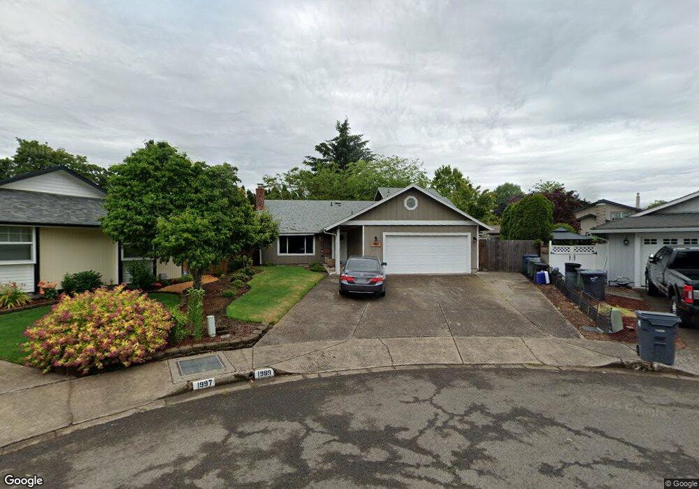
1989 Margaret St Eugene, OR 97401
Cal Young NeighborhoodEstimated Value: $510,598 - $557,000
3
Beds
2
Baths
1,720
Sq Ft
$306/Sq Ft
Est. Value
About This Home
This home is located at 1989 Margaret St, Eugene, OR 97401 and is currently estimated at $526,650, approximately $306 per square foot. 1989 Margaret St is a home located in Lane County with nearby schools including Willagillespie Elementary School, Monroe Middle School, and Sheldon High School.
Ownership History
Date
Name
Owned For
Owner Type
Purchase Details
Closed on
Apr 15, 2013
Sold by
Moore Colette R Gressel and Moore Van Riper
Bought by
Gressel Moore Douglas A and Gressel Moore Colette R
Current Estimated Value
Home Financials for this Owner
Home Financials are based on the most recent Mortgage that was taken out on this home.
Original Mortgage
$161,500
Outstanding Balance
$113,811
Interest Rate
3.51%
Mortgage Type
New Conventional
Estimated Equity
$412,839
Purchase Details
Closed on
Jun 10, 2005
Sold by
Vanriper Gary Dean
Bought by
Vanriper Colette Renee
Purchase Details
Closed on
Apr 29, 2003
Sold by
Mills James and Mills Tricia L
Bought by
Bank Of New York
Create a Home Valuation Report for This Property
The Home Valuation Report is an in-depth analysis detailing your home's value as well as a comparison with similar homes in the area
Home Values in the Area
Average Home Value in this Area
Purchase History
| Date | Buyer | Sale Price | Title Company |
|---|---|---|---|
| Gressel Moore Douglas A | -- | First American Title | |
| Vanriper Colette Renee | -- | -- | |
| Bank Of New York | $98,900 | Multiple |
Source: Public Records
Mortgage History
| Date | Status | Borrower | Loan Amount |
|---|---|---|---|
| Open | Gressel Moore Douglas A | $161,500 |
Source: Public Records
Tax History
| Year | Tax Paid | Tax Assessment Tax Assessment Total Assessment is a certain percentage of the fair market value that is determined by local assessors to be the total taxable value of land and additions on the property. | Land | Improvement |
|---|---|---|---|---|
| 2025 | $5,471 | $280,795 | -- | -- |
| 2024 | $5,403 | $272,617 | -- | -- |
| 2023 | $5,403 | $264,677 | $0 | $0 |
| 2022 | $5,062 | $256,968 | $0 | $0 |
| 2021 | $4,754 | $249,484 | $0 | $0 |
| 2020 | $4,771 | $242,218 | $0 | $0 |
| 2019 | $4,608 | $235,164 | $0 | $0 |
| 2018 | $4,337 | $221,665 | $0 | $0 |
| 2017 | $4,110 | $221,665 | $0 | $0 |
| 2016 | $3,921 | $215,209 | $0 | $0 |
| 2015 | $3,759 | $208,941 | $0 | $0 |
| 2014 | $3,631 | $202,855 | $0 | $0 |
Source: Public Records
Map
Nearby Homes
- 1810 Minda Dr
- 2291 Norkenzie Rd
- 2132 Willona Dr
- 2134 Willona Dr
- 1943 Monterey Ln
- 1697 Elanco Ave
- 2207 Willona Dr
- 1521 Gilham Rd
- 2495 Jeppesen Acres Rd
- 1332 Jeppesen Ave
- 2280 Tabor St
- 0 Cal Young Rd Unit Lot 4
- 1500 Norkenzie Rd Unit 12
- 2420 Willona Dr
- 1455 Holly Ave
- 0 Piper Ln Unit Lot 1
- 0 Piper Ln Unit Lot 3
- 0 Piper Ln Unit Lot 2
- 0 Piper Ln Unit Lot 5
- 1328 Spyglass Dr
- 1985 Margaret St
- 1997 Margaret St
- 1998 Shiloh St
- 2074 Shiloh St
- 1994 Shiloh St
- 1981 Margaret St
- 2072 Shiloh St
- 1996 Margaret St
- 1982 Shiloh St
- 1961 Margaret St
- 1988 Margaret St
- 2076 Shiloh St
- 1980 Margaret St
- 2078 Shiloh St
- 1962 Shiloh St
- 1997 Shiloh St
- 1931 Margaret St
- 1960 Margaret St
- 2023 Shiloh St
- 1987 Shiloh St
Your Personal Tour Guide
Ask me questions while you tour the home.