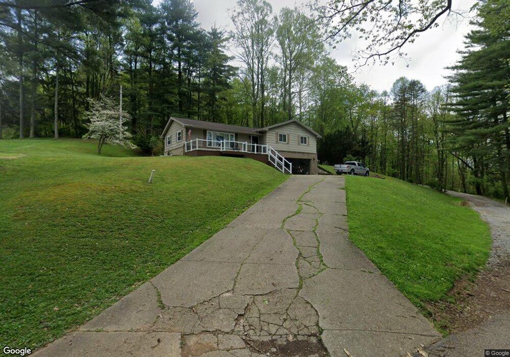
199 Ash St Newcomerstown, OH 43832
Estimated Value: $175,429 - $255,000
3
Beds
2
Baths
1,533
Sq Ft
$136/Sq Ft
Est. Value
About This Home
This home is located at 199 Ash St, Newcomerstown, OH 43832 and is currently estimated at $208,857, approximately $136 per square foot. 199 Ash St is a home located in Tuscarawas County with nearby schools including West Elementary School, East Elementary School, and Newcomerstown Middle School.
Ownership History
Date
Name
Owned For
Owner Type
Purchase Details
Closed on
Oct 25, 2005
Sold by
Huffman Thomas A and Huffman Nancy L
Bought by
Pulley Eddie D and Pulley Rebecca
Current Estimated Value
Home Financials for this Owner
Home Financials are based on the most recent Mortgage that was taken out on this home.
Original Mortgage
$126,232
Interest Rate
5.82%
Mortgage Type
VA
Create a Home Valuation Report for This Property
The Home Valuation Report is an in-depth analysis detailing your home's value as well as a comparison with similar homes in the area
Home Values in the Area
Average Home Value in this Area
Purchase History
| Date | Buyer | Sale Price | Title Company |
|---|---|---|---|
| Pulley Eddie D | $244,400 | -- |
Source: Public Records
Mortgage History
| Date | Status | Borrower | Loan Amount |
|---|---|---|---|
| Closed | Pulley Eddie D | $126,232 |
Source: Public Records
Tax History
| Year | Tax Paid | Tax Assessment Tax Assessment Total Assessment is a certain percentage of the fair market value that is determined by local assessors to be the total taxable value of land and additions on the property. | Land | Improvement |
|---|---|---|---|---|
| 2024 | $1,611 | $124,960 | $24,760 | $100,200 |
| 2023 | $1,611 | $124,960 | $24,760 | $100,200 |
| 2022 | $1,535 | $43,736 | $8,666 | $35,070 |
| 2021 | $1,399 | $36,782 | $7,249 | $29,533 |
| 2020 | $1,415 | $36,782 | $7,249 | $29,533 |
| 2019 | $1,432 | $36,782 | $7,249 | $29,533 |
| 2018 | $1,419 | $35,160 | $6,930 | $28,230 |
| 2017 | $1,420 | $35,160 | $6,930 | $28,230 |
| 2016 | $1,417 | $35,160 | $6,930 | $28,230 |
| 2014 | $1,363 | $34,290 | $6,930 | $27,360 |
| 2013 | $1,372 | $34,290 | $6,930 | $27,360 |
Source: Public Records
Map
Nearby Homes
- 555 E Canal St
- 346 N Bridge St
- 782 E State St
- 14098 Washington Ave
- 771 Cross St
- 428 Chestnut St
- 508 Martin Luther King Dr
- 218 S Lawn Dr
- 5671 E State Rd
- 241 Mckinley Ave
- 60883 U S 36
- 298 Mckinley Ave
- 486 Mckinley Ave
- 5931 Beagle Club Rd
- 453 Wood Ave
- 950 Beech St
- 4980 Beagle Club Rd
- 60140 Everals Church Rd
- 6995 Bill Johns Rd
- 3200 Centenary Hill Rd SW
Your Personal Tour Guide
Ask me questions while you tour the home.